Content
The trip
We were so fortunate that we had been invited to stay with Hilde and Rolf in their cottage near Geilo for the weekend, so friday afternoon we set out from Bergen in high spirits. After we had arrived and settled in Rolf and myself decided to try ascending onto Folarskardnuten via Lordehytten the following day.
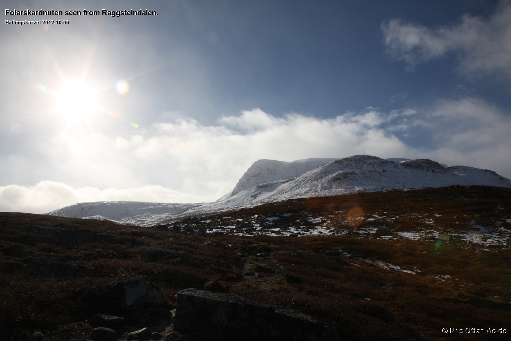
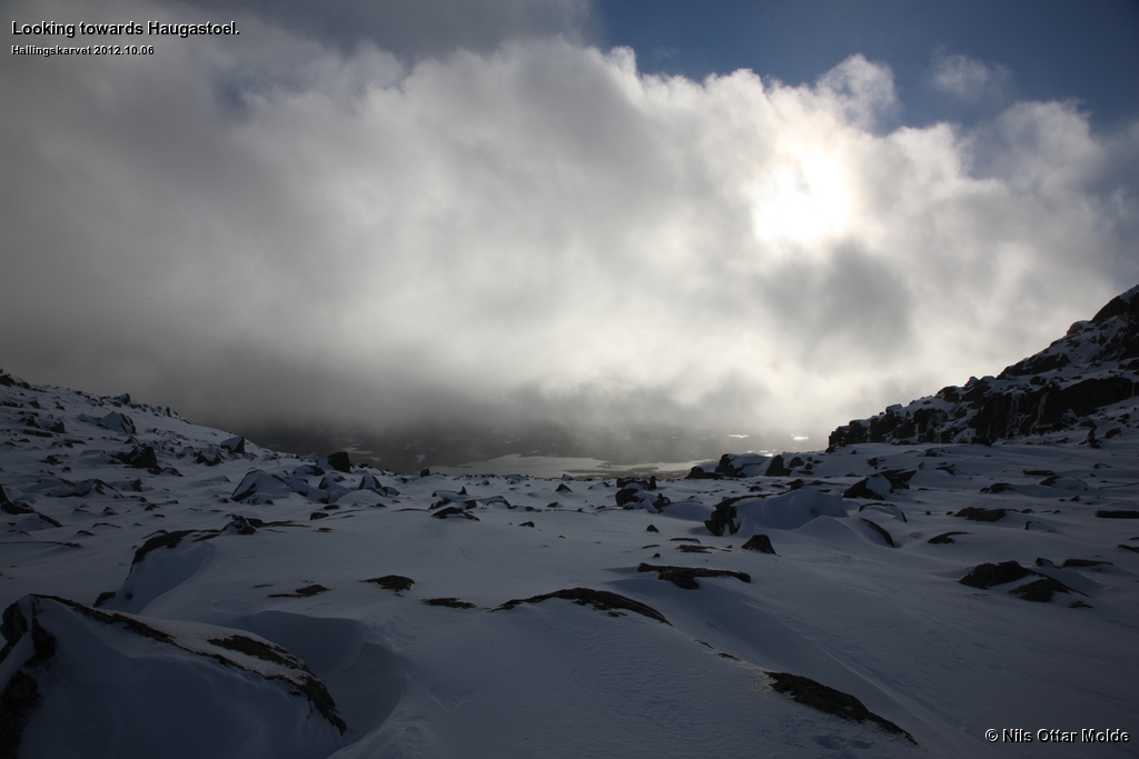
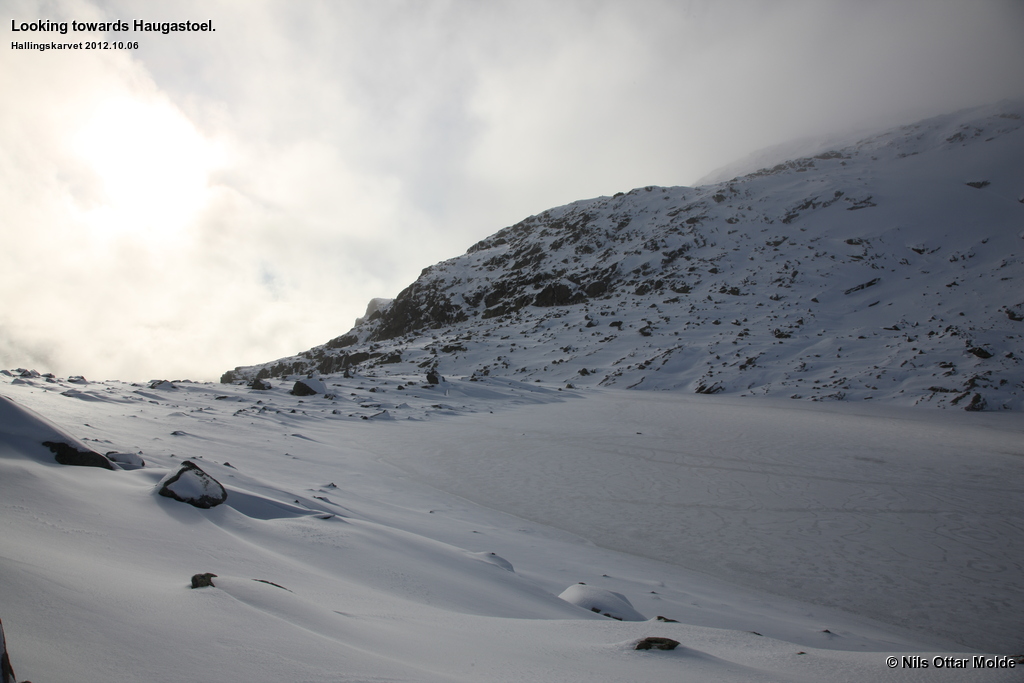
We drove into Raggsteindalen in order to have the shortest distance into Hallingskarvet proper. The alternate route from Haugastøl looked rather dull as the starting point is a long way from the exciting terrain.
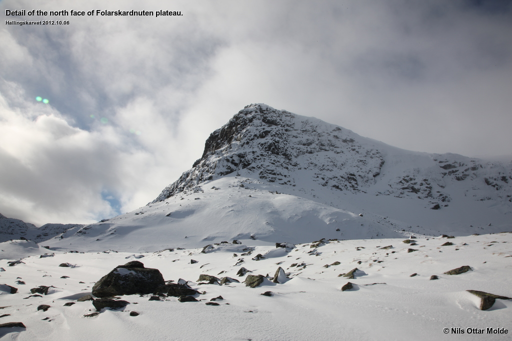
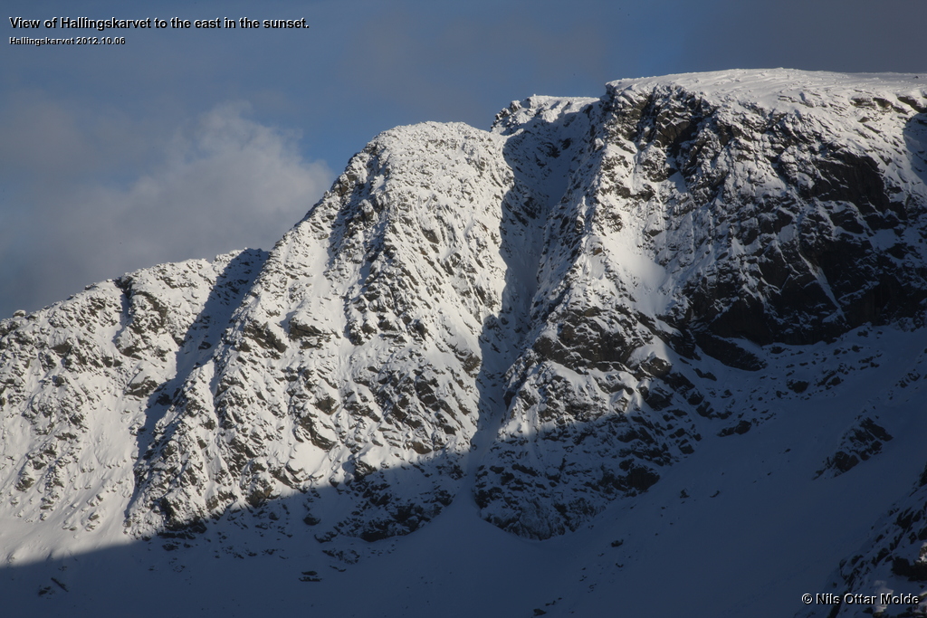
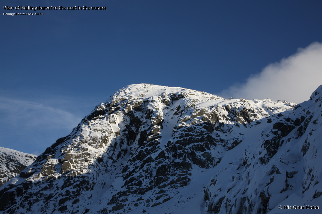
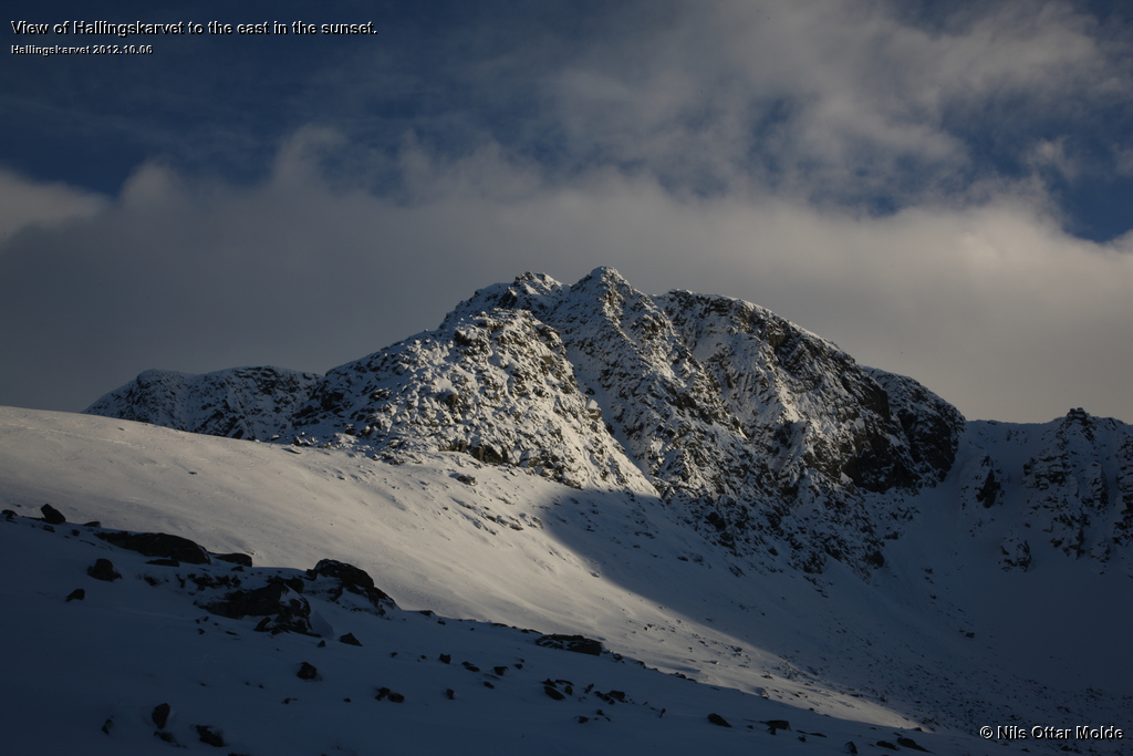
The weather was sunny but cold with a bit of wind. What caught us completely by surprise was the fact that the top of Hallingskarvet was covered in snow. The evening before when we drove up to Geilo it had been so dark that we had not seen Hallingskarvet at all.
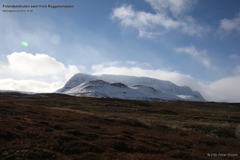
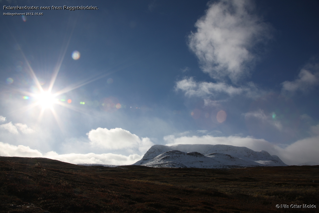
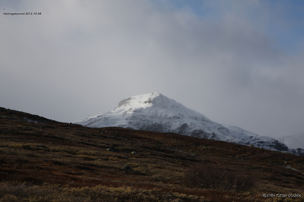
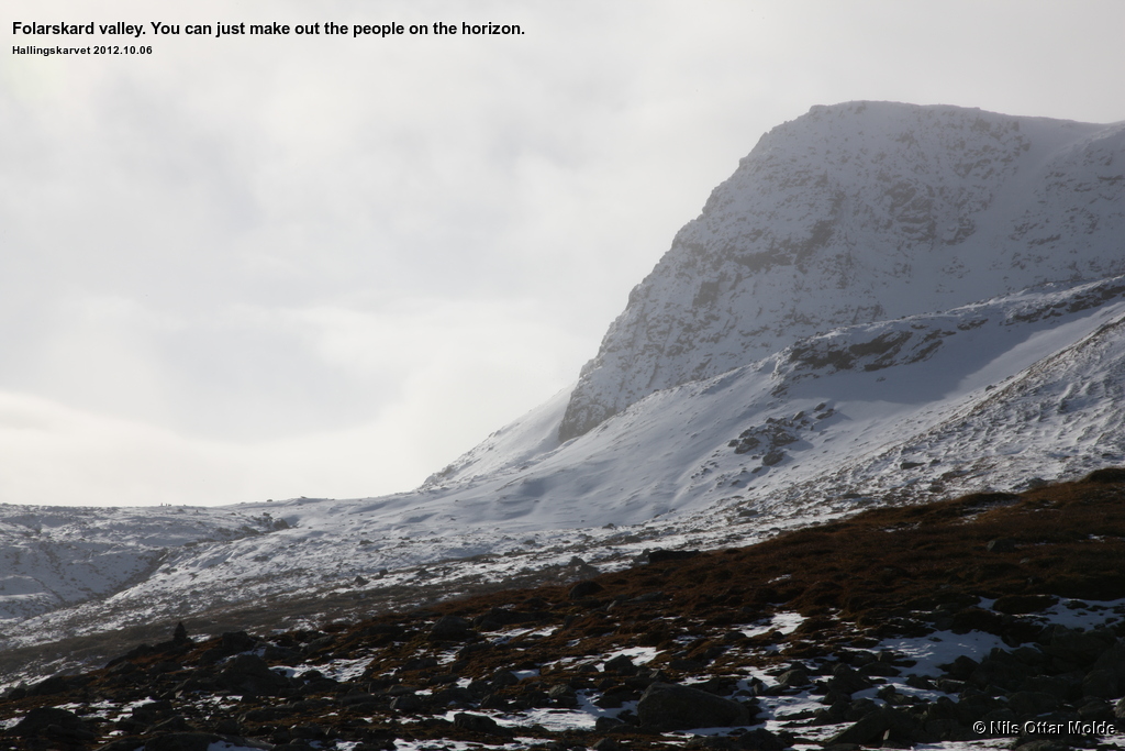
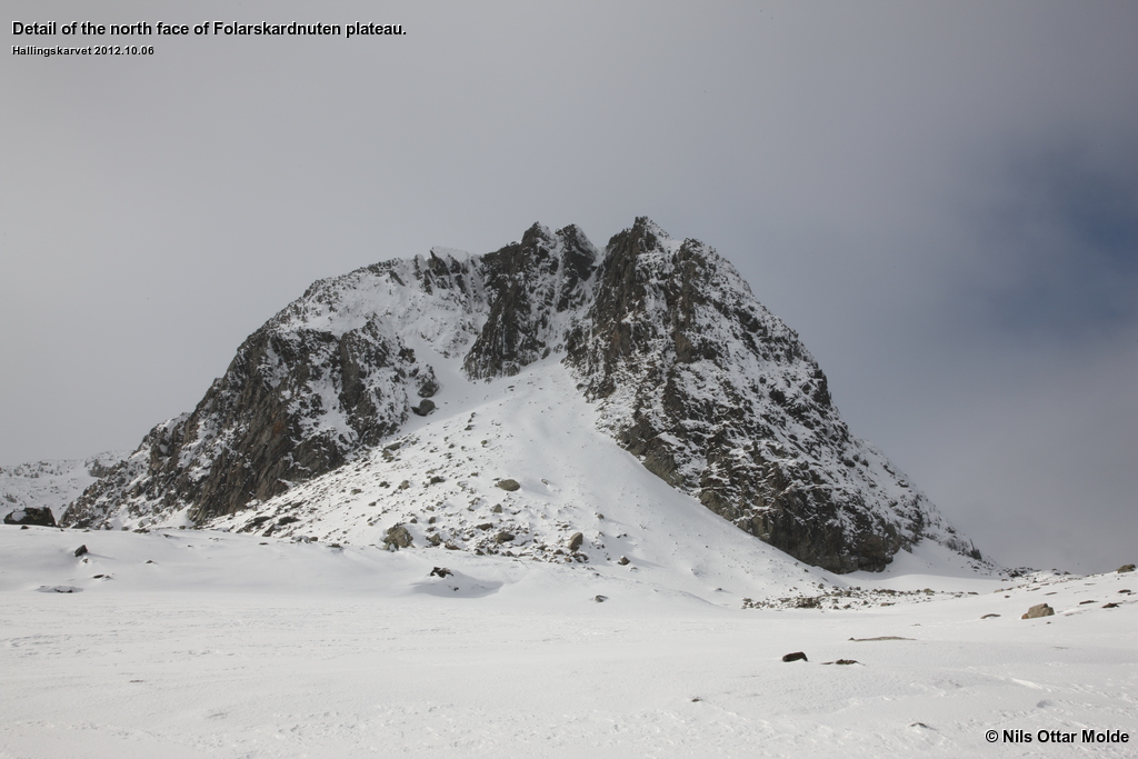
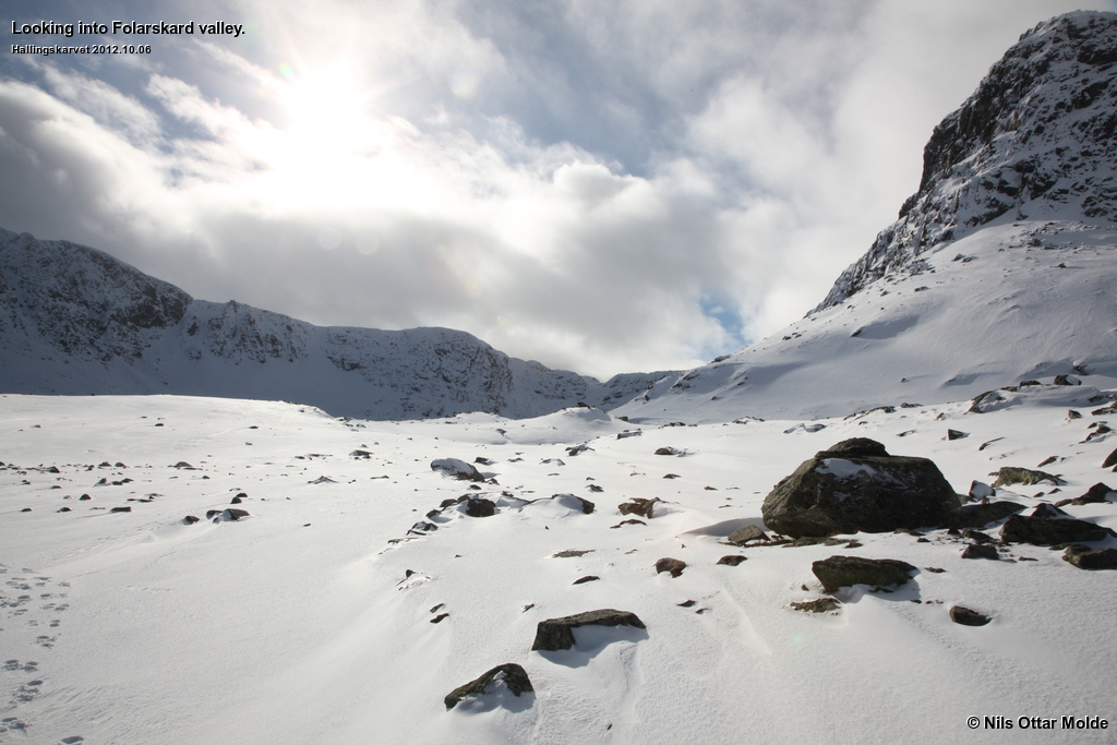
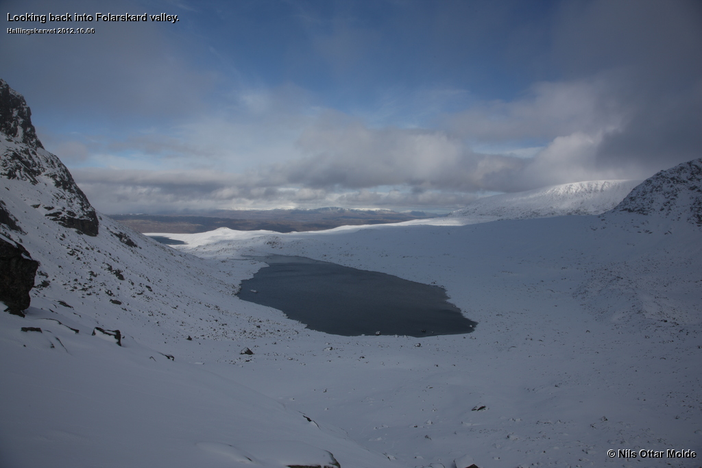
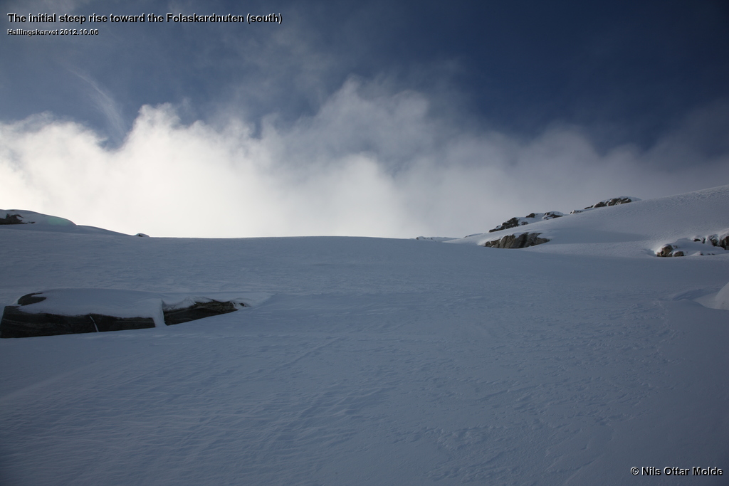
There was a permanent shroud of clouds over the summits to the left and right of Folardskaret, but no snowing. Not many other people were out in the field. We passed 8 - 10 people that turned around not long after the snow started to cover the ground, and in the distance we could see 4 people ahead of us. Soon we were in the Folarskard valley.
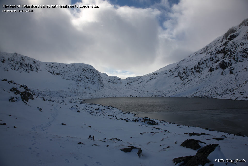
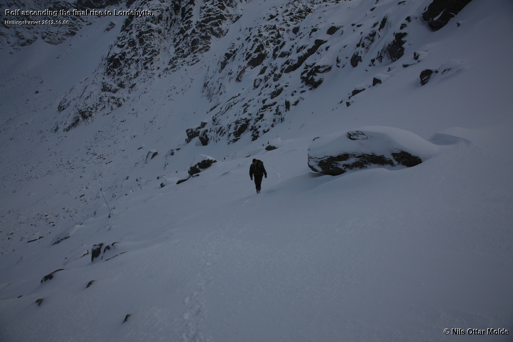
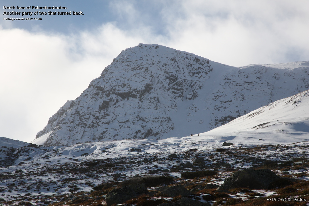
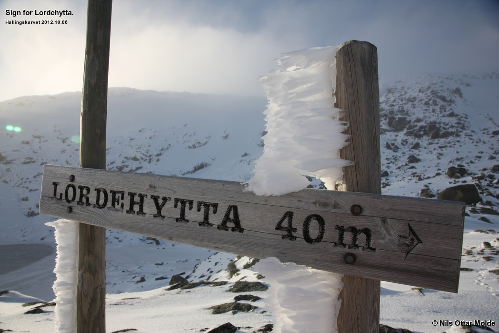
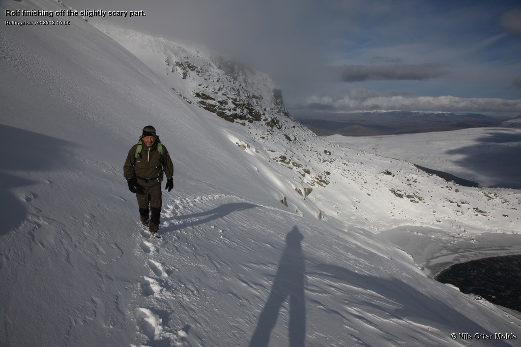
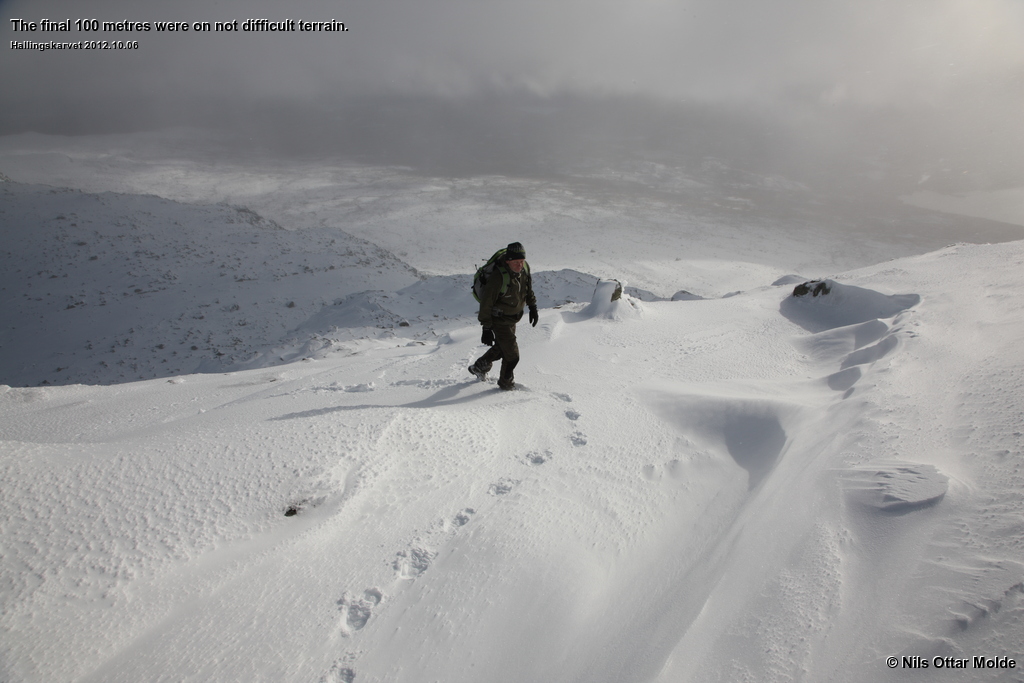
When we came to the final steep climb up to Lordehytten we were sligthly puzzeled to see that the four people that was in the lead had chosen a route to ascend at the extreme right. This did not look like a good option from our point of vew and we decided on a more direct approach, going straight up to the start of the rise and crossing diagonally to the right from there. We had no difficulties at all and half way trough our ascent the other party bit the dust (or rather, snow) and had to turn back. We figured that they would backtrack and follow in our tracks, but they had clearly had their fill of adventure for the day and started on their return journey.
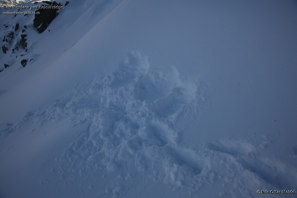
Just below the ridge we paused and had some food and water. Going over the ridge would leave us exposed to the wind so this was the best option for a rest.
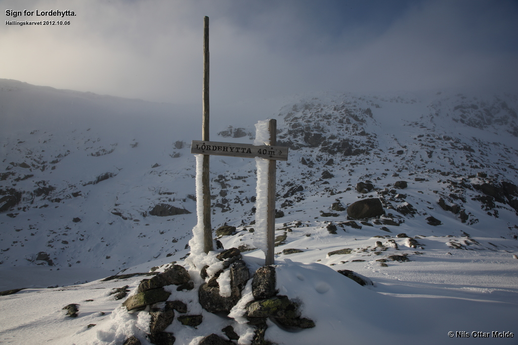
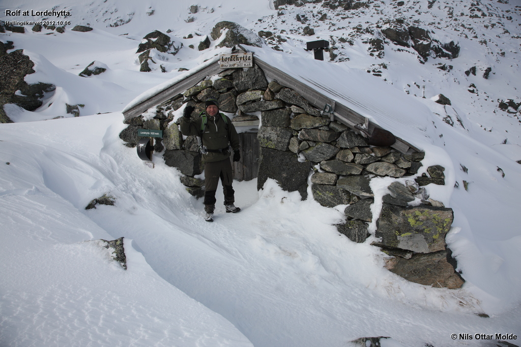
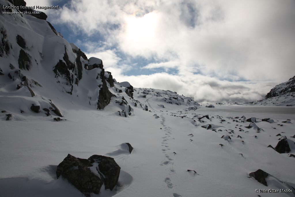
After we had visited Lordehytten (we did not enter the shelter) we debated if we shoud push on to Haugastøl and catch a bus back to Geilo and pick up the car at Raggsteindalen later on. But the dread of the dull part from Hallingskarvet to Haugastøl kept us from taking this route.
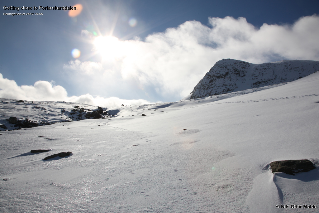
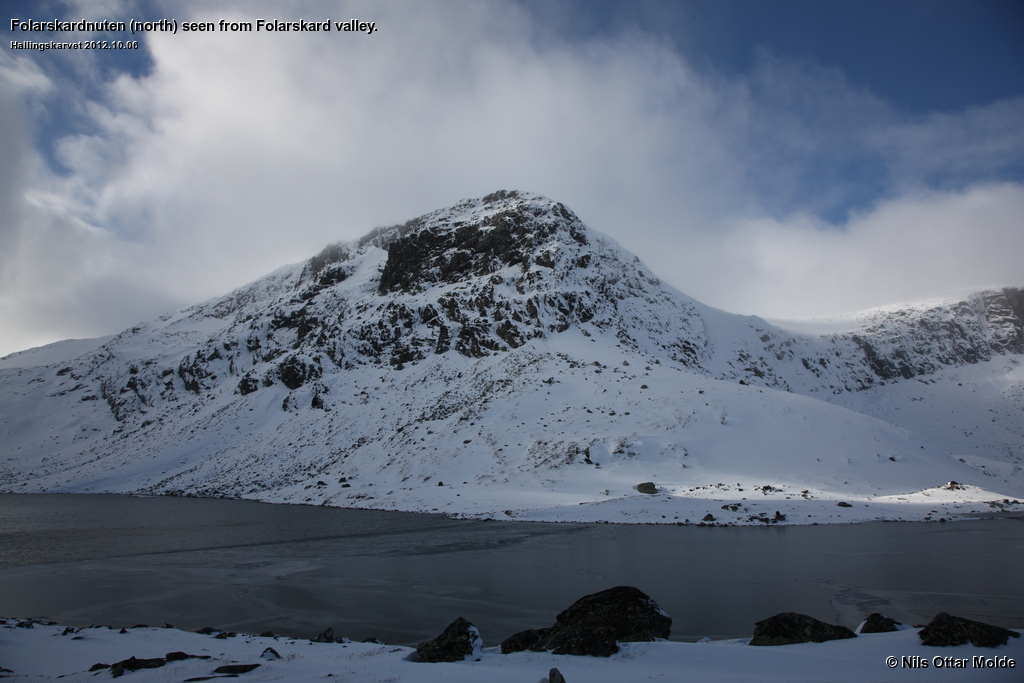
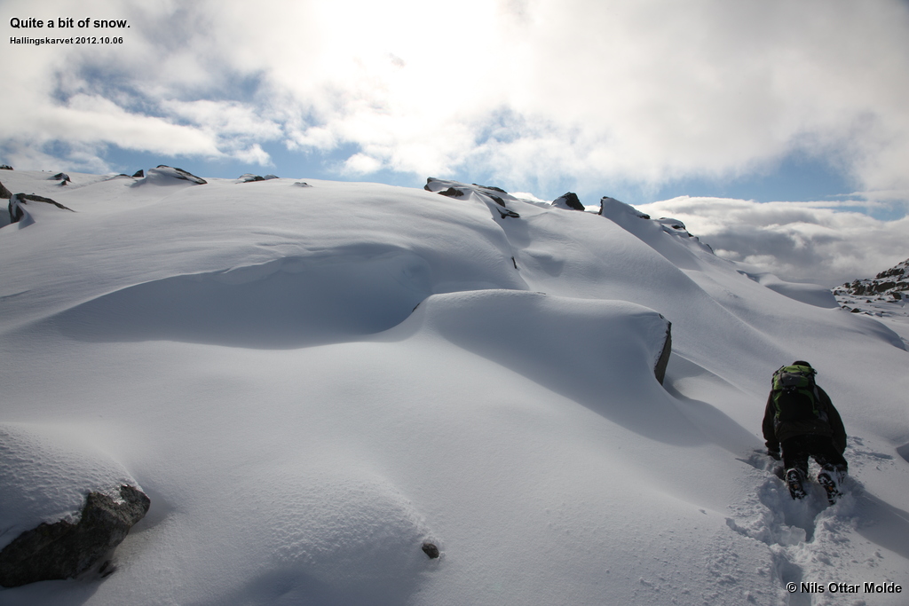
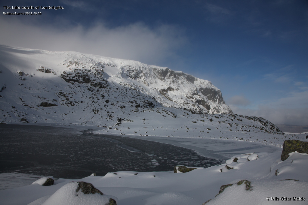
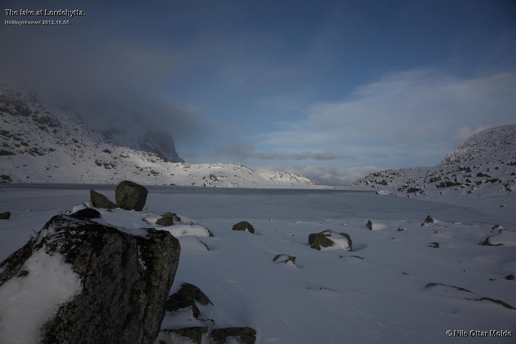
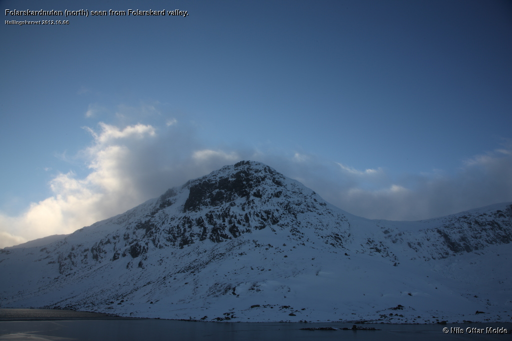
We could see from the pristine snow that we were the first visitors this day. During our stay 4 people came from the Haugastøl side. We went a bit more to the south along the lake and pondered on the possibilities of reaching the Folarskardnuten summit. The weather was easing up. Still plenty of wind, but not so much clouds.
The ascent looked pretty steep from the this side of the lake, but my experience is that when you get closer to the face itself, the possibilites of ascent will look better. So we decided to hike over to see if we could find an angle of attack.
A large, but very steep, patch of snow from last year proved to be our best option and we decided to give it a try. Soon we were over the tricky bit and now all we had to worry about was the descent. So storing that worry into the back of our heads, we pushed on to the summit.
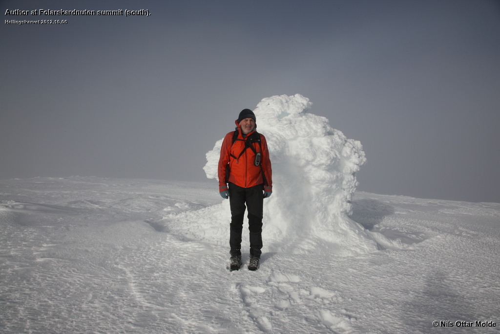
The map we had studied the evening before showed that there were two summits on the plateau we were now getting close to. Both summits were marked at 1.990 msl. As we neared the southmost summit I could clearly see that this could not be correct. According to my GPS the summit would be about 1.935 msl. At the time I tought that the northmost summit would be the higher summit, and started to worry if there were time left in the day to visit that one as well.
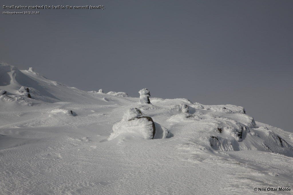
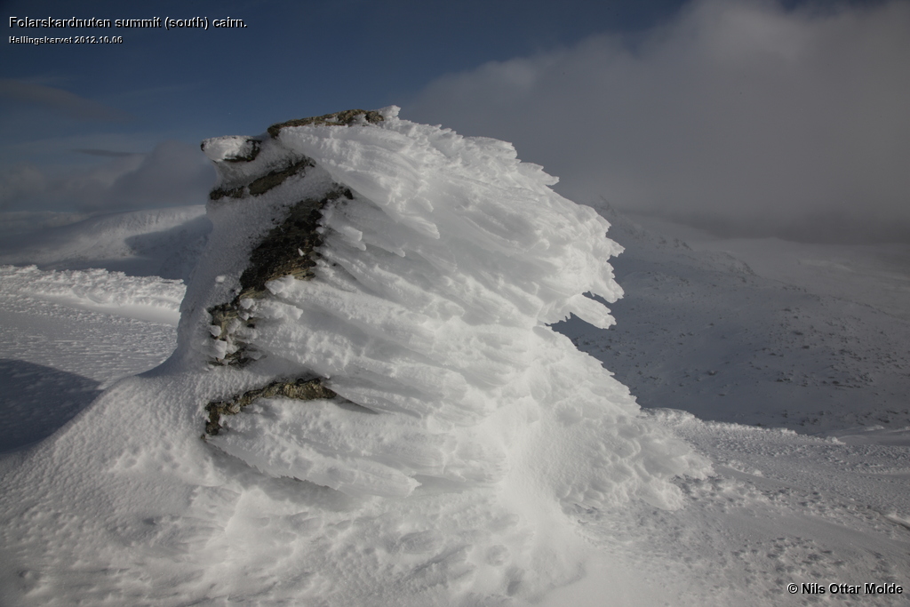
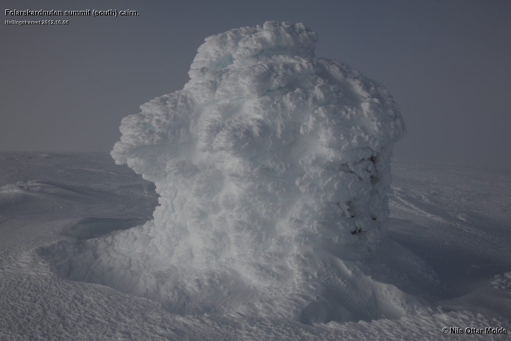
The summit was marked with a huge cairn, and I was a bit puzzeled that the lower summit had been blessed with such a fine marker. No doubt the cairn at the other summit would be formidable.
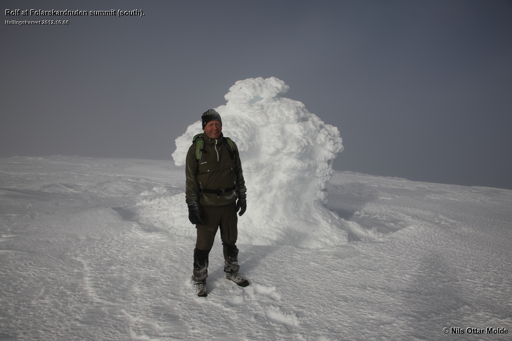
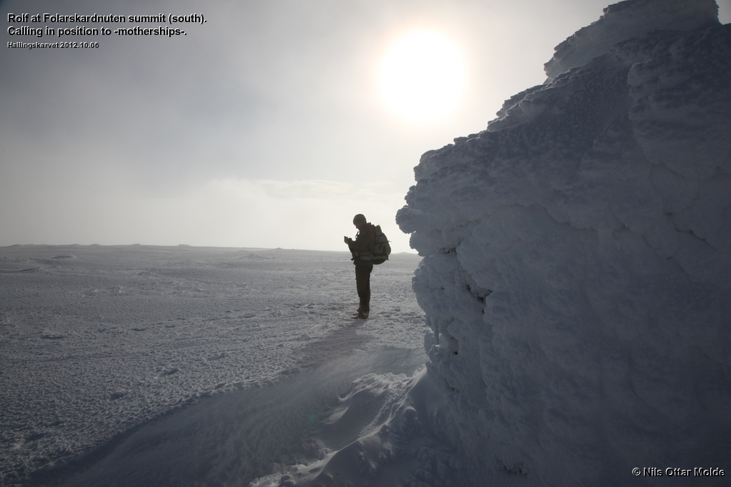
The weater was still holding up, but we could not see the other summit. If we were to go over there we would have to go entirely by GPS. Checking the time told us that we had to think hard about returning should we make it back to the car before dark. We both had headlamps in our rucksacks, but there where other issues at stake as well. Our families expected Rolf to be this evening's chef and prepare the dinner. So in order to not risk the wrath of our wives we chose to start the descent.
I had to bite the bullet and reconcile myself with the fact that I could not get to the highest point of Hallingskarvet massif this time around.
During the descent the weather improved constantly, and at last we got a visual on the northmost summit. But by now we had made a descicion, and it would have been very timeconsuming to gain the altitude that we had lost during the descent so far.
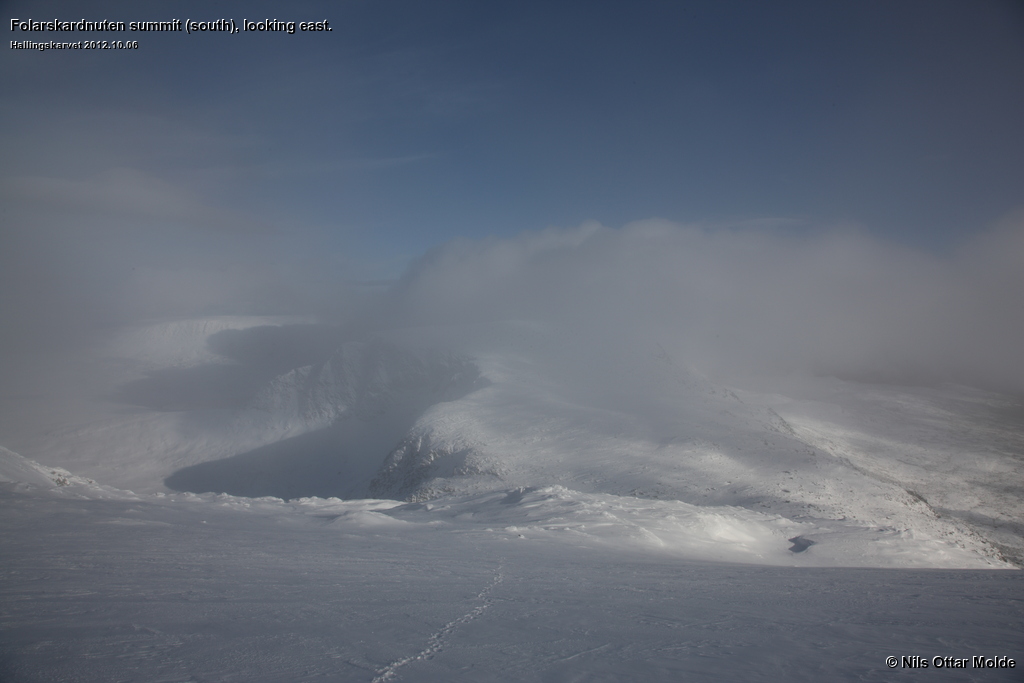
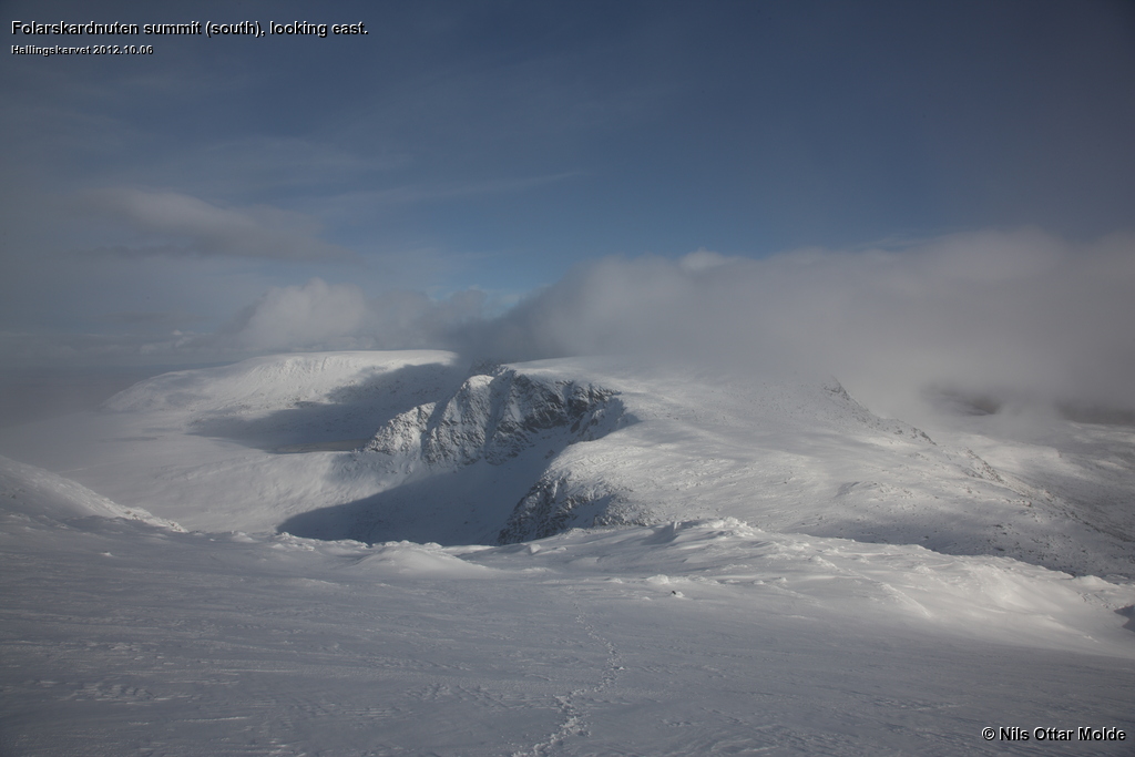
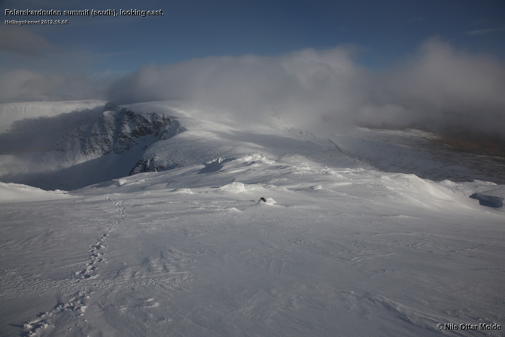
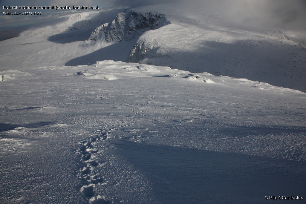
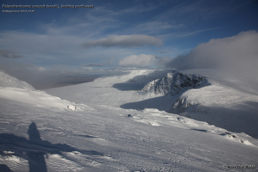
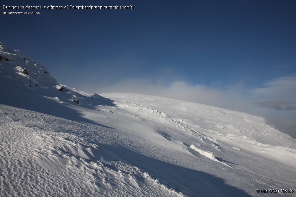
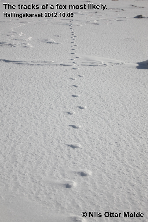
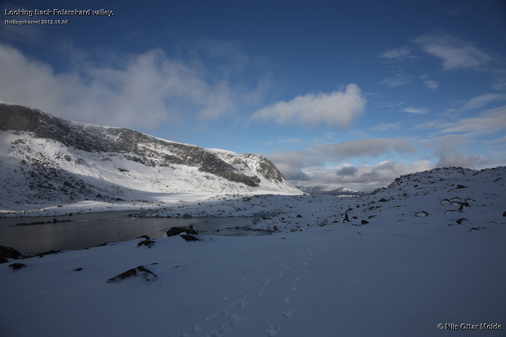
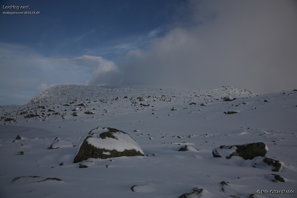
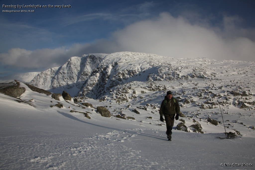
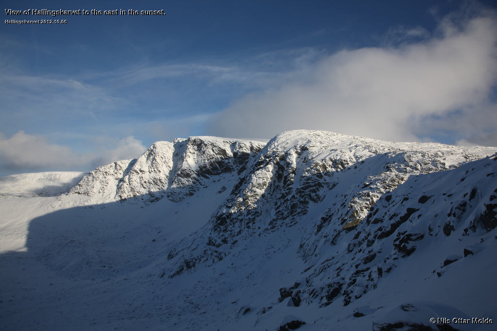
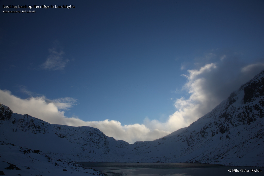
As you can see from the pictures I took on the way back the views were beautiful in the evening sun.
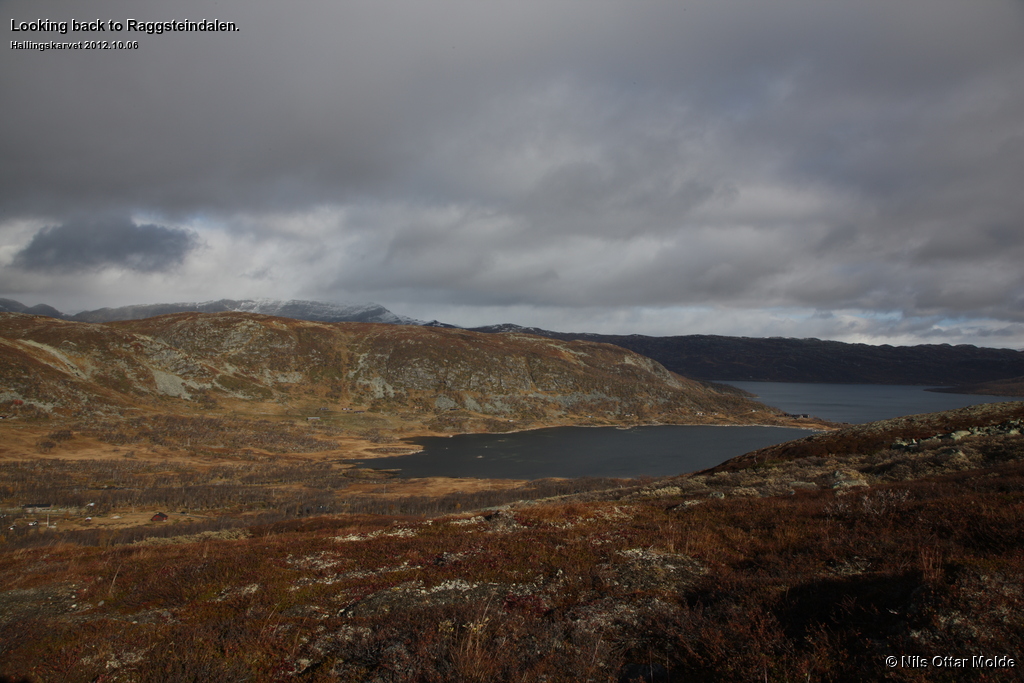
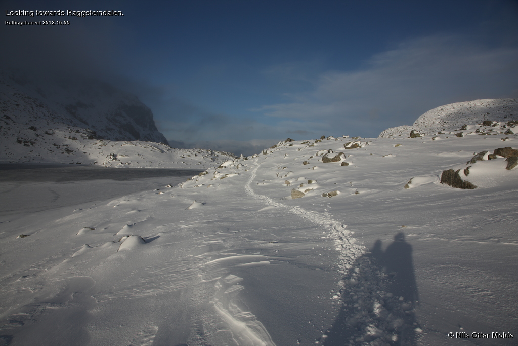
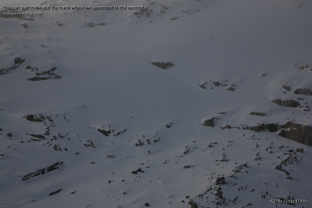
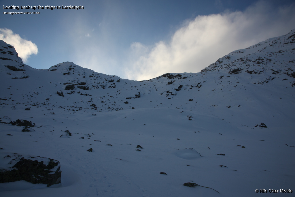
Coming back to Lordehytten and starting over the ridge we could see that the track we had made coming up had not been used by other people, so we were the only party to reach Lordehytten from Raggsteindalen that day.
It turned out that our arrival back to the car was in the nick of time. After we had changed out of the sweaty clothes and changed footwear it was nearly pitch dark.
A welcome conclusion
When I returned home on monday I Internetted into www.ut.no in order to study the map of Hallingskarvet in detail. I was still worrying about the height of the summits on the Folarskardnuten plateau. There it showed that the southmost summit, where Rolf and I had been, were indeed 1.933 msl. And the northmost summit that we only had glimpsed during the descent was 1.930 msl.
Turned out that we had conquered the high point after all!
Trivia/Reference
Photos marked with Nils Ottar Molde is taken with a Canon EOS-1 Ds Mark III camera, using a Canon EF 24-105mm L IS USM lens.
Here is how the GPS readings I collected during the trip is rendered in Google Earth.
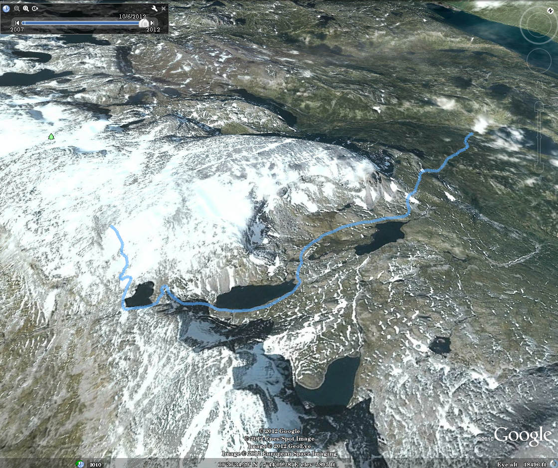
And below is the kml format of the route. Using the GPSBabel software, you could probably convert it to fit into your own GPS device.
This file can also be applied directly into Google Earth so you can view the route from many different angles and altitudes.