Content
The trip
A word of caution. The track below is not recommended at all. The terrain is rather unforgiving and if you do stray from the path you are in for quite some painful hiking.
We had been into town in order to get some maps, and after we left the trourist information we could hear the personell crying after us "do not leave the trail" for a long time. Little did we know that this was good advice indeed.
When we started out for the top we somehow rather early managed to loose the trail. We had visual contact with the summit at all times and reconed this would be an easy trip. But ... this was not to be.
The terrain was heavy eroded rocks that made for no easy footing. The bushes that grew erraticly turned out to be of very hard indeed to negotiate so we had to do a lot of zig zag between them. Also gigantic spiders had set up their nets in all the passages between the bushes and were residing in the middle of the nets.
We spend a ridiculous amount of time getting almost nowhere and we now fully understood the warnings from the touris office personell.
So I strongly advice : Keep to the trails in these surroundings.
Trivia/Reference
Muncipality of Peljesac.
Here is how the GPS readings we collected during the trip is rendered in Google Earth.
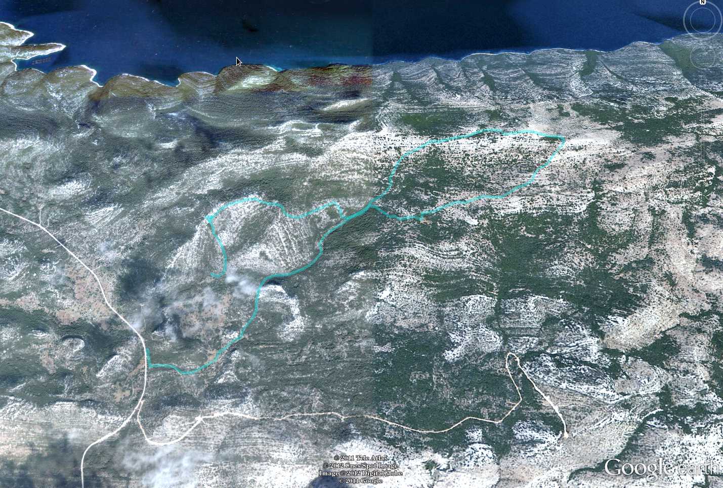
And below is the kml format of the route. Using the GPSBabel software, you could probably convert it to fit into your own GPS device.
This file can also be applied directly into Google Earth so you can view the route from many different angles and altitudes.
Download kml file for Pelinovjak.