Content
Images
Trivia/Reference
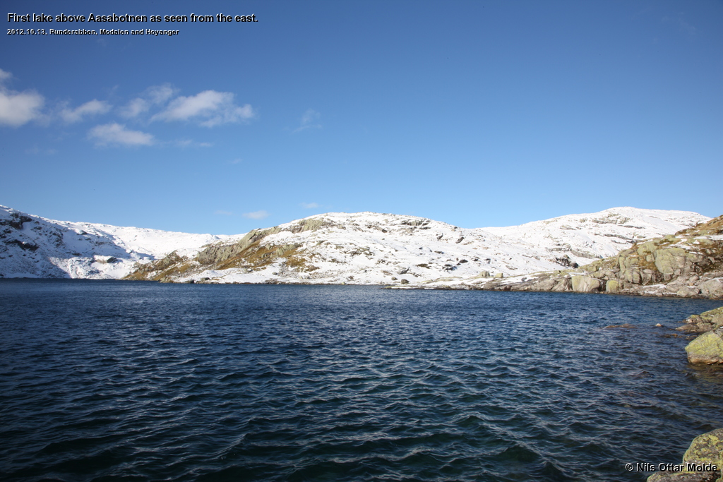
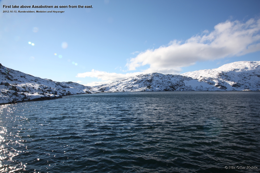
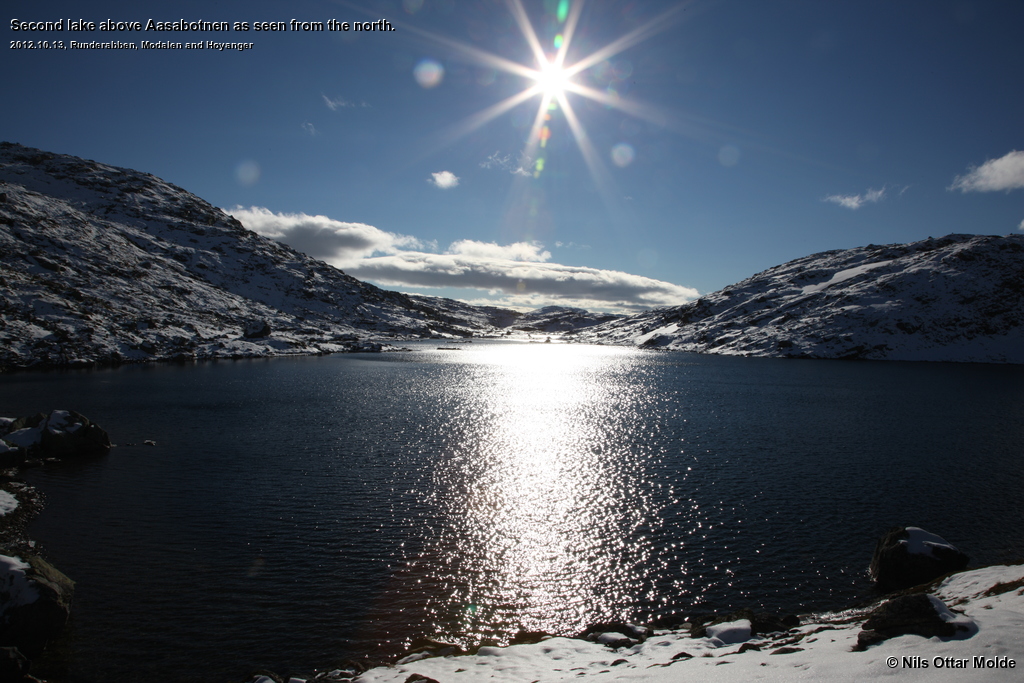
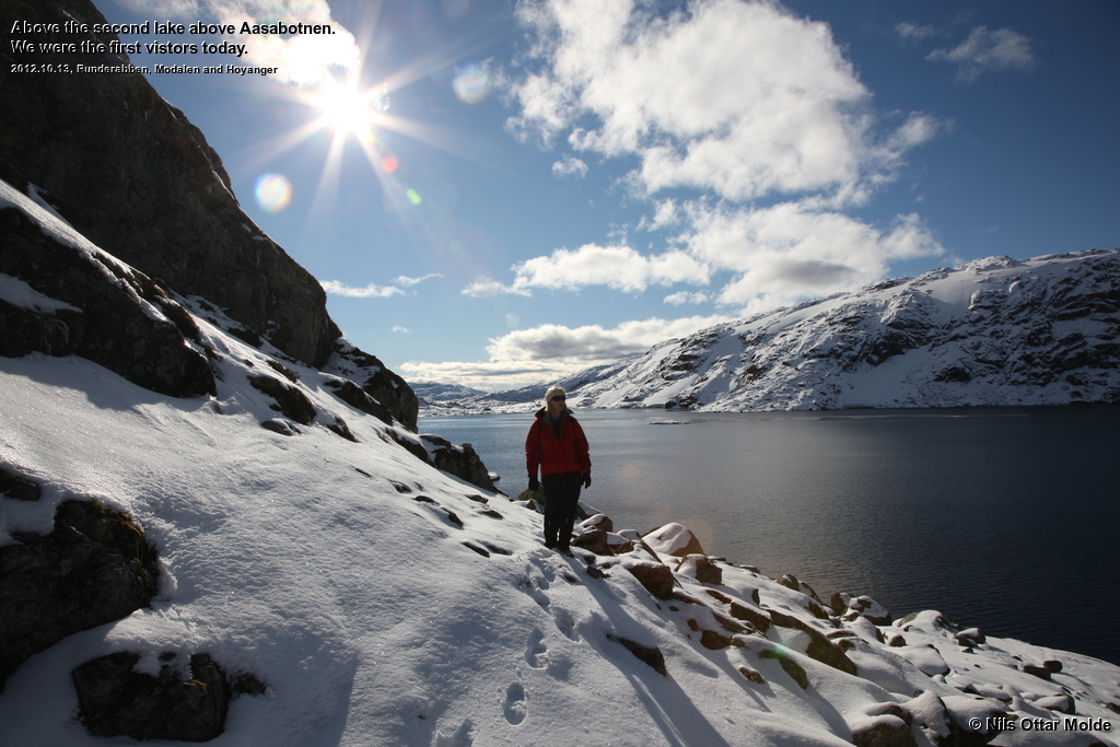
Muncipality of Modalen  and Høyanger
  .
.
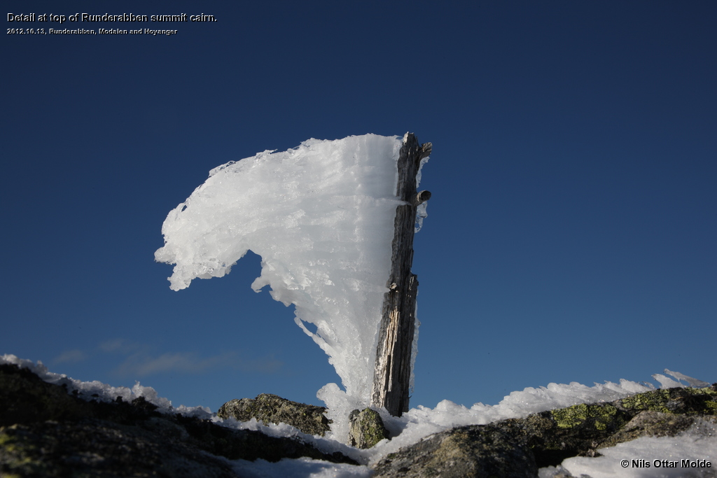
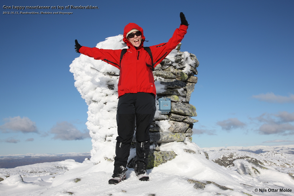
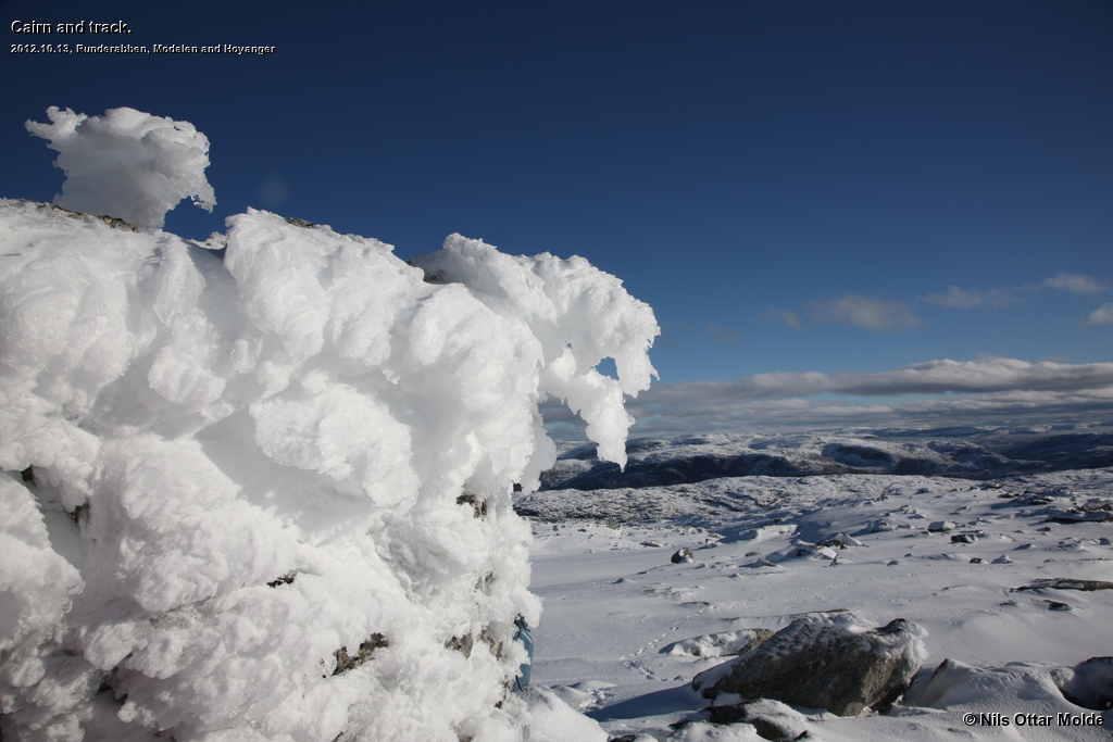
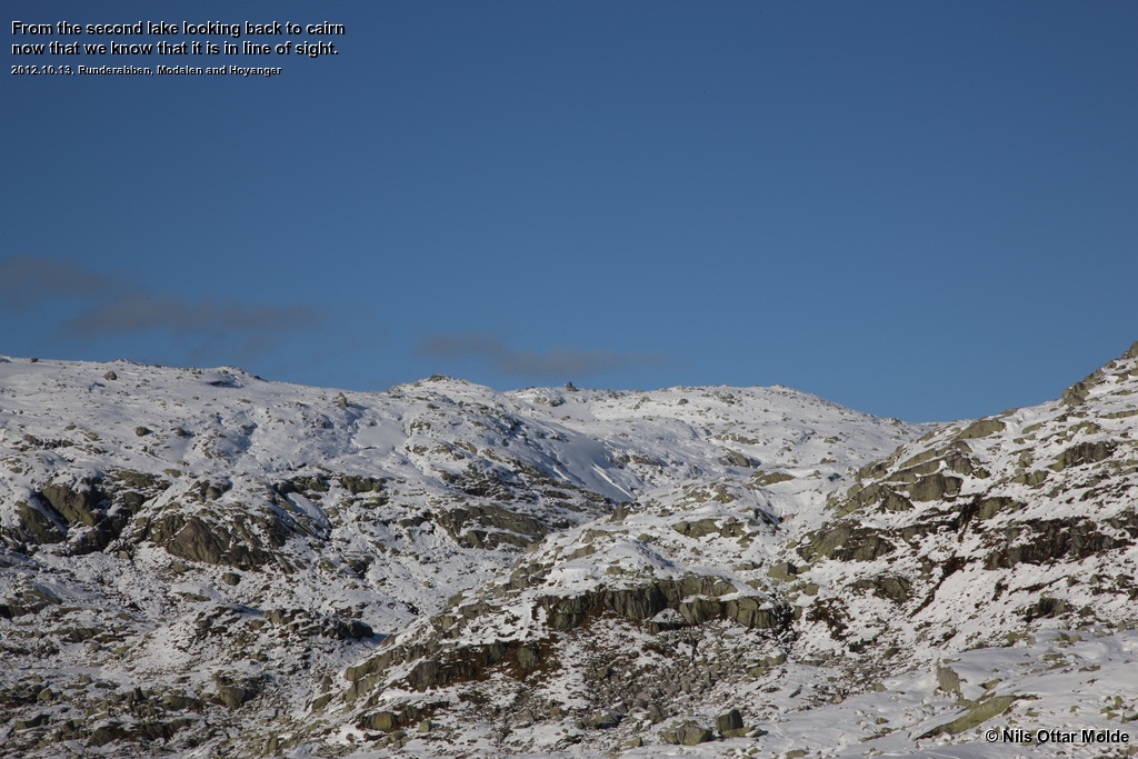
Photos marked with Nils Ottar Molde is taken with a Canon EOS-1 Ds Mark III camera, using a Canon EF 24-105mm L IS USM lens.
Here is how the GPS readings we collected during the trip is rendered in Google Earth.
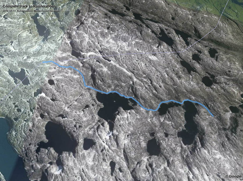
And below is the kml format of the route. Using the GPSBabel software, you could probably convert it to fit into your own GPS device.
This file can also be applied directly into Google Earth so you can view the route from many different angles and altitudes.
Download kml file for Runderabben.