Content
Preparation
See this page for information about the preparations for the trip to Guatemala.
To the mountain
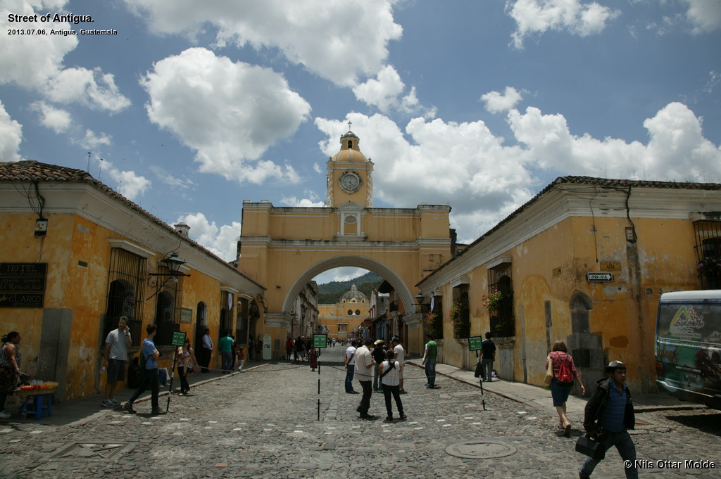
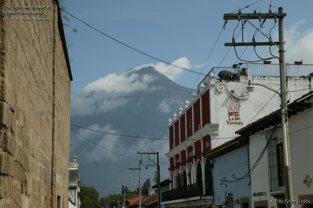
We had arrived in Antigua the 6th of July and the hostel we had booked rooms in was a 2 minutes walk from the city centre. We had visited the office for Adrenalinatours in order to get the details for the next day and pay the remainder of the fee for their services. We would be picked up at the hostel at 04:00 in the morning for a 1.5 hour ride to the starting point of the trek. We had been warned that this trek would be harder than the Tajumulco trek we had done two days earlier. Here we would start at 2.400 msl giving a height of 1.600 metres to ascend in steeper terrain.
What turned out as a sorry situation for Lennart was that he had developed a case of podagra during the night before our travel to Antigua and although he had taken medication, he was in no shape to go mountaineering. That left me as sole member of the expedition. Adrenealinatours had a minimum cost for a tour that would equal the cost for 4 participants, so I had to pay the sum we had agreed in full even if Lennart could not come along, and that was fair enough. I asked if the guide would speak english, and the Adrenalinatour representative was vague in his answer so I took that for a no. I do not speak spanish, and the Guatemaleans are not very good in english. Lennart mastered the basics of spanish and had been a huge help so far. But tomorrow I would have to brave it alone ...
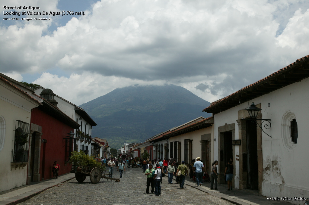
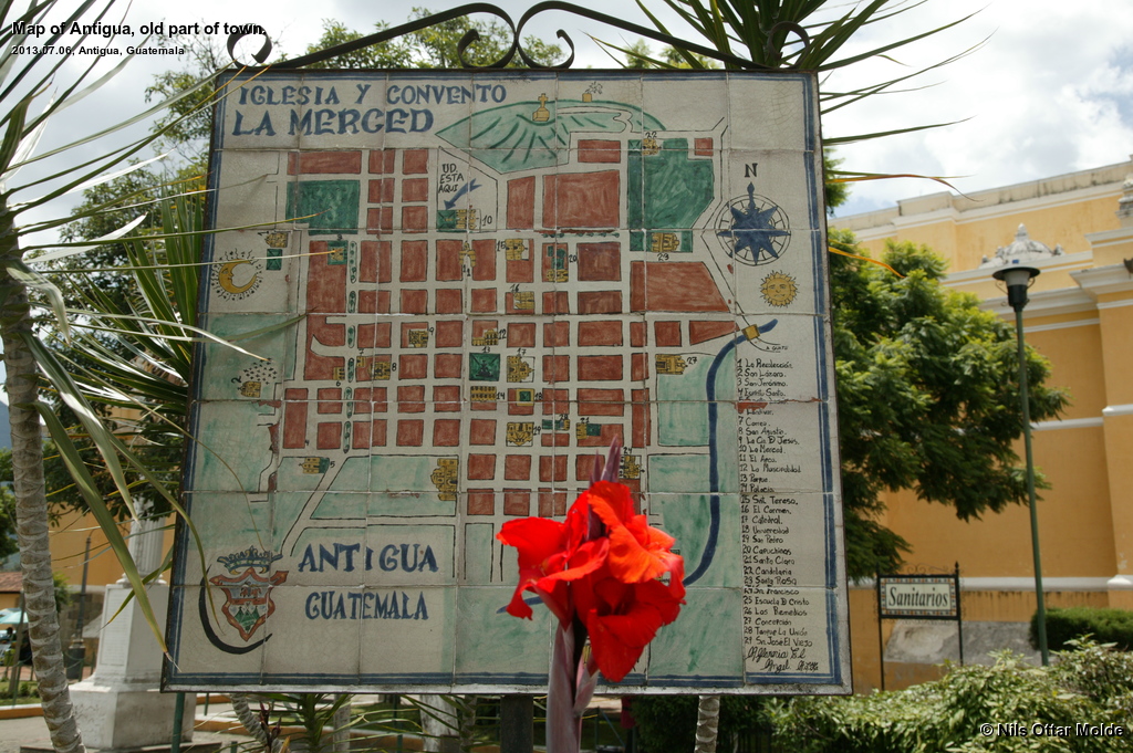
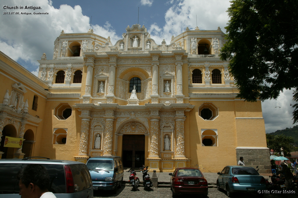
We used the rest of the day to explore the sights in Antigua, had dinner, and went to bed early as the start time was very early. Lennart would spend the next day as a tourist in Antigua as well. As usual it was nice weather in the morning but heavy rains and thunderstorms in the evening. A small surprise came our way when it turned out that the basement of the hostel was a disco and it was saturday and the music was going full blast. I was so tired that I luckily fell into sleep with no trouble at all.
At 03:30 I rose from the bed and got dressed and prepared my backpack. This time I skipped the wool jumper and used just a technical t-shirt. The same amount of water, Coca Cola and chocholates as the presvious trip was included. At 04:05 the driver came along the hotel in a shuttle bus type of car (Think of a Toyota Hiace). To my surprise he spoke rather good english so we had no problems communicating during the drive.
I could see a sprinkling of stars in the sky so I hoped for nice weather in the morning. It was pitch dark during most of the ride and as we neared the base of the mountain, patches of heavy fog. The road soon went from asphalt to gravel and turned out to be in a awful state. At some points I was pretty sure that we would not manage to come through as the wheels spun in the wet and slippery mud. But the driver knew the tricks and we bumped along. A 4-wheel drive type of car would be preferable to negotiate this kind of road.
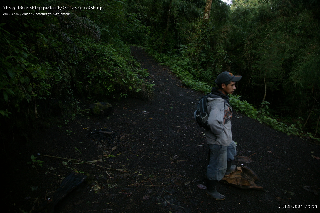
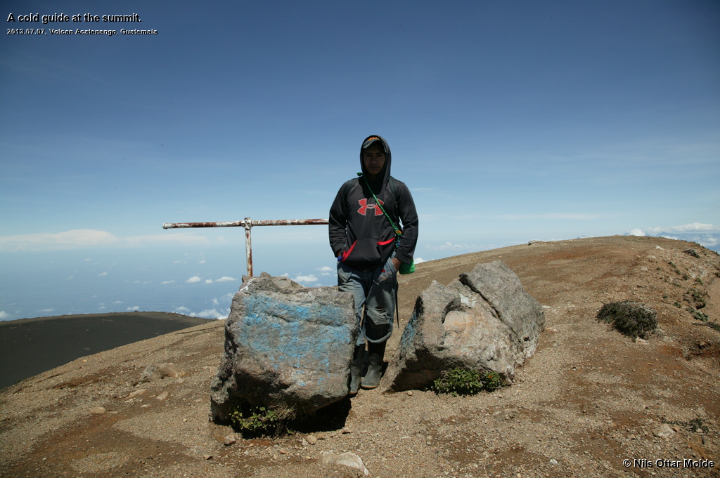
When we approached the starting point the driver revealed that he was not the guide to the mountain, but that a local villager would take me up. Then I understood why the english speaking issue was dodged at the office the previous day. A man of about my age was waiting by the starting point when we arrived. He was a guide, but had trouble with a foot (he was limping) so his son would take the guide part instead. He obviously had to be awakened and I waited for about 15 minutes before a young boy appeared, and just as I thought, he could not speak a word of english.
On the mountain
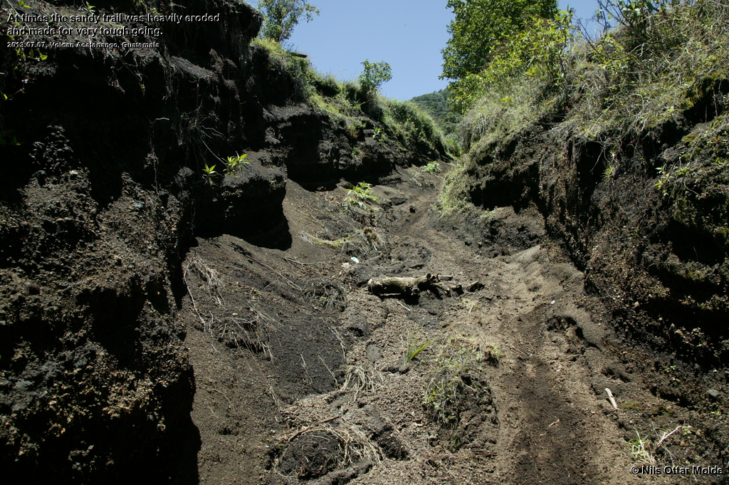
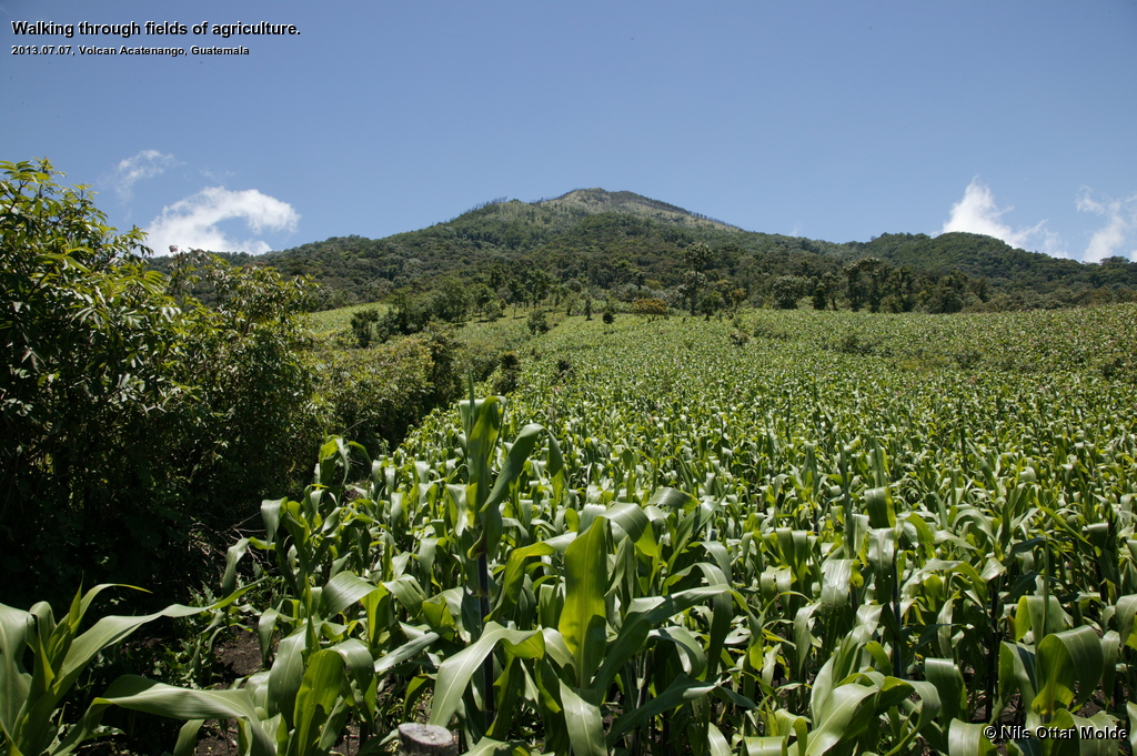
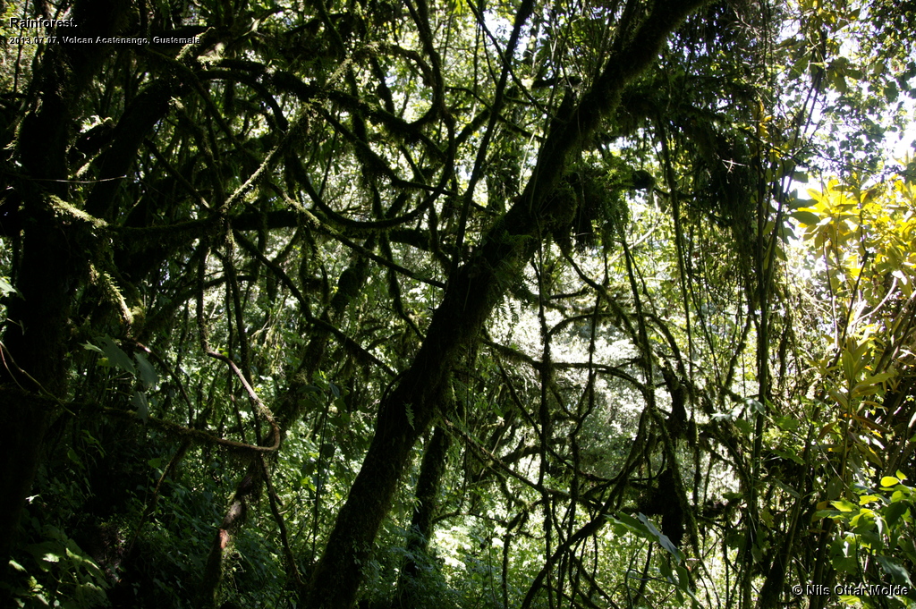
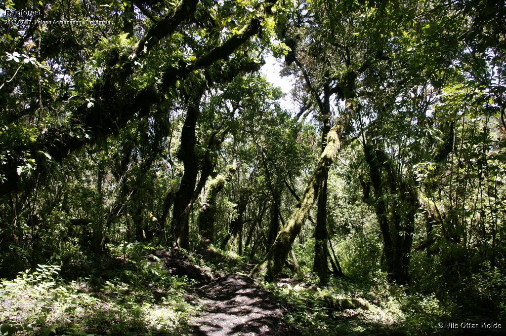
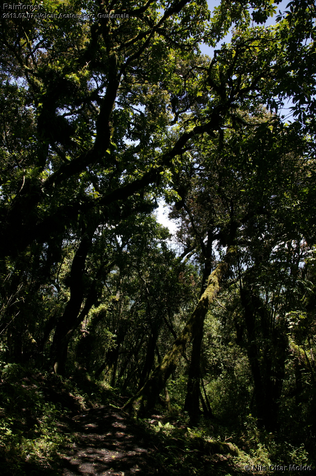
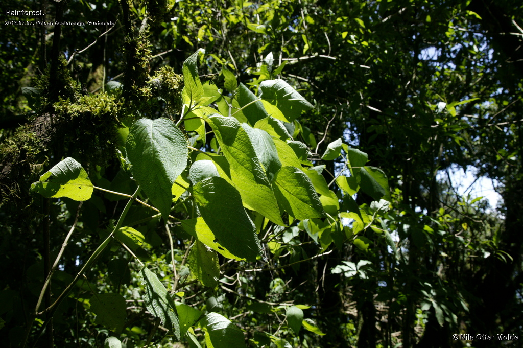
Now the time was getting close to 06:00 and the dawn was upon us so there was enough light to start the walk without the aid of headlamps. So off we went. It was still so dark that most of the pictures from below the rainforest is from the descent. This time I set a slow pace immediately. And I soon got to know another aspect of why this trek is considered harder than the trek to Tajumulco; The surface of the trail was loose sand. It was like walking in loose snow, the feet always slipping with each step. I anticipated 1600 metres of ascent with this underfoot with dread.
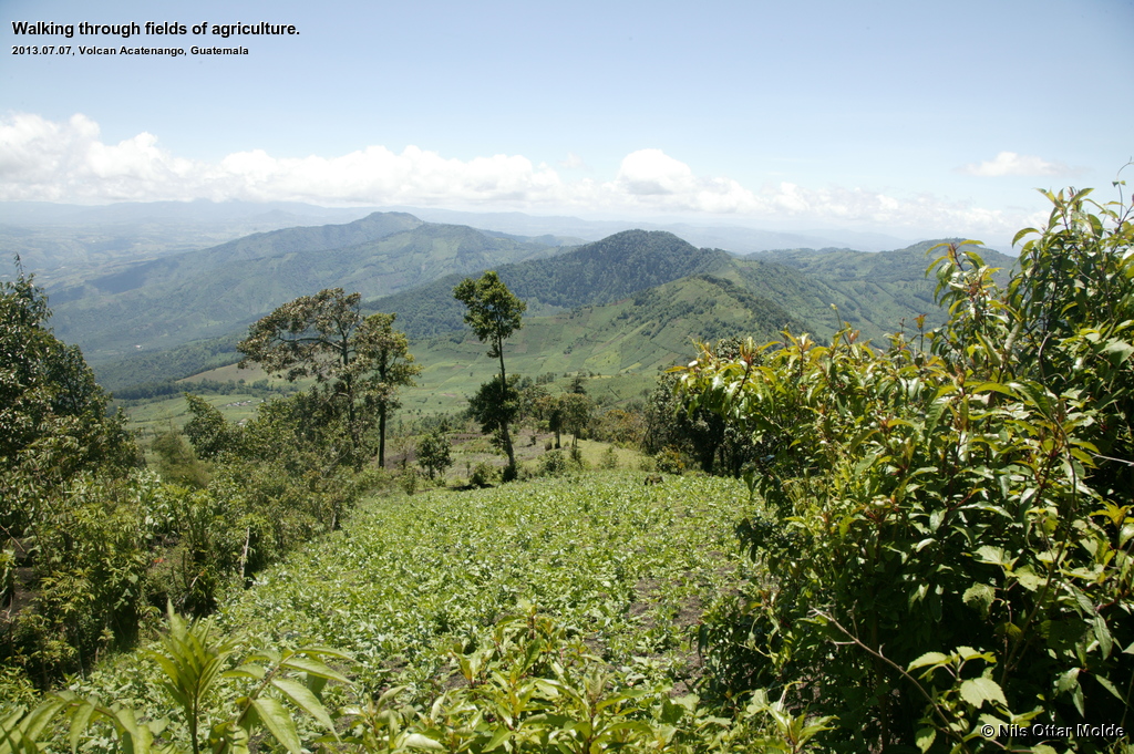
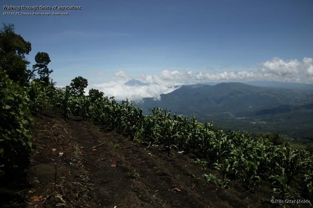
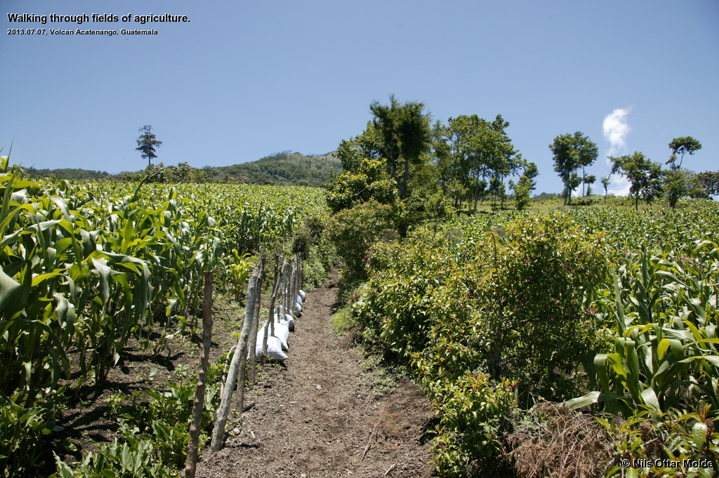
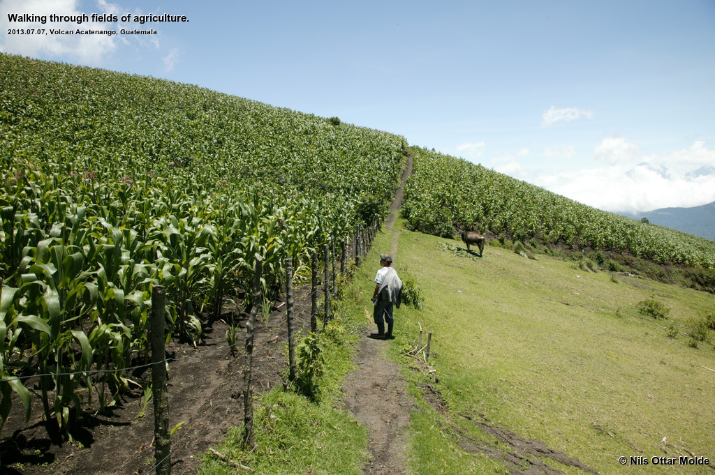
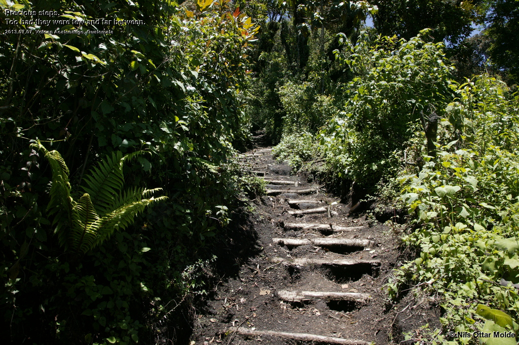
The first part of the trek ascended through fields of agriculture and the rains had helped to make the trail a deep rift. Some places there had been made some effort to make steps in the trail, but my guess is that it was for less than 100 metres accumulated.
Because of the slow pace I did not feel the lack of oxygen at all this day. Of course by now my body would also be better prepared due to the time spent in the heights.
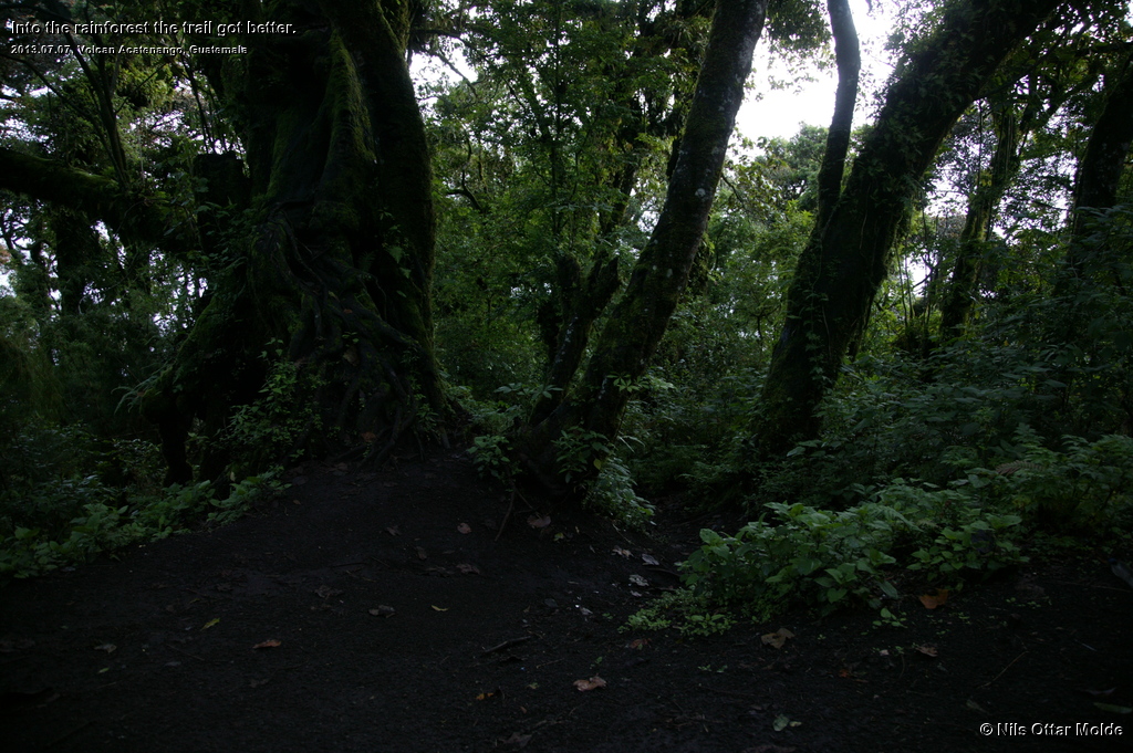
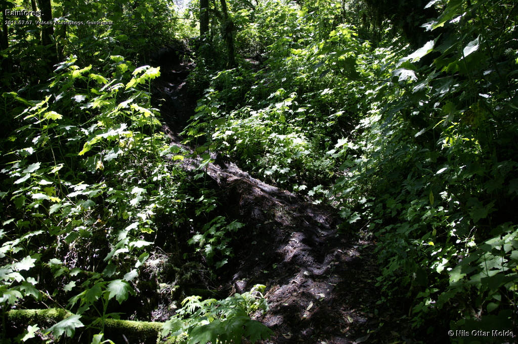
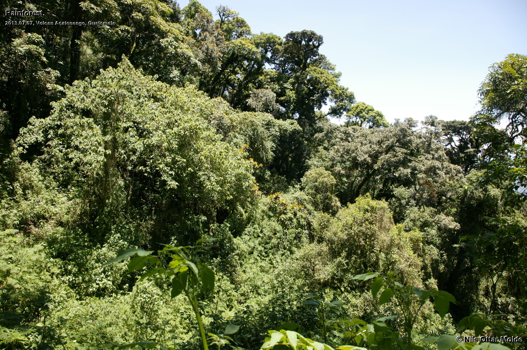
After a time we entered the jungle and luckily the trail turned out to be more firm. The vegetation managed to make the top layer of the soil compact, and the going got significantly easier. The guide probably wondered why I went so slow, but I surprised him by not taking long rests. At regular intervals there were natural resting spots where he would stop and wait for me. After a quick drink of Coca Cola and water I would surprise him with a question of "vamos?" and we were off again. I'm not a very fast walker, but I do not like to take long breaks, preferring to drink and eat on the go. In this manner I can go for long periods of time.
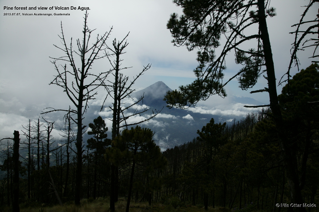
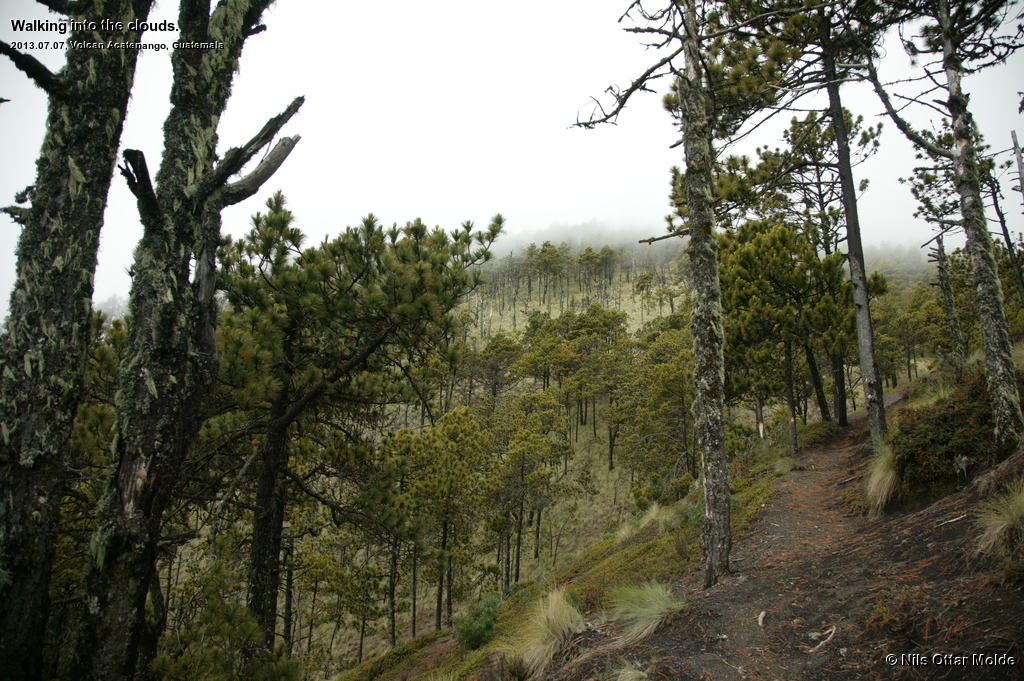
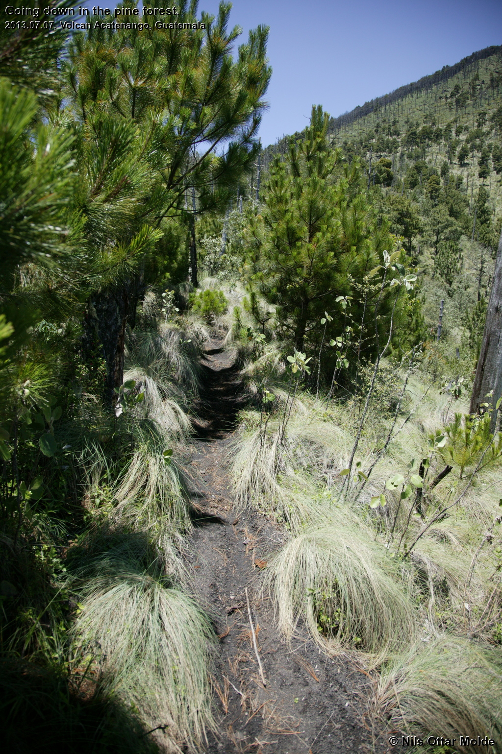
Emerging from the jungle we entered a part of the mountain covered with pines and grass and the trail began to revert to loose sand again. Now we passed through a place where two-day trekkers would camp before their push to the summit, and not long after this we overtook a group of 5 people that had started from this place earlier in the day. Even with my pace we soon put them behind us. Good to see that I was not the slowest walker on the mountain.
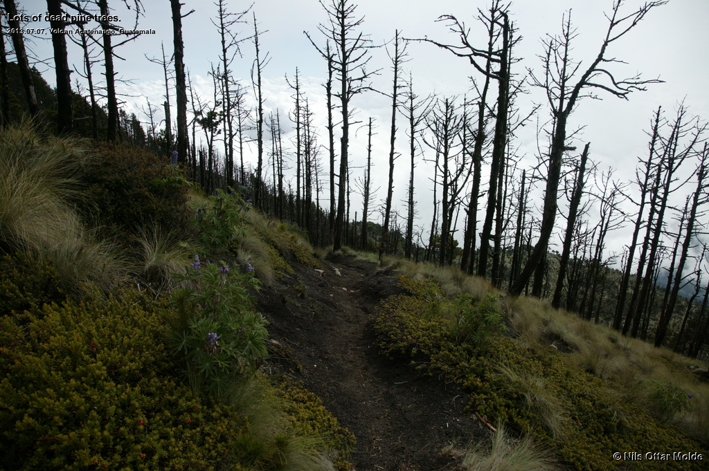
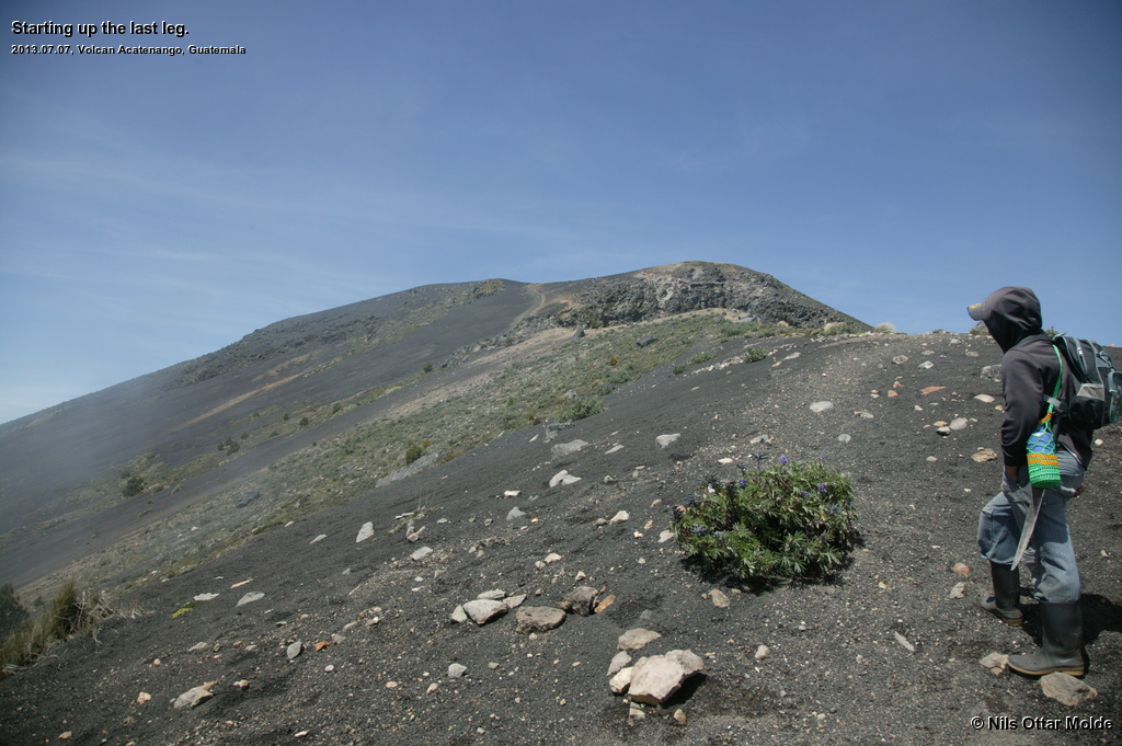
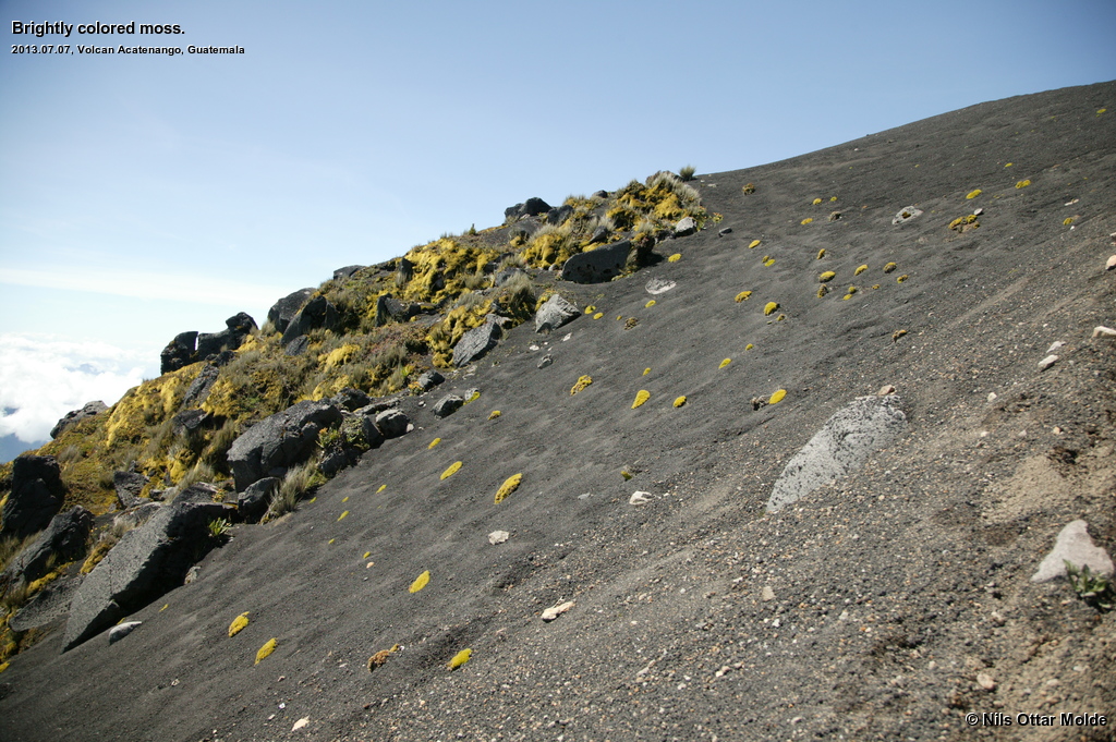
As we neared the summit the trees became less frequent and smaller of stature, the grass giving way to bright patches of moss. We also met about 20 people coming down from the mountain. They had probably started up early from the campsite so that they could witness the sunrise from the summit.
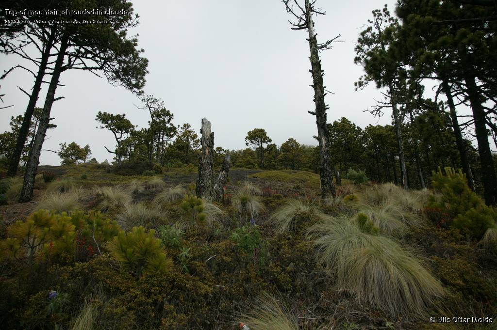
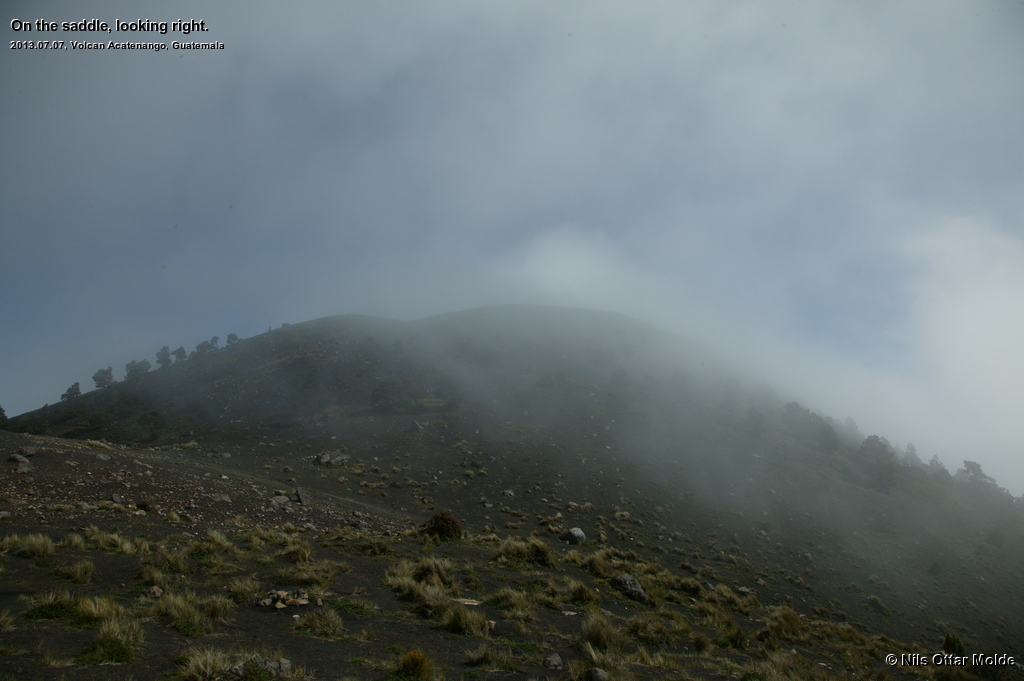
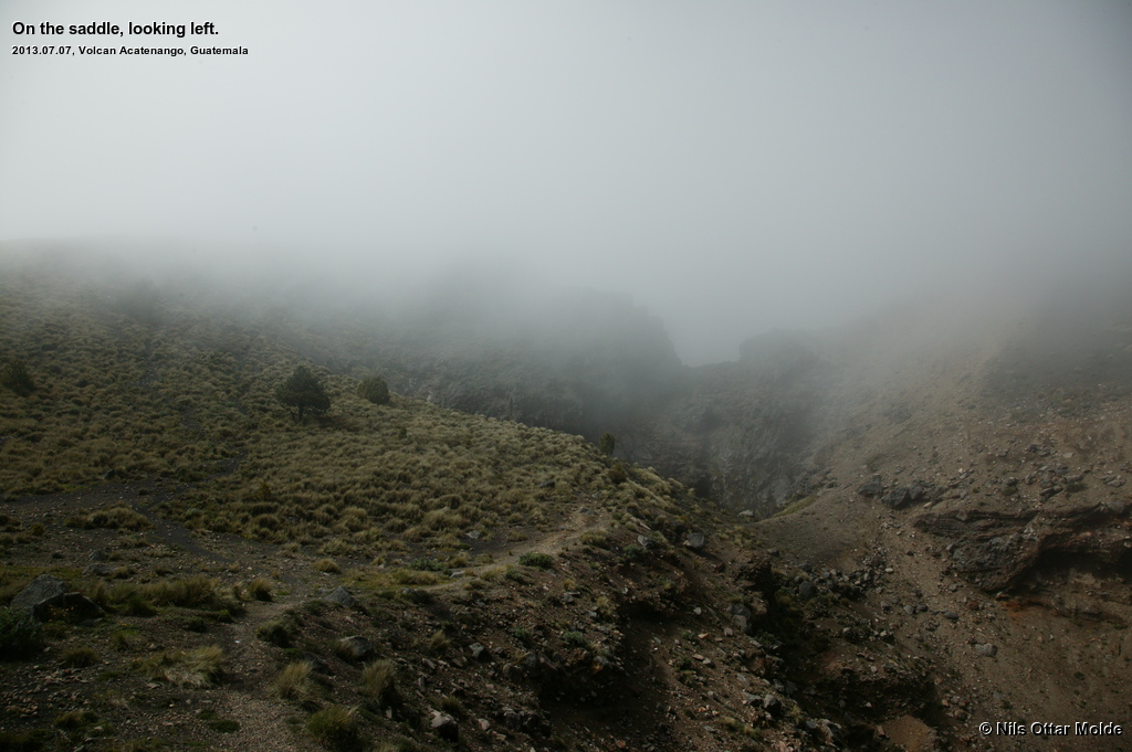
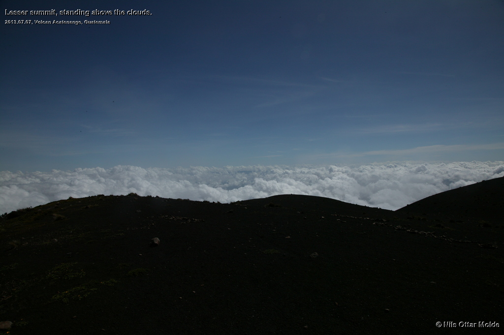
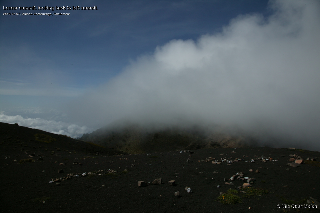
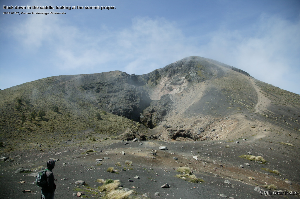
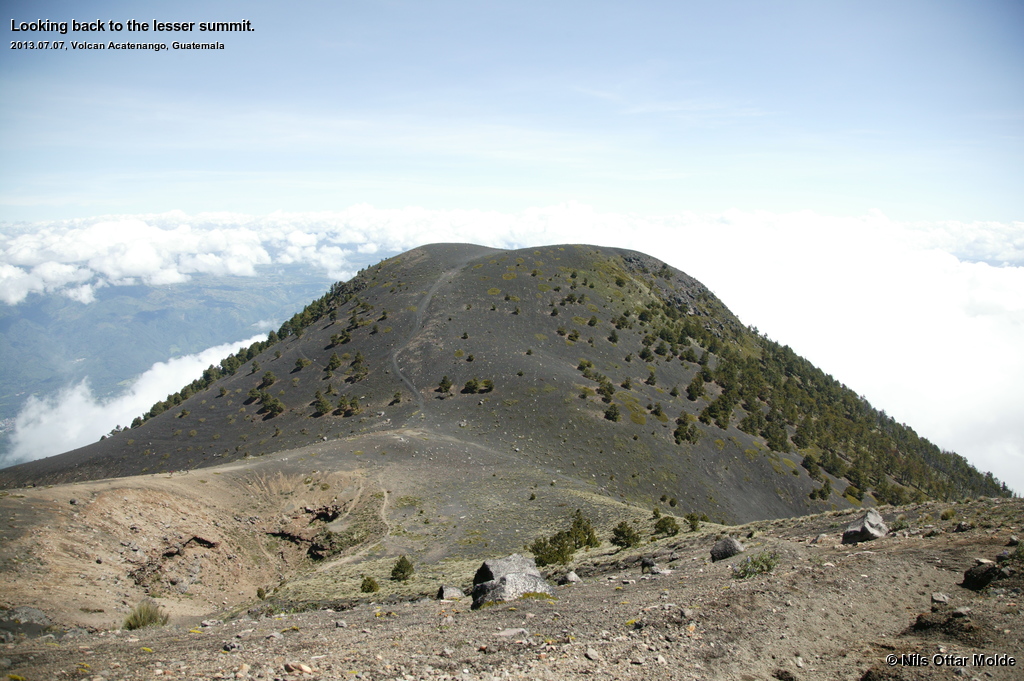
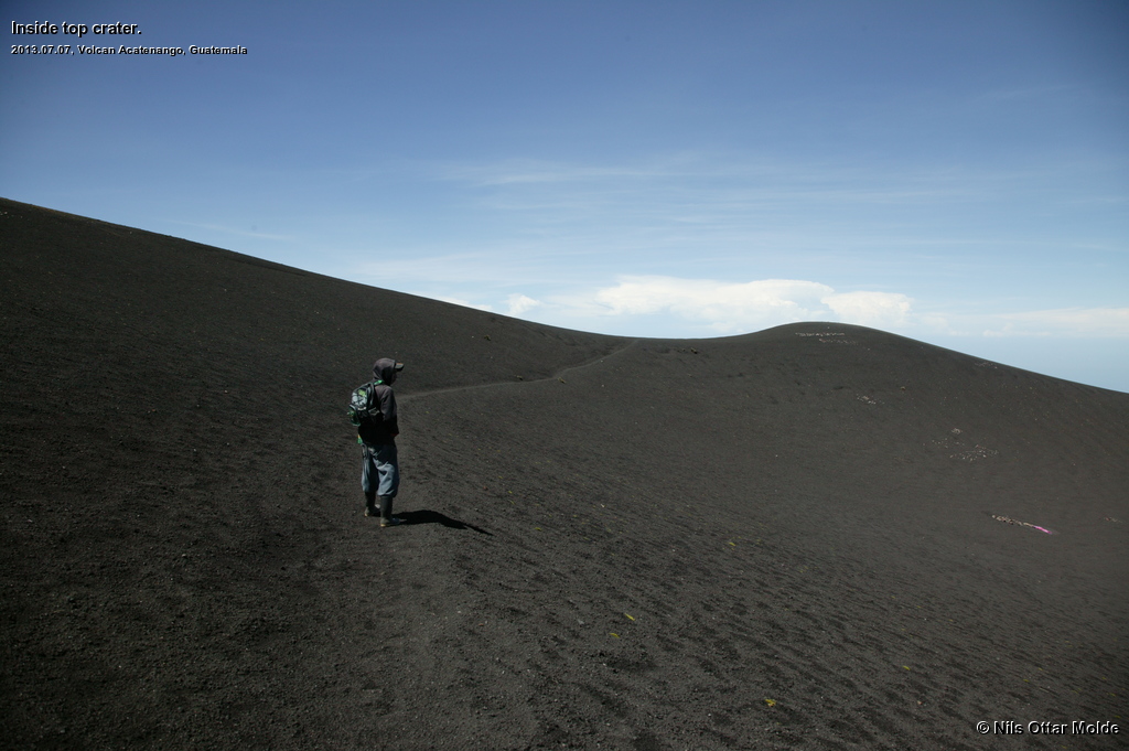
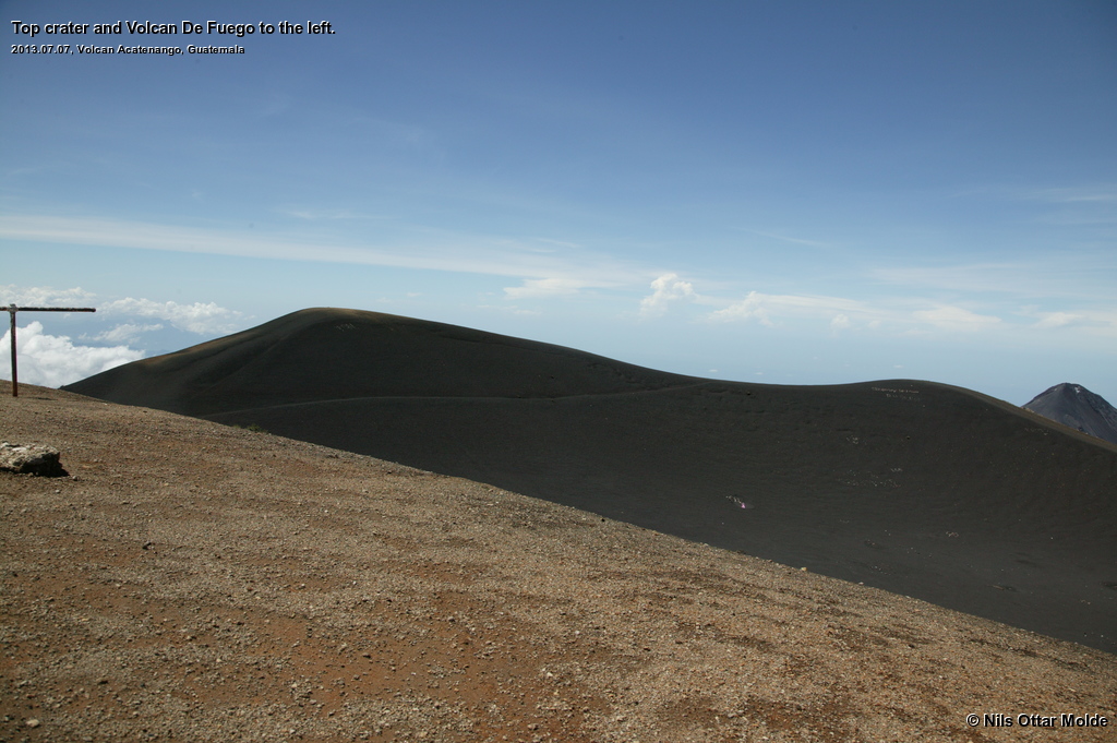
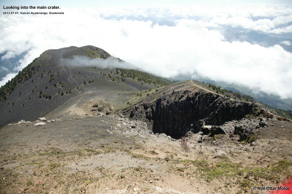
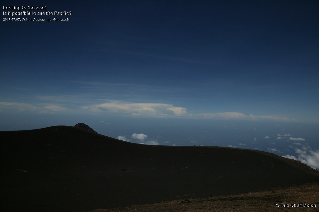
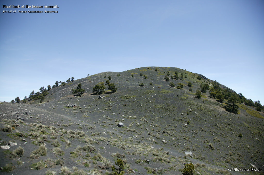
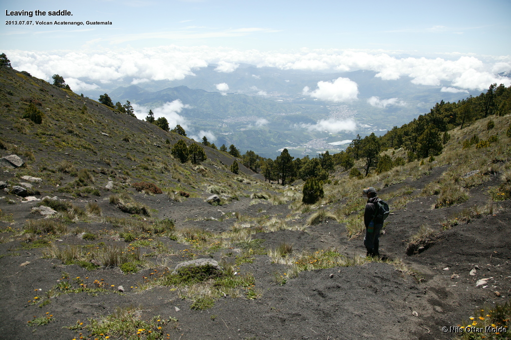
A strong wind was blowing and the summit was engulfed in clouds so that when there were 300 metres left to the summit the visibility was very variable. We arrived in a saddle and I could see that the rise to the left looked significantly higher that the rise to the right. Now the guide did his best to confuse me as he pointed to the right and said "Acatenango" and to the left and said "Del Fuego". He also indicated that we should go to the left. Hmmm... The left surely looked potentially higher that the right, but I was to climb to the top of Acatenango so I insisted on going to the right. As we started up to the right the clouds started to lift and I could clearly see that the top to the left were much higher (probably 200 metres). Anyway, I'll go up there afterwards so I continued up to the rightmost summit just to have been there. At the time I thought that this was the top of Acatenango and that the left summit had another name.
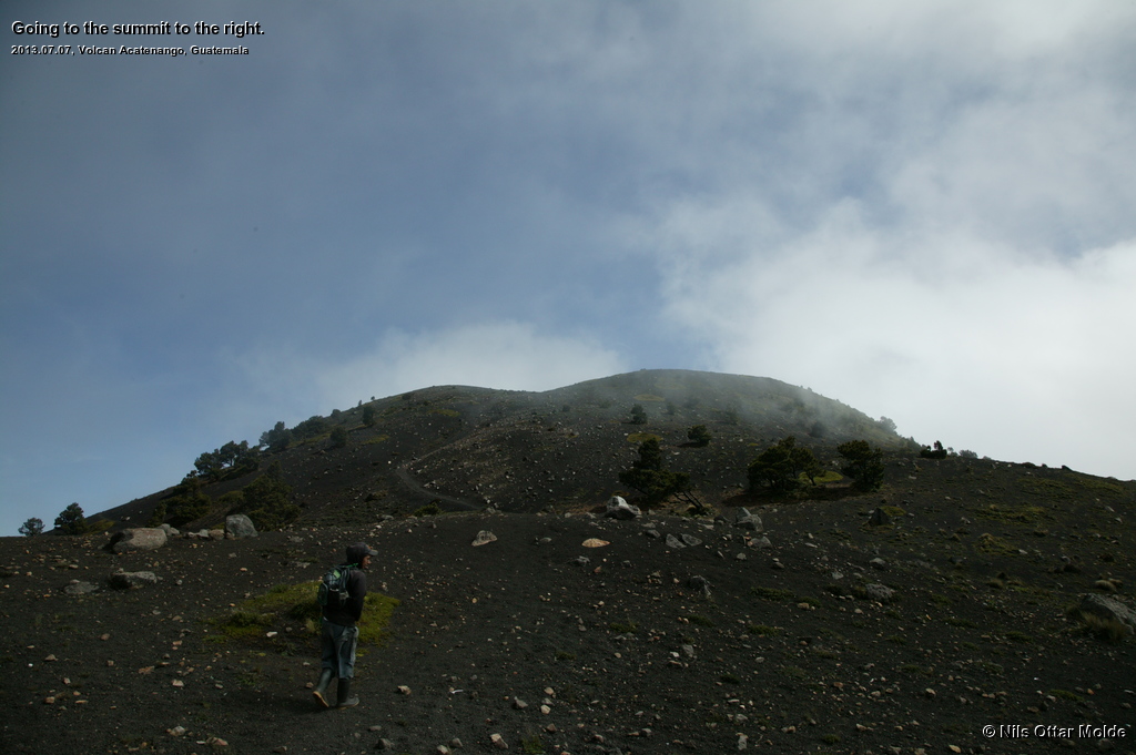
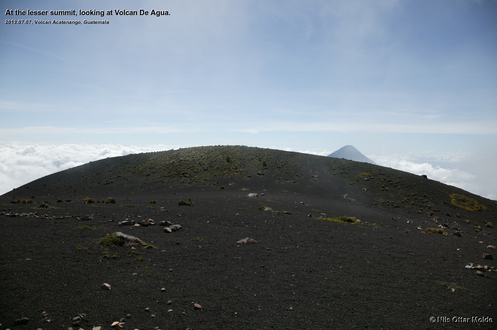
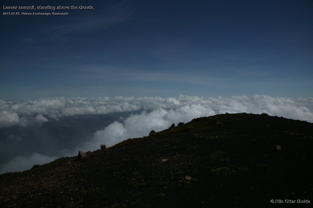
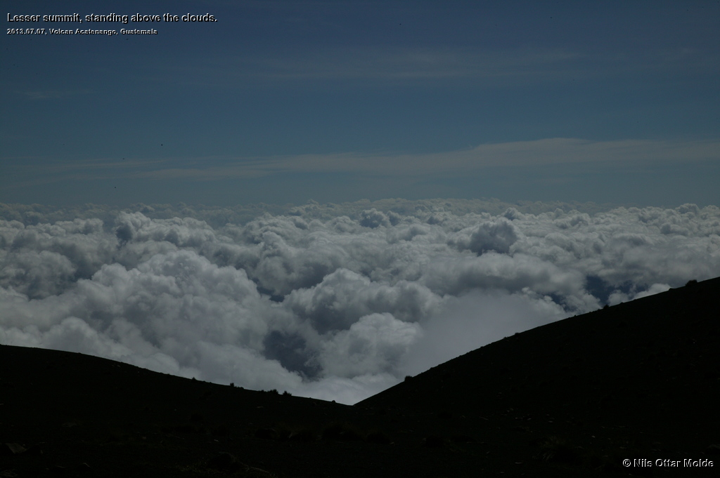
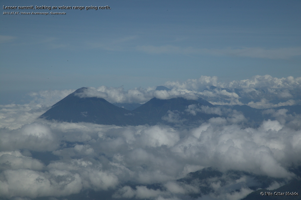
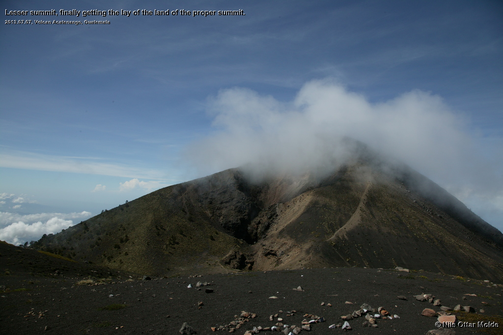
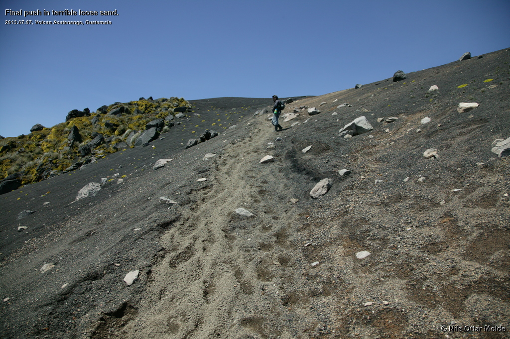
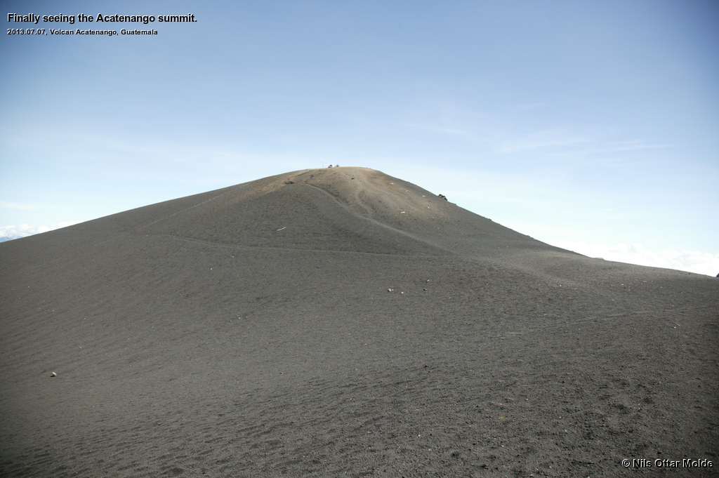
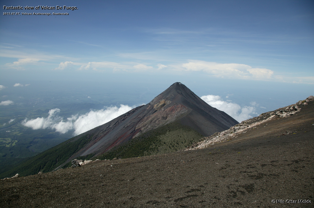
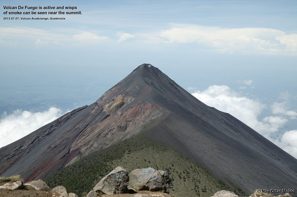
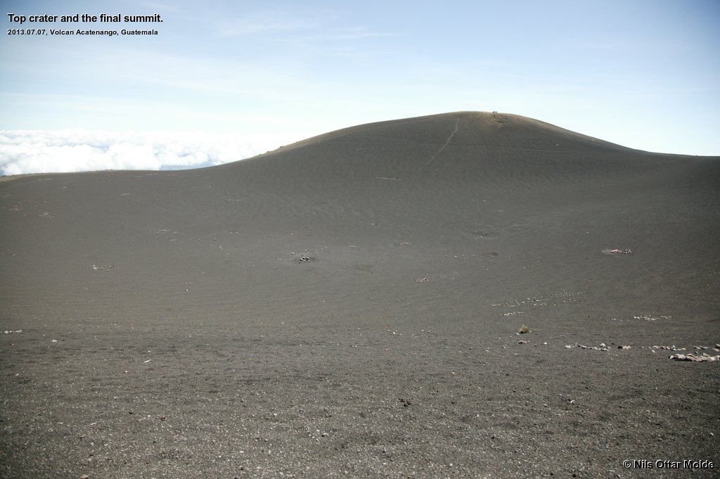
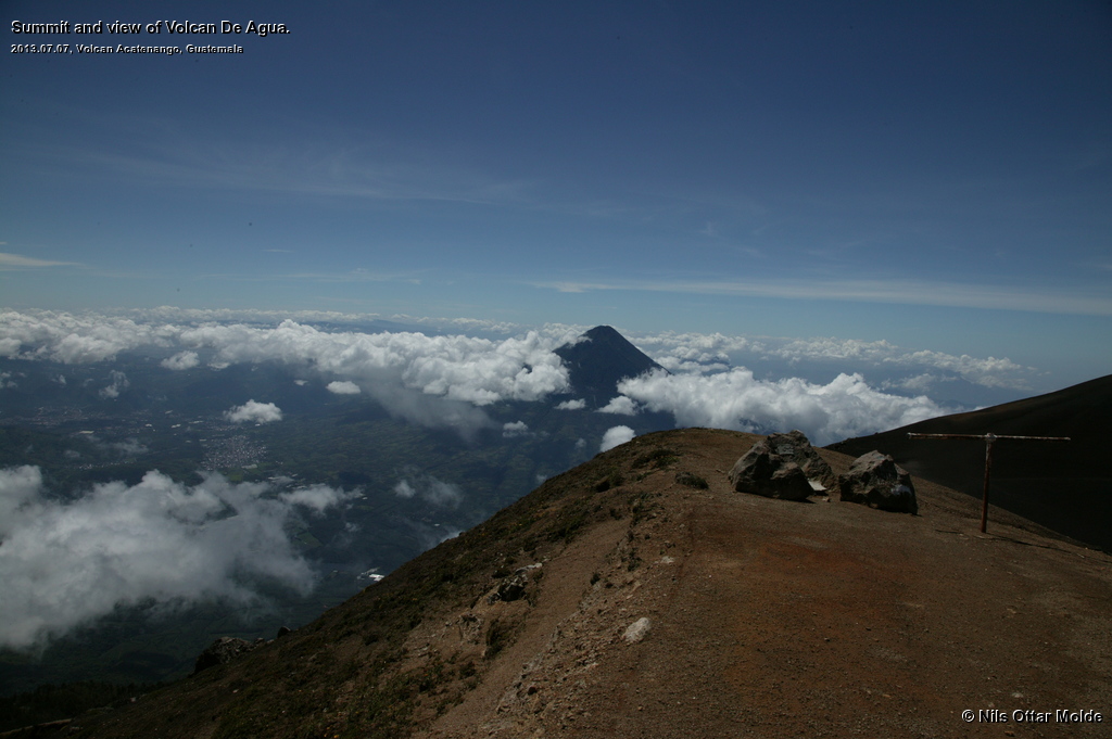
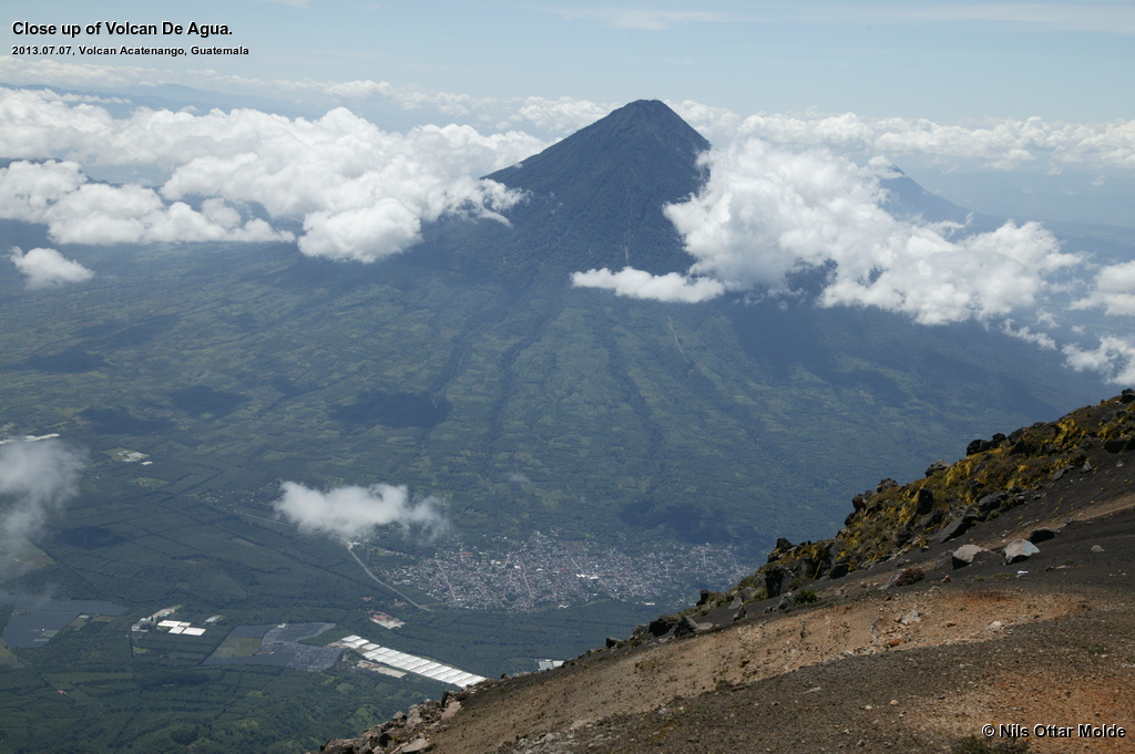
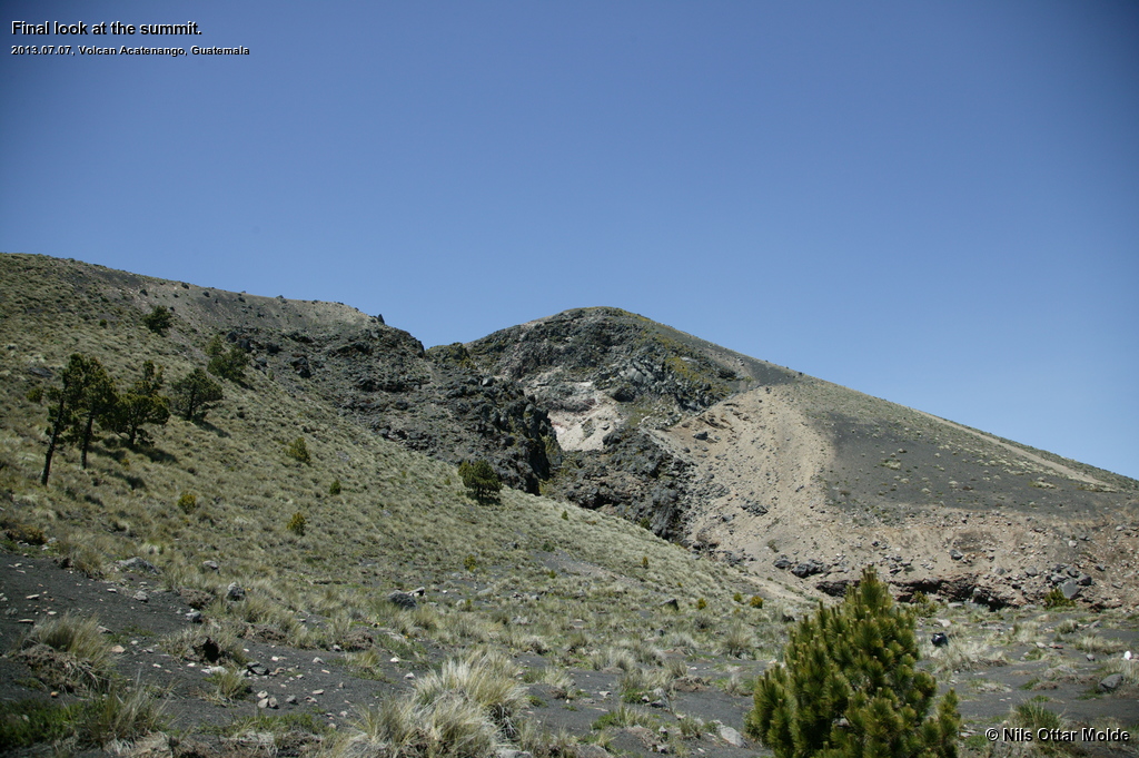
The clouds kept on dispersing and the wiew grew better and better. Going down from the lesser summit I could see directly into the old crater of the right summit. We started up the final rise and here the trail was extremely loose sand. My guess is that each step would only buy me 5 cm of elevation. It was really strenous walking indeed. Just below the summit the ground again became harder even if the whole top plateu was nothing but black sand. Now I finally understood what the guide had tried to tell me as well, as we got a fantastic view to the neighboring volcano, Volcan Del Fuego. This is a still active volcano and I could see plumes of smoke emerging from a location nearly at the summit.
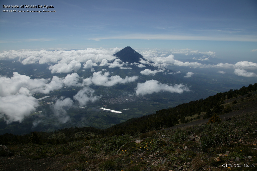
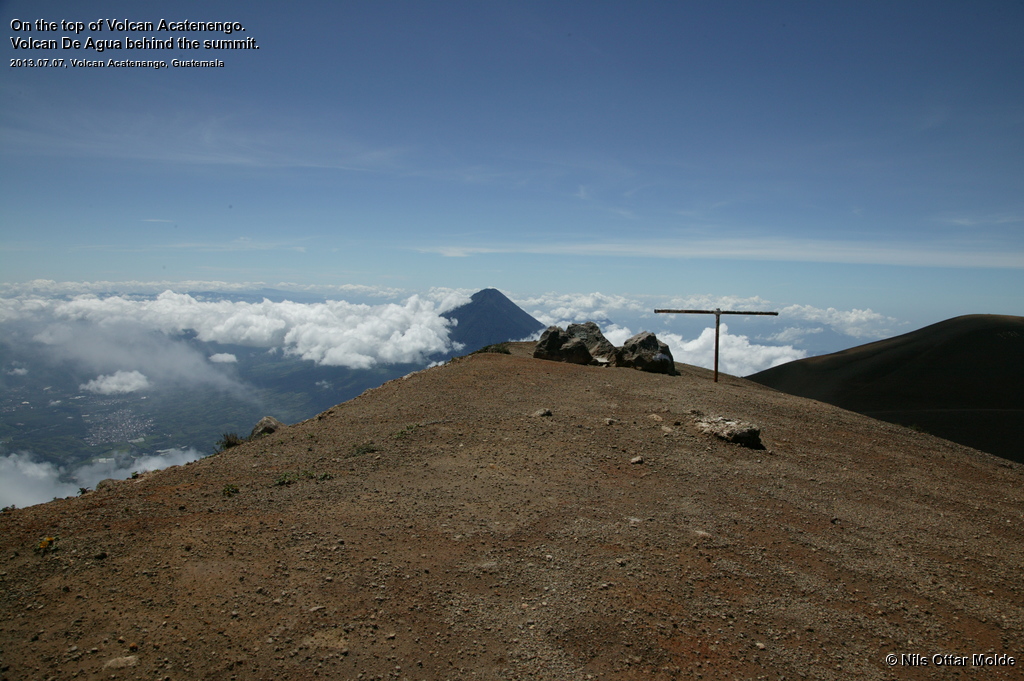
The weather was fantastic with only a cold wind to worry about. This did not bother me but I could see that the guide was not so happy. I wandered around the whole rim of the top and got to the marked high point. The drop into the crater proper was very steep and the trail went right up to the rim so some caution was appropriate. I took a lot of pictures and enjoyed the vista enormously. I gave the guide a Snickers bar and had one for myself as well.
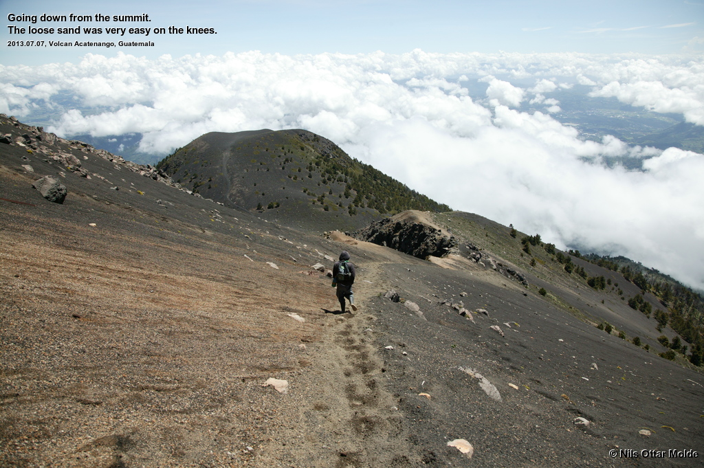
After 20 - 30 minutes we started on the descent. And now the upside of the condition of the trail came into play. Walking down in loose scree is very easy on the knees and makes for great speed. Shortly after leaving the summit we were out of the wind and I stopped to remove my windbreaker as the sun warmed good. The trip down was uneventful. The guide chose a slightly steeper trail down through the jungle part of the mountain with less zigs and zags. I'm glad we didn't come up that way.
Down by the road the driver had waited all the time in order to take me back to Antigua. He'd had a nice day in the sun talking with the local villagers. Driving back I could see the surroundings in broad daylight, and as I looked back upon the mountain, the summit was now again covered in clouds. I had been very lucky to have that window of clear skies when on top so that I could really enjoy the grand view.
From the mountain
The drive back to Antigua was uneventful (apart from the fantastically bad road from the village) and I arrived back reasonably tired and went straight to my room for shower and change of clothes. The Hostel boasted a laudry service so I put all my sweaty belongings in a bag and left them for washing. The clothes was returned later the same day, clean and dry, and it cost me NOK 18 (about 3 US Dollars). Fantastic value for money.
Lennart showed up shortly after my arrival at the hostel. He had tried to meet up with some friends of his who by coincidence was renting a house a bit outside Antigua this year. They had arrived the previous day, but they had failed to make a meeting. Anyway, we now found a place for a bite of food and a couple of beers as we celebrated a highly successful tour on my part. Both the mountains I had targeted where climbed with success. Lennart had managed to reduce the swelling and pain in his foot, but it was still so tender that it would have been impossible to go on a mountain this day. Really bad luck for him, mountainwise.
Again, we opted for an early evening as we would be picked up by another shuttle bus at 08:30 the next day for transfer to Guatemala City Airport and the two leg flight home to Cancun, to meet up with our families. There we were to spend another 10 days at a resort with "all included" food- and drinkwise and the primary goal seemed to be to put on weight, a task that I completed with tremendous success.
All in all a very satisfying trip to a new and exiting environment, and two very attractive treks to the mountains.
Trivia/Reference
Photos marked with Nils Ottar Molde is taken with a Canon EOS-1 Ds Mark I camera, using a Canon EF 24-105mm L IS USM lens.
Here is how the GPS readings we collected during the trip is rendered in Google Earth.
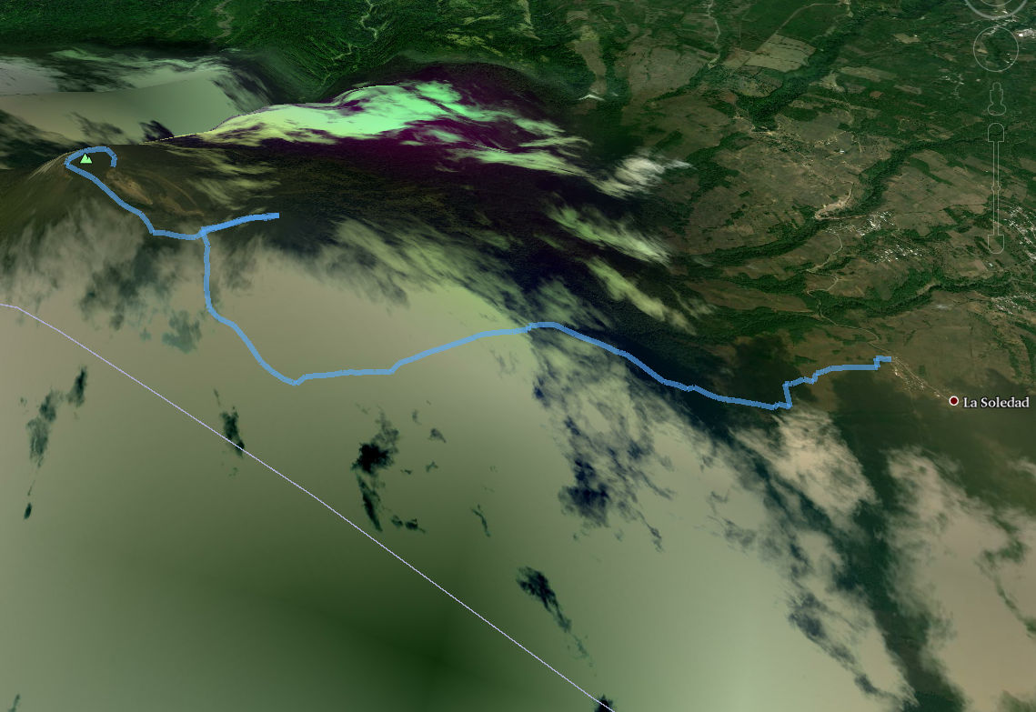
And below is the kml format of the route. Using the GPSBabel software, you could probably convert it to fit into your own GPS device.
This file can also be applied directly into Google Earth so you can view the route from many different angles and altitudes.
Download kml file for Volcán Acatenango.