Content
Preparation
For those of You that are only interested in the mountain, jump straight to the On the mountain chapter. The preamble is detailed and for my own sake as my memory tends to be a bit slippery ...
This year our family had known for a long time that we should have our vacation in Mexico, at a resort in Cancun on the Yucatan Peninsula. A friend of ours in Oslo, Lennart, had made the arrangements and we were very happy to travel with his family for this vacation. It was not the first time we had been on tour together, both domestic and abroad.
As always when the vacation destination is settled I start looking for the nearest exciting mountain to visit. The high point of Mexico, Pico de Orizaba at 5.636 m.s.l. was the obvious choice, but when I read that climbing this mountain during the rainy season (which is during July, August and September, give or take a month or two depending on the region) was a bad idea I scratched that mountain from the candidates list. The next country to check was Belitze, but the high point there, Victoria's Peak at 1,180 m.s.l., was so far from accessible roads that it would take several days of trekking through tropical jungle just to reach the mountain. Another candidate out of the race. Then the next choice was Guatemala. And now it started getting interesting.
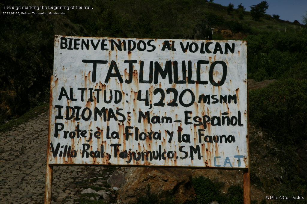
Guatemala could boast Volcan Tajumulco as its high point at 4.220 m.s.l., and at the same time beeing the high point of Central America. The next natural step was to consult the extremely exhausting pages of Petter Bjørstad to see if he had done any forays into the Guatemalean mountains. And of course he had. Reading about the two mountains he had climbed (Tajumulco and Acatenango) I decided to do the same myself.
Initially I tought that I would bring my entire family along on this minor expedition, but when my wife read some of the recommendations that different countries had put on their official web sites when it came to travel in Guatemala she terminated that option rather quickly. I decided to ask Lennart if he wanted to come along for the trip and he readily agreed. Since he is familiar with organizing travels he volunteered for the task of finding airline tickets from Cancun to Guatemala City Airport, and I concentrated on the travel inside Guatemala and arranging lodgings and guides. Another exciting adventure was afoot.
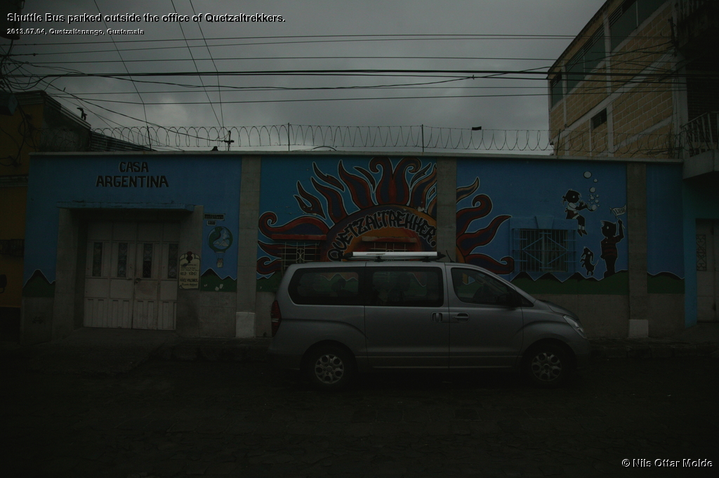
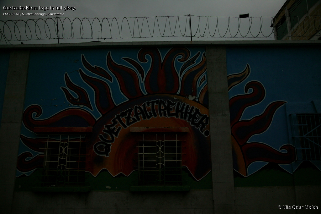
I first approched Quetzaltrekkers for help with guides and travel from the airport to the mountains. They could fix me up with everything I needed for transport and guide to Tajumulco, but they had no business in Antigua, the city from where to go to Acatenango. They recommended another agency for this, Adrenalinatours. Quetzaltrekkers even included rent of clothes in their price so we could travel from Norway with less equipment. The trip to Tajumulco was suggested as a two day trip, going high on the mountain on the first day and then spending the night there. Then, early in the morning the second day, scale the remaining 250 metres in order to get to view the sunrise while at the summit. Since this was the rainy season I was a bit wary of this suggestion. Camping in the winter with degrees below zero I consider a feast. But camping in rain is nothing but bad memories from a childhood spent as a boy scout. wet, miserable, freezing, unable to sleep ... never again! So I asked for a one day hike instead. Getting wet while hiking is not a problem at all, You just keep on walking, keeping warm from the excertion, and in the end a stay at a cabin or hotel with a shower and dry clothes. Also the lure of standing on the top of the mountain watching the sun rise is way overrated in my opinion. Walking early (with headlamps if needed) have one huge advantage and that is if the sun and temperature causes high uncomfortability during the ascent.
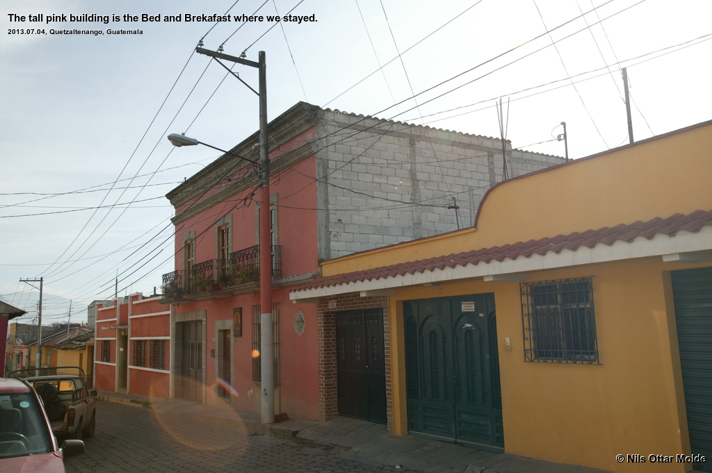
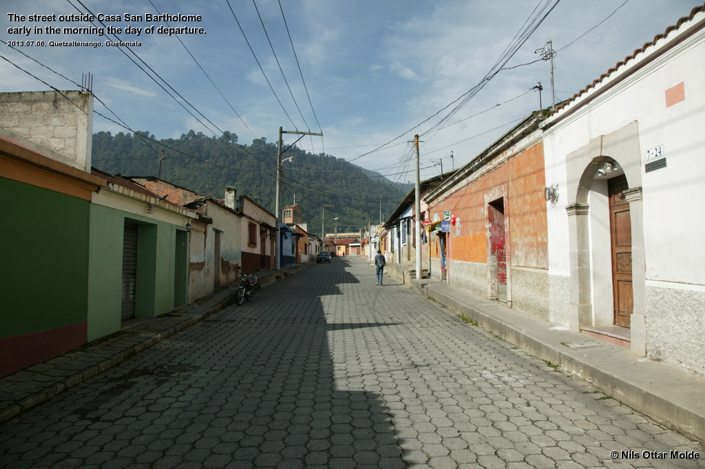
All in all the preparations went smoothly and we were set up with transportation and guides. I booked hotels via the booking.com website. In Xela we stayed at Casa San Bartolome and in Antigua at Hostel La Sin Ventura. More of the hotels later. Lennart had purchased tickets for the flights and we were to fly via Miami both ways.
So the itenerary was settled
- 4th of July : Travelling from Cancun via Miami to Guatemala City Airport and shuttle bus to Quetzaltenango (named Xela for short).
- 5th of July : Ascending Tajumulco
- 6th of July : Travelling from Xela to Antigua
- 7th of July : Ascending Acatenango
- 8th of July : Travelling from Antigua to Guatemala City Airport and from there to Cancun via Miami.
To the mountain
Finally the day for departure to Guatemala had arrived. Lennart and myself rose at 04:00 hours in order to get on a flight from Cancun to Miami at 06:30. The trip to Guatemala Airport was uneventful except for a tense moment at Miami Airport when the american customs officer found the visa to Iran in my passport. He zeroed in on this immediately and asked me in a less than friendly voice what my purpose for visiting Iran was. It was obvious that he took a dim view upon travels to Iran. When I told him that it was to climb the highest mountain in Iran I got a cold stare, my passport back and permission to continue.
Arriving nearly 20 minutes early at Guatemala Airport there was no one waiting for us at the exit. We just cooled our heels and after 10 minutes a man bearing a sign with my name on it appeared. We greeted him and prepared to follow him to the car, but he was a bit worried and asked for the third member of our party. Which third member, we enquired, and he pointed to the sign that bore the legend "Nils Ottar Molde" with each part of my name on a single line. The misunderstanding was immediately cleared when we could inform him that all of this was my name and not the name of three individuals.
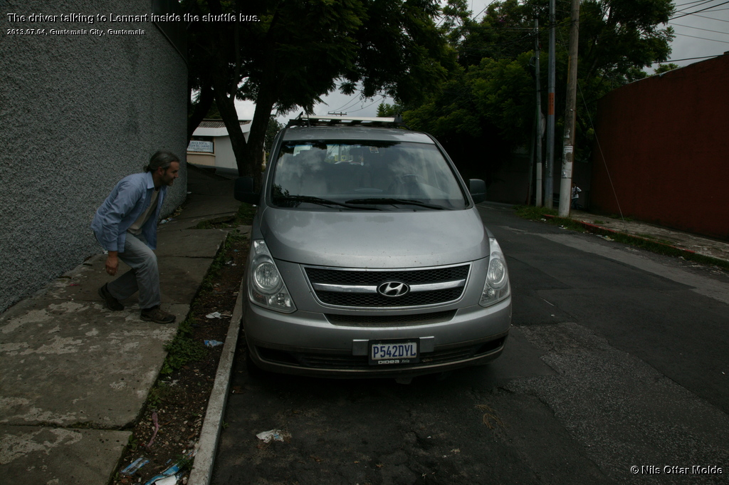
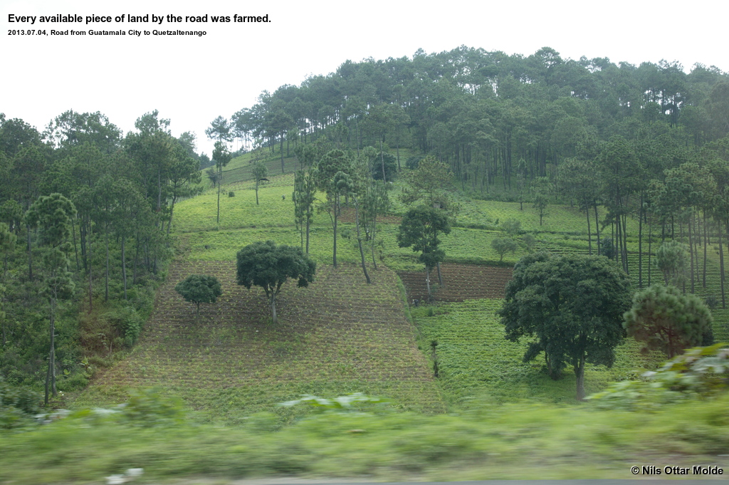
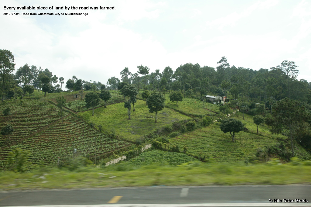
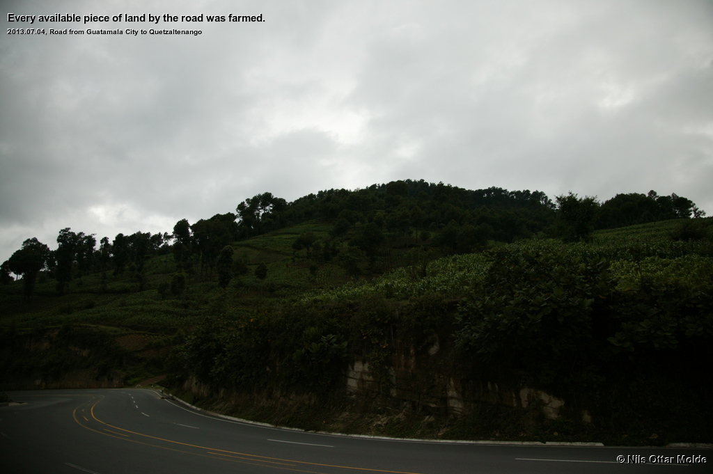
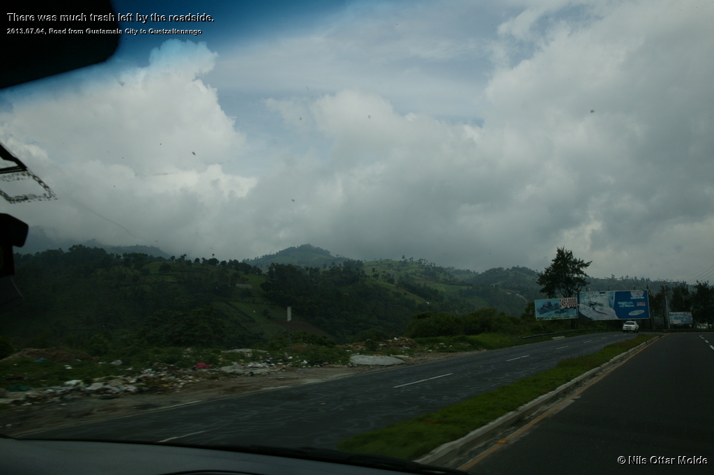
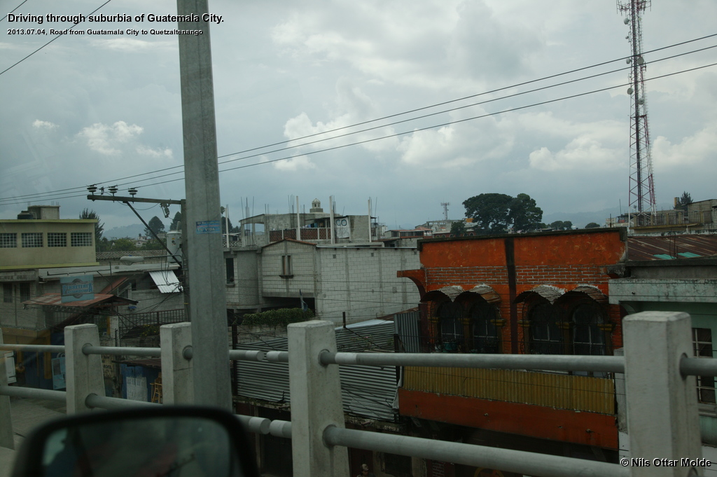
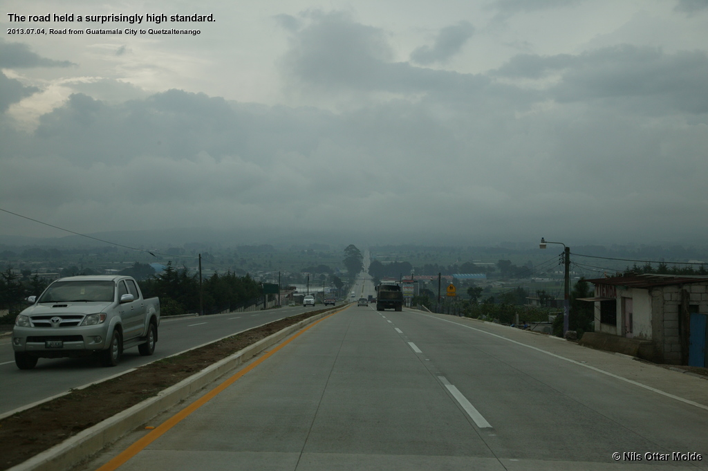
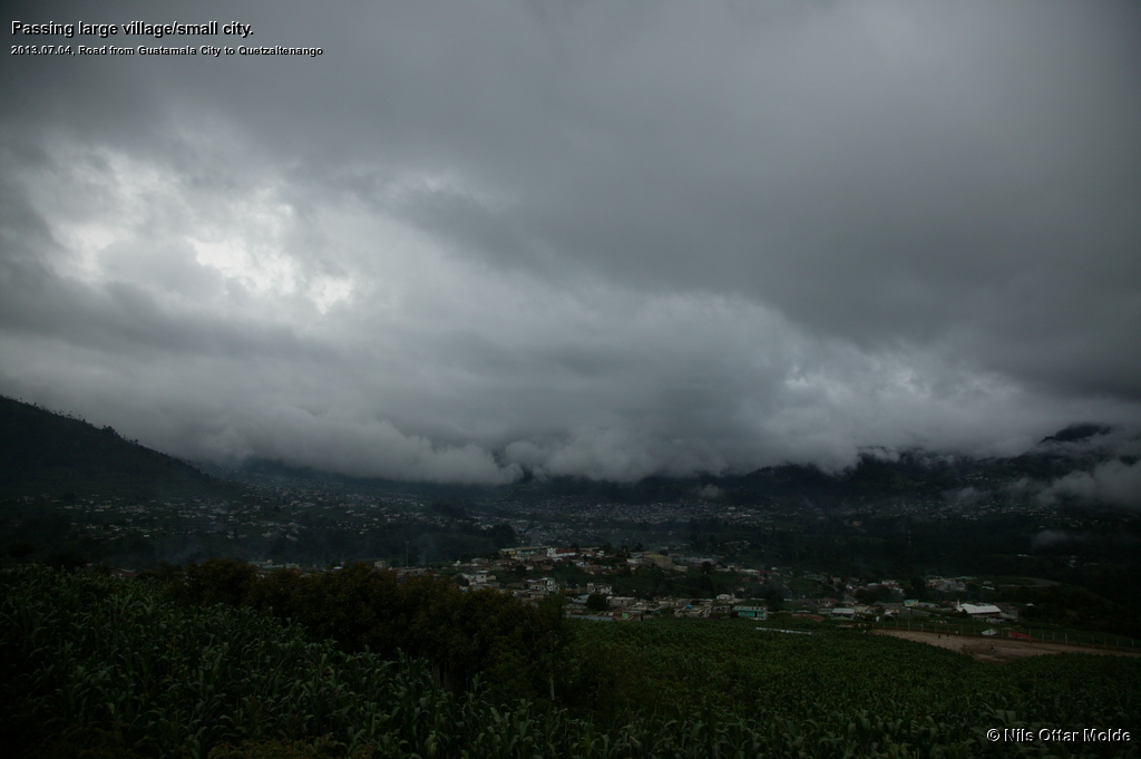
He had parked a 5 minutes walk away from the main exit of airport. As we walked to the car he warned us to take care as pedestrians have no rights at all in the Guatemalean traffic. The car tuned out to be a minivan with room for 8 passengers. The driver, an american who had lived in Xela for the last 14 years, told us that The trip to Xela would take approximately 3 hours. The trip was very interesting as we could get a good look of the country we drove through. He also helped us out with the correct pronunciation of the places we were to visit.
When we arrived in Xela we were brought to the premises where the Quetzlatrekkers resided, and went in for a short briefing of how the next day's trek was to be executed. Inside we were greeted by a couple of the staff, and we were introduced to the person who was to be our guide the following day, César. He went through the track to the mountain explaining where we would start (3.000 mls) and how to reach the top. He also outlined how we were to reach the starting point which turned out to be quite an ordeal. First we would be picked up at 04:00 the next morning by taxi and taken to the bus station in Xela. From there we were to travel by Chicken Bus in 2 hours to San Mateo where we would have berakfast before another 1.5 hours journey on another Chicken Bus to the starting point.
This beeing the rainy season, I asked about the prospect for rain during the hike, and as on cue it started to rain. César said that it would rain during the afternoon with high probability, and we had to prepare for very cold conditions on the top. At the time I was wearing only a t-shirt, shorts and sandals, and with the rain coming down it felt oddly chilly. So I panicked and went into the storeroom that offered clothes to the trekkers and picked out a huge fleece jacket and some heavy gloves.
The taxi driver that had collected us at the airport lived nearby and had offered to return to the Quetzaltrekkers office after our talk with César and take us to the B&B, and he promptly did. Great service!
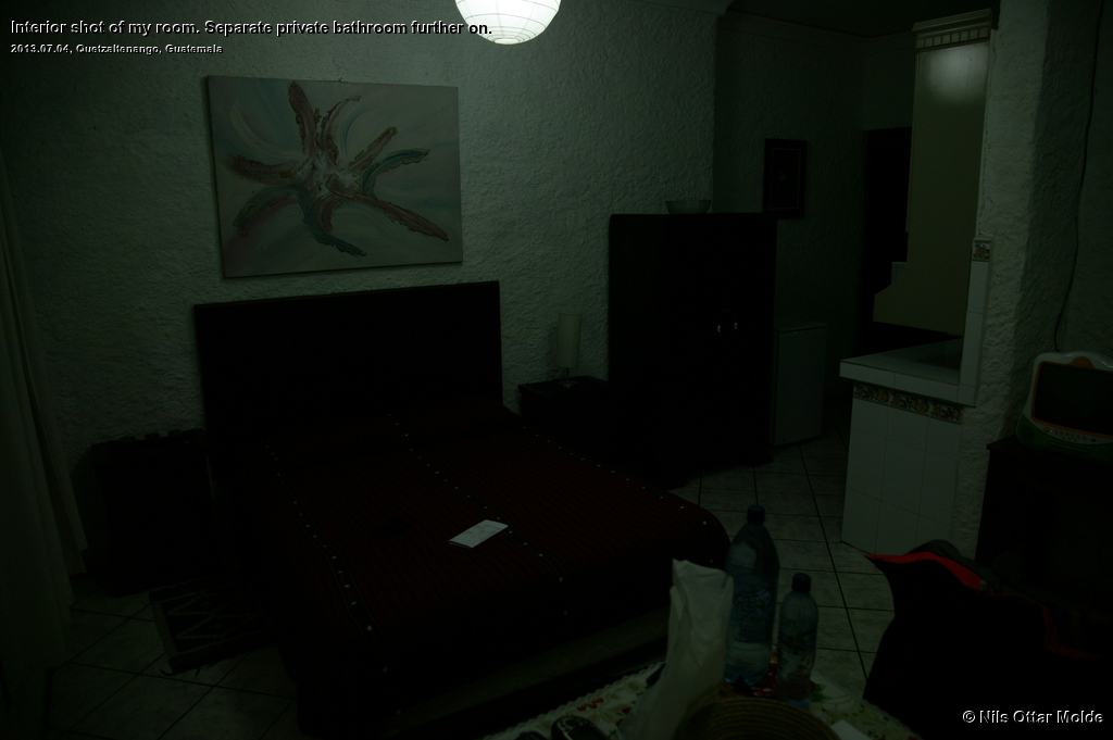

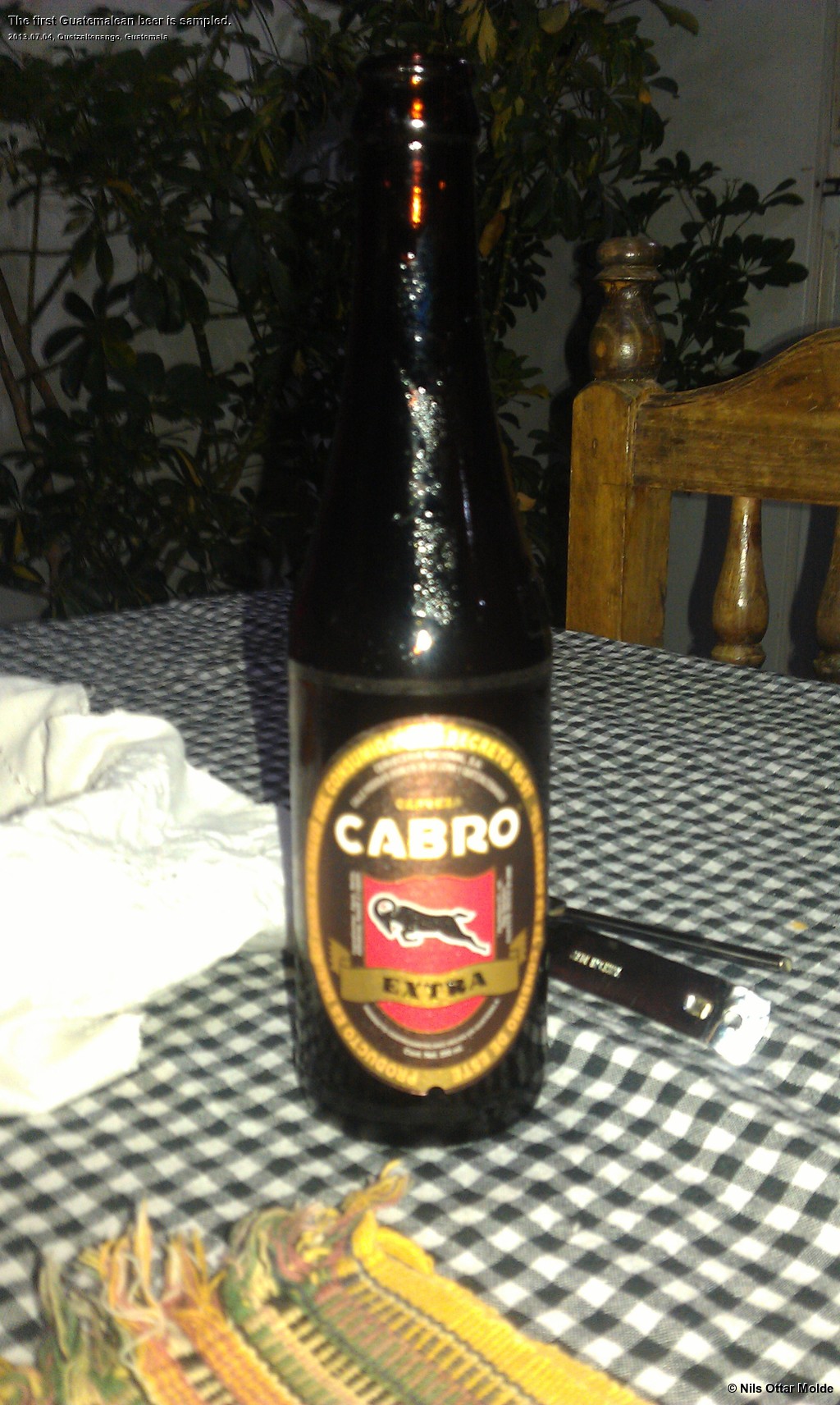
Since it had been a long day, we opted for a quick dinner at the B&B and went to bed early. After all we were off at 04:00 the next morning. I managed to get my first sample of Guatemalean beer though.
The next morning I dressed in a thin wool pullover and wind proof jacket and trousers. Heavy wool socks in light hiking shoes and my indispensable Tilley hat completed the outfit. In the backpack I included the fleecejacked and the gloves plus 3 litres of water, 2 x .5 litres of Coca Cola and a couple of Snickers. This would have to do.
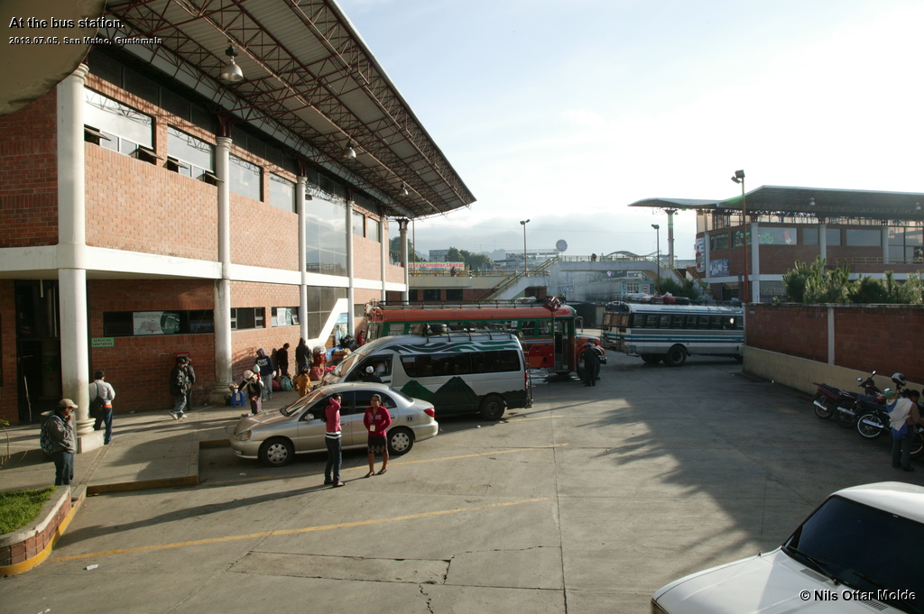
At 03:55 we were ready on the pavement outside the B&B waiting for the taxi and César. It was rather chilly and beeing sleepy did nothing to dampen that feeling. Soon the taxi pulled over and we stuffed the backpacks and ourselves into the car and were off for the bus station. When we arrived there was a thick fog all over, and buses were coming in to take up positions. A market was in the process of opening nearby and many people were coming in with lots of vegetables to set up stalls for selling the produce. The bus drivers and their assistant (all buses had one driver and one assistant) were shouting out the destination of the buses. César found the correct bus and put us onboard making sure that we got the best seat for our long legs (we were at all times nearly two heads higher than the native poulation) which were the first seat to the left of the entrance. This also gave us the best view when we rode along. After a rather long wait we were on our way ... at a snail's pace. The assistant would hang out of the door shouting the destination at the top of his lungs, and people would come from all directions running in order to board the bus. We soon saw a pattern to how climb on to the buses were to be performed. If possible the bus would not halt at all. Only in extreme cases where the passengers had lots of baggage. Then the assistant would work like a maniac with hustling the baggage either into the bus or onto the roof and would re-enter a bus (already moving) through the back door.
Suddenly the driver entered a one-way lane and stepped on the gas with all his might. He drove like a maniac through the complete length of the lane ... and the reason was obvious ... he was driving the wrong way! Cars that came the correct way would blink their lights but, wisely, steer out of the way of the huge juggernaut hurtling towards them. A nice eye opener for the inexperienced Chicken Bus passenger and a welcome rush of adrenaline ... and a pointer of things to come.
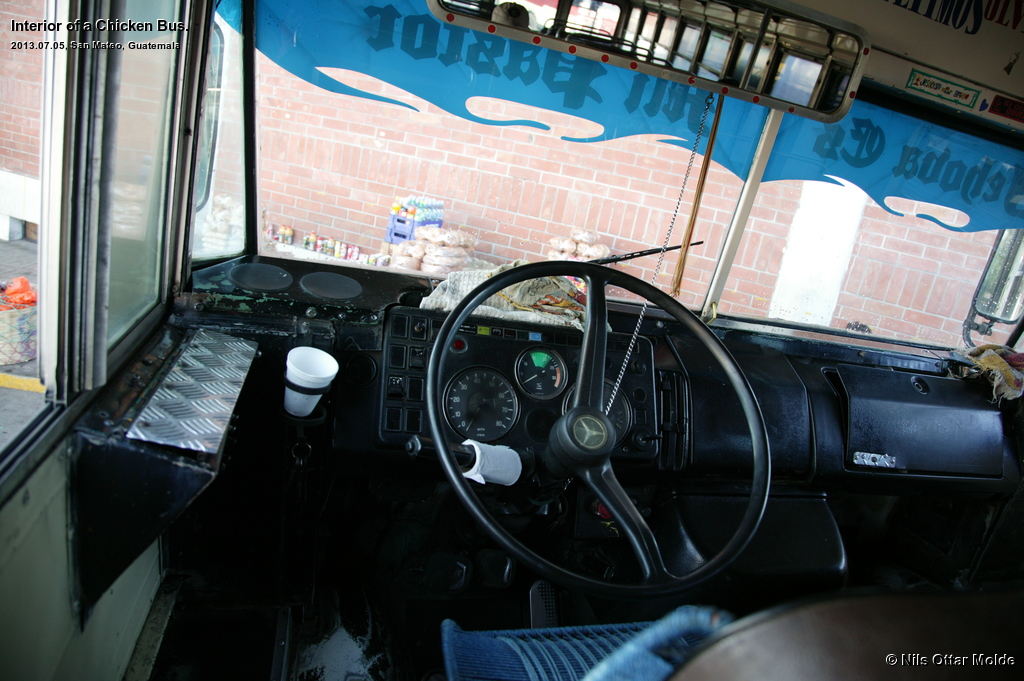
After we had snailed through the center of Xela, the driver went into normal Chicken Bus mode and all inhibitions were off. Pressing the engine to its limits we positively flew out of Xela. The fog was so thick that drops of water condensed on the windows, but the luxury of this bus offered a window viper on the driver side so at least he could see where we were going. It was pretty obvious that the buses demanded a priority role on the road, passing everything that did not manage to keep up with the desired speed requirements of the driver.
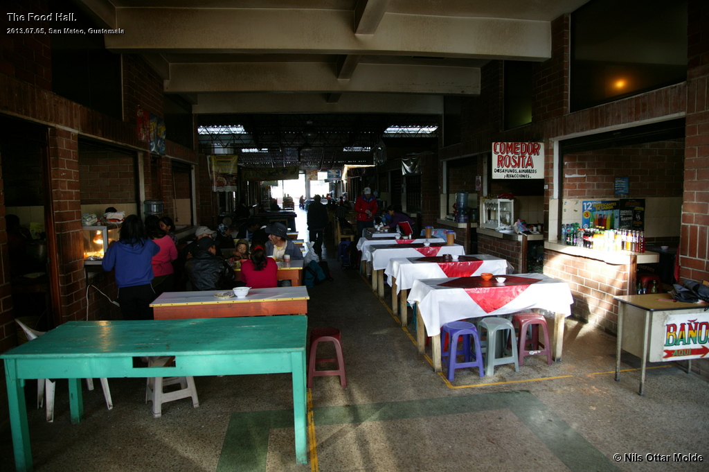
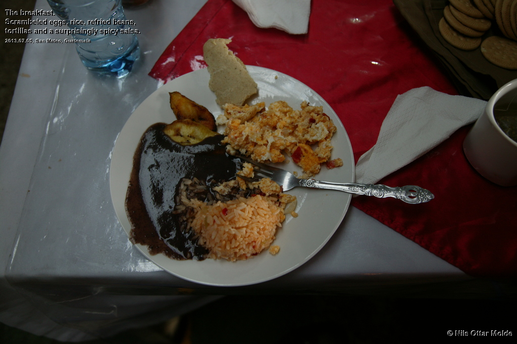
After about 2 hours we arrived at San Mateo and our brekfast that we would be having in a huge cantina by the bus station with several vendors surrounding a large area with chairs and tables. César led the way to the vendor that he had made arrangements with and we each got a plate of rice, re-fried beans, eggs and tortillas with a surpsisingly spicy salsa. For drinks coffe or tea. I was cold and stiff after the bus ride so I surprised myself by accepting a cup of tea hoping to get warmth into my body. And that worked magnificently. After food and warm drinks I felt much better, and we went for the lookout for the next Chicken Bus to take us along for the final leg before we could start walking.
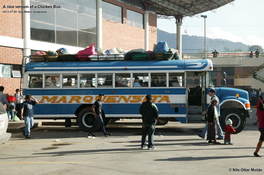
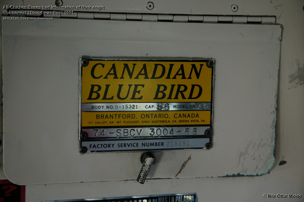
All the buses had a plate in the front showing the origin of the bus. The newest bus I found was produced in 1981. Vintage stuff.
The next 1.5 hours was more of the same : Dramatic driving, hardly stopping for passengers to embark or disembark, and hogging the road with a heavy hand.
As we should ascend from 2.300 msl to 3000 msl we had some steep road to drive and the bus strained hard in the steepest slopes. The zig and zags reminding me of the ascent from Aurland to the Hardangervidda plateu back home, but infinitely much more lush vegetation all around. The assistant would use the horn extensively every time we came to another 180 degree turn, warning oncoming traffic to back off.
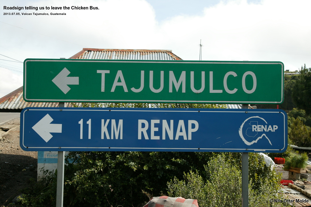
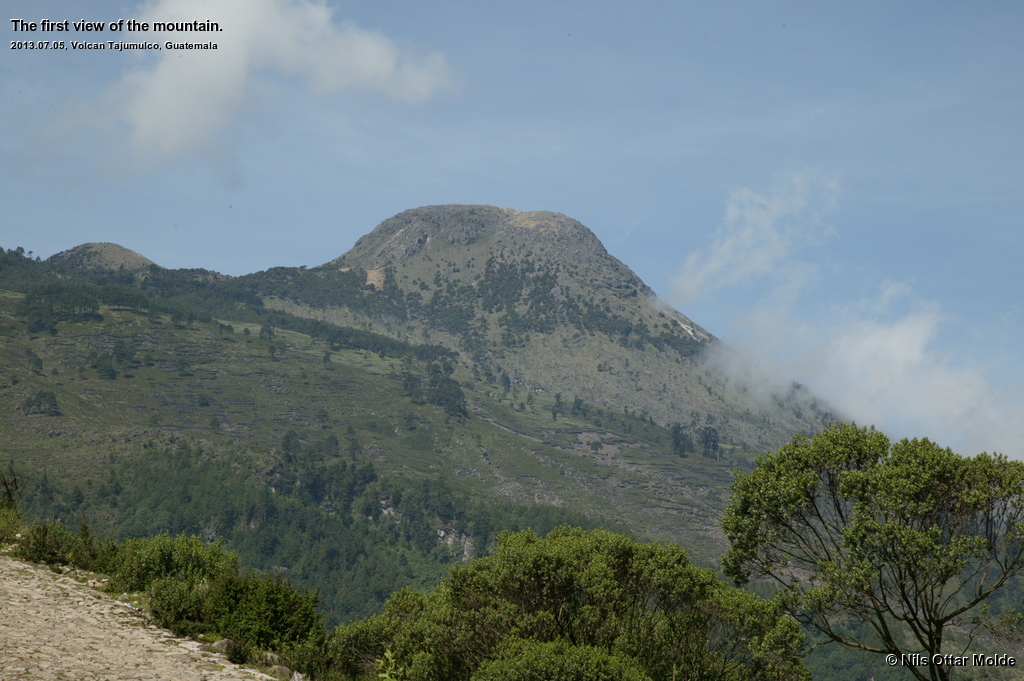
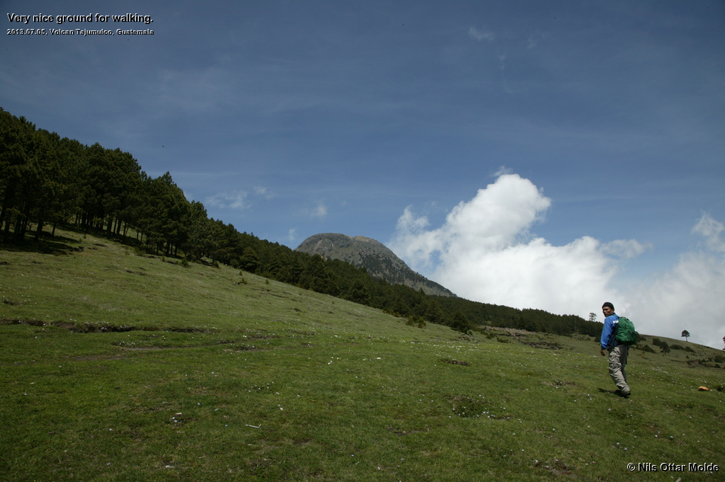
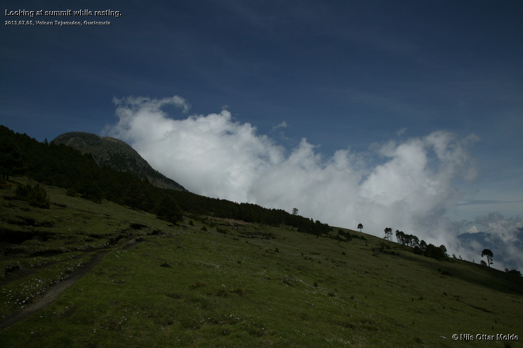
Finally we arrived at the stop where the trail to the mountain starts and we hurried out of the bus, probably straining the patience of the driver to the maximum as we could not match the speed of the natives. Now we could see the summit for the first time clearly from the road. The sight was excellent and the weather was holding up very nice with only a few small clouds.
On the mountain
Now the time of day was getting close to 11:00 in the morning and the weather was excellent. I must admit that I was a bit worried that we had not started on the trail much, much earlier. If we had started at about 06:00 (when the light was sufficient for walking without headlamps) we would have been on our return from the summit by now, all in excellent weather. But, there was nothing to do about that now, so we started on the trail in high spirits.
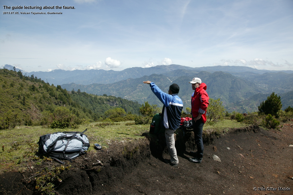
César turned out to be very well versed in the local flora and pointed out the plants that grew by the trail and gave us a tiny lecture for each of them. This was a most welcome addenda to the tour.
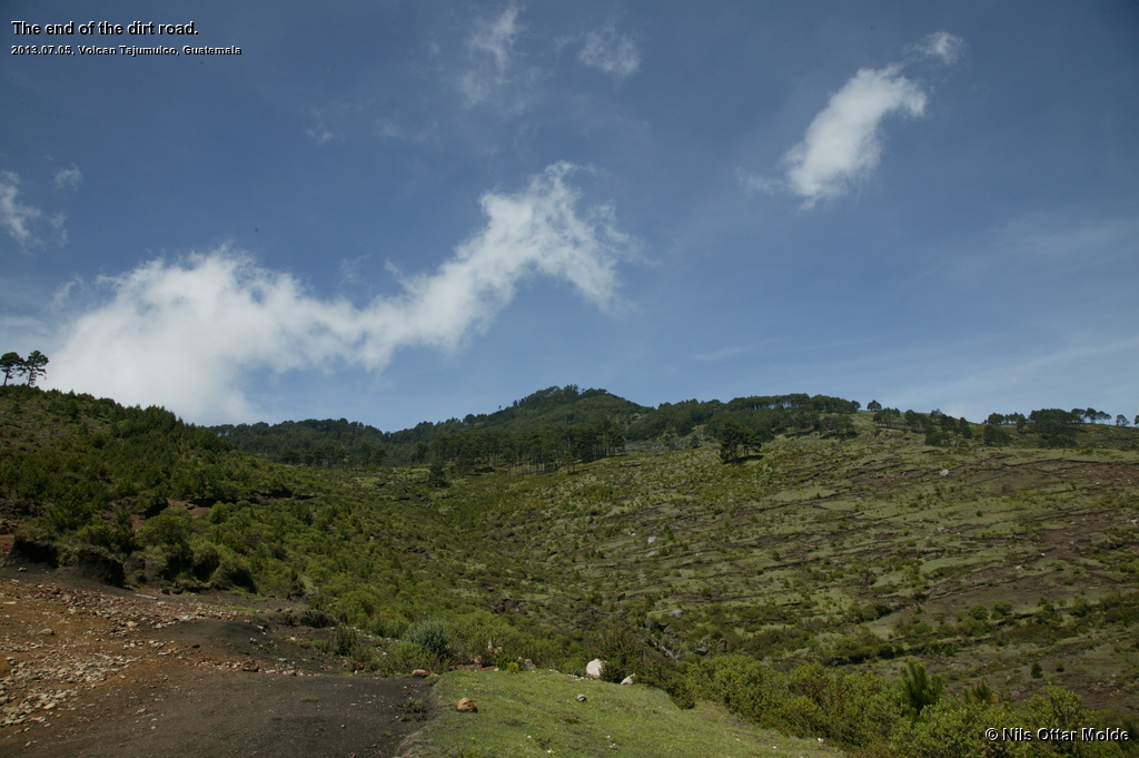
The trail started out as a rather broad brick layed road that lead to some houses on the first rise above the main road. Beyond the farms it was a dirt road that was plenty good to walk upon. We were going through fields that farmers were working on, and they waved and greeted us with huge grins.
The acclimatization for the heights we were to walk into now had been nonexistent. Both Lennart and myself live by the sea, and we had just spent four days in the Yucatan Peninsula, where the average height would probably be less than 20 msl.
I immediately felt the effect of the height and thought that we were walking a little bit too fast so I tried to act as a drouge so as to dampen the blow of the less oxygen rich air we were to breathe. This climb mirrored nearly to the meter the first leg we had to climb during the trip to Mt Damavand in Iran, and I rembered the pace that the highly experienced Mr. Soltani had adapted when we started out and which led to us having no hard times at all. That pace was slower than the current pace.
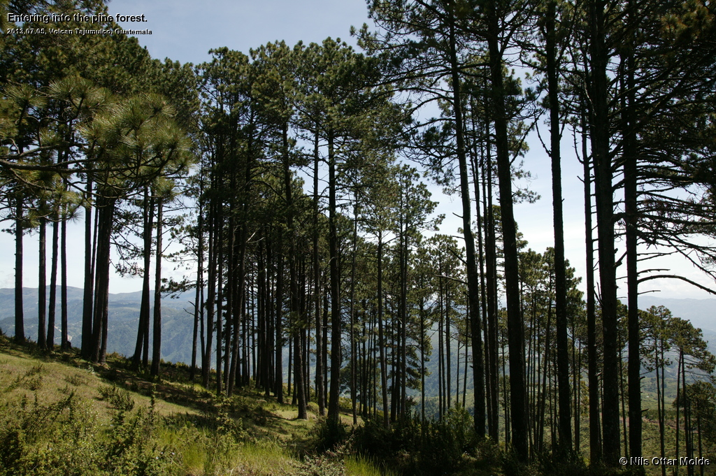
The dirt road soon came to an end with several distinct trails continuing up the slope. We could see the natives (old ladies and young boys and girls) in the forest above us and they were gathering mushrooms César could inform us. The vegetation now gave way to nice tall pine trees with grass on the ground. Excellent terrain to walk.
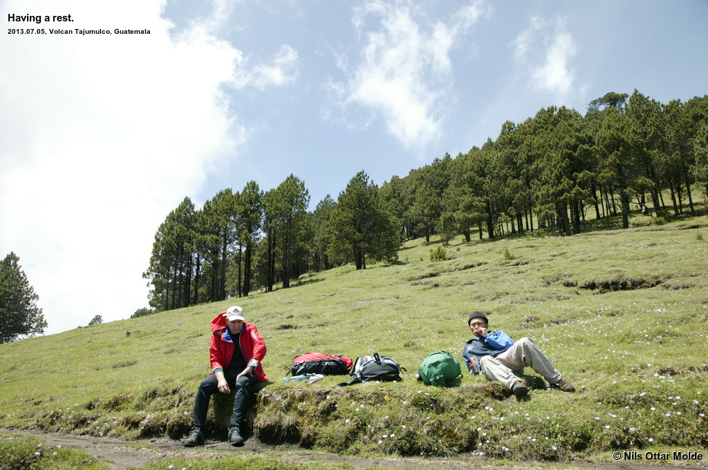
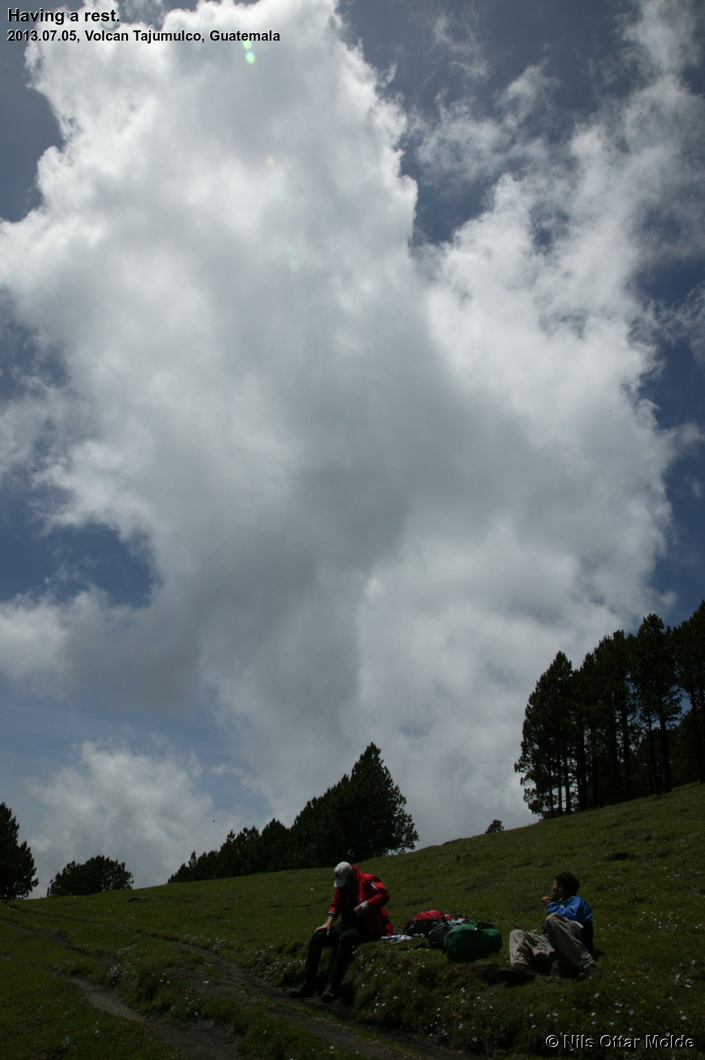
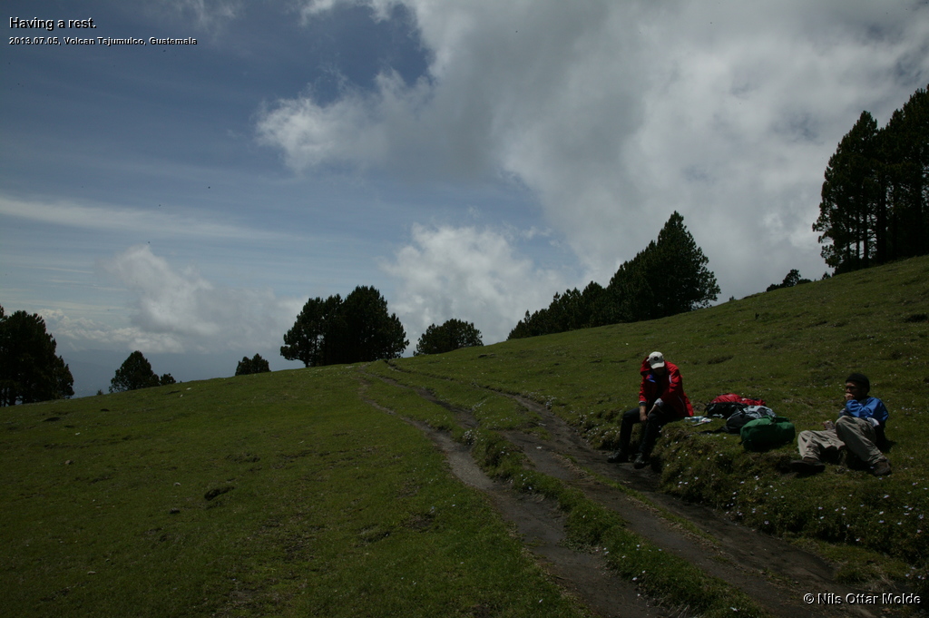
At ca 3.500 msl we had a rest and ate some chocolate. As soon as we stopped my breath was fine and when we had some parts walking on level ground there were no problems at all but as soon as the trail went steep uphill I had to slow down in order to get enough oxygen into my bloodstream.
At ca 3.700 msl Lennart suddenly started to lag behind ... I had assumed that this was my position, and when we stopped for a short rest he admitted that he was starting to develop a headache. I suggested an even slower pace, but he had made up his mind to turn around and wait for us by the main road. César was not quite happy with this as he was a bit worried of Lennart not finding the way down. The clouds were turning up in legion and some fog could also be seen rising from the valley below us. Lennart got my Sonim telephone and César put the phone number into the address list on his phone. I also gave Lennart my passport, wallet and work telephone to carry with him down from the mountain. Here we made a huge mistake that we did not try a call from César to my phone before we parted ways.
Anyway, César and myself carried on upwards and I now set the pace a bit slower than we had had so far. And still it was heavy going. I must admit that I could not remember the last time I had struggled so hard in order to gain metres ... my legs felt fine and I had no headache at all, but the feeling of not getting enough oxygen was constantly present. I forced myslef to breathe hugely, so César must have thought that I was role casting for the part of The Big Bad Wolf in the next Disney caper.
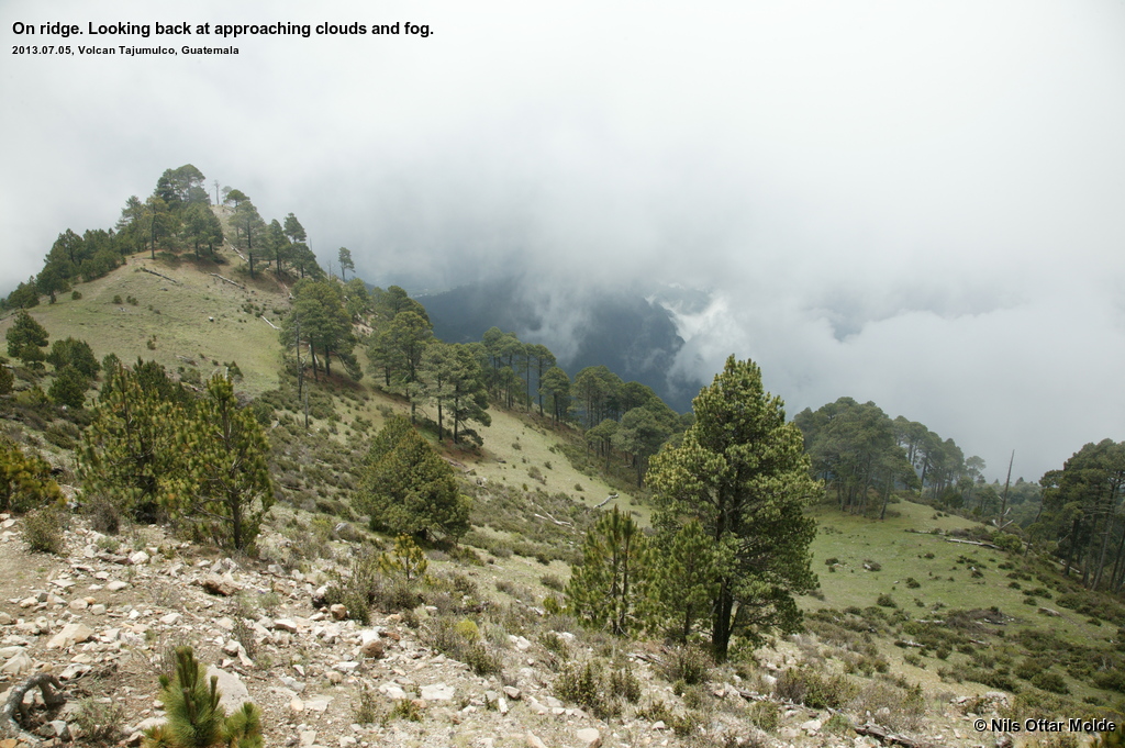
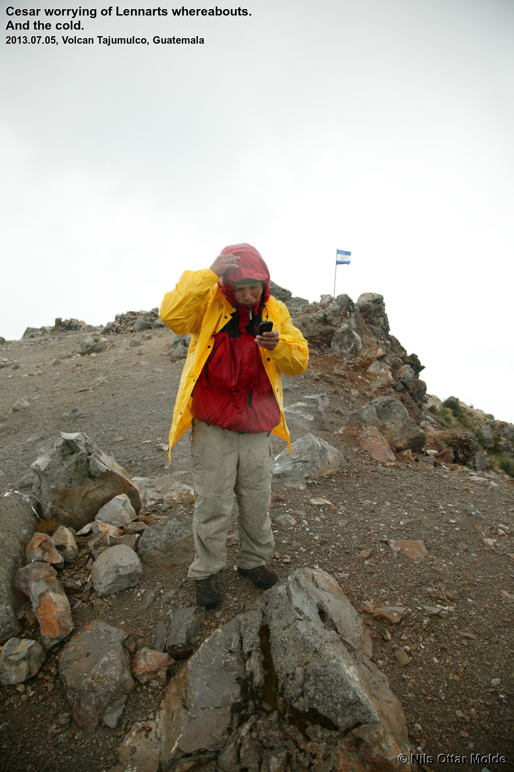
As we (I) struggled uphill, the wind became more noticable and the clouds closed in. César tried to call Lennart in order to monitor his descent to the starting point, but could not come through. I cursed my self for not initiating a test call when we parted so that we could sort out if there were any errors in the set up. César would retry to raise Lennart continously during the rest of the trip as he worried hugely about his safe return to the starting point. I have to admit that I was not worried at all. The trail from where Lennart turned around was very distinct, so I was confident that he would find the way down safely.
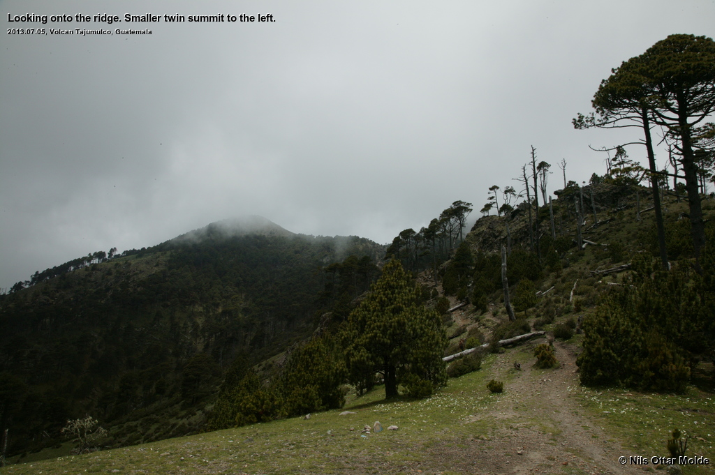
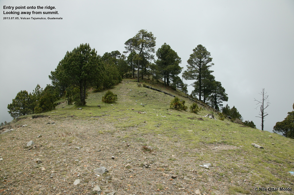
We entered a ridge that would take us to the base of the summt. We could see the lesser twin summit dead ahead. This summit was significantly lower than the main summit.
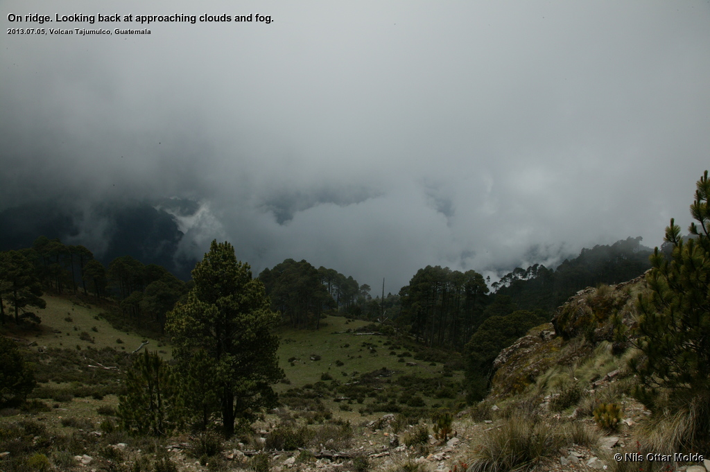
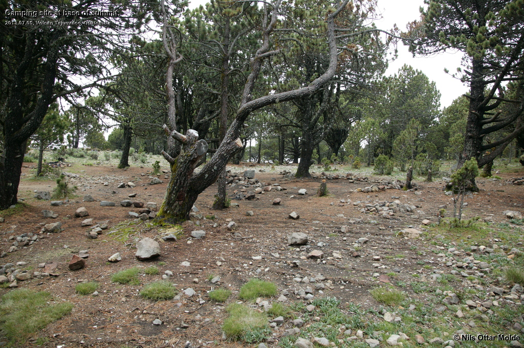
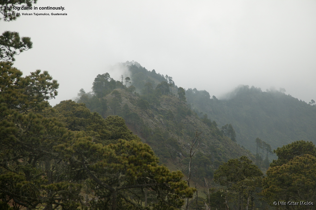
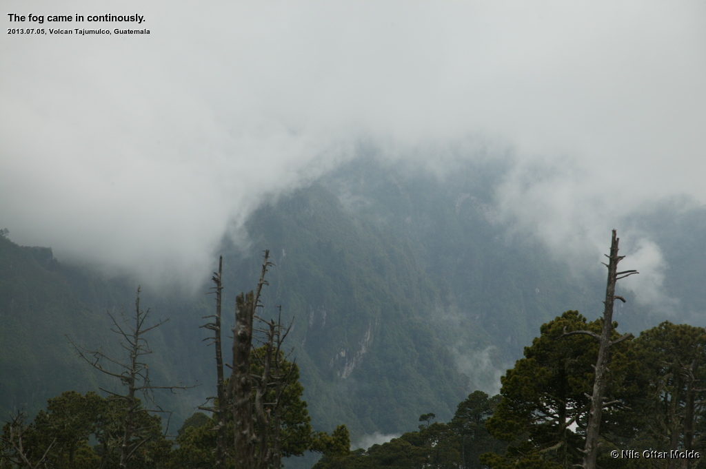
After ascending the whole ridge we came to a small plateu directly below the summit proper where the two day trekkers would raise their tents and sleep until the morning after, going the final 200 metres to the top in order to see the sunrise. Now the place was empty and the rain had started, making it look like a rather unwelcoming place. There also where huge thunderclaps echoing around the mountain. We did not see any lightning so I hoped the electrical discharges was of the cloud to cloud variety and not cloud to earth. César seemed to agree on that assumption so we pushed on to the steepest part of the climb so far.
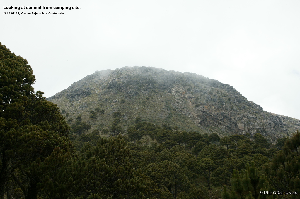
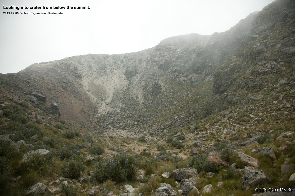
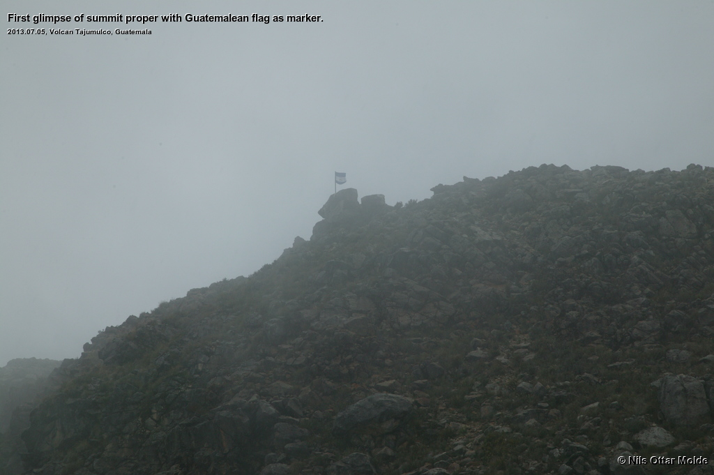
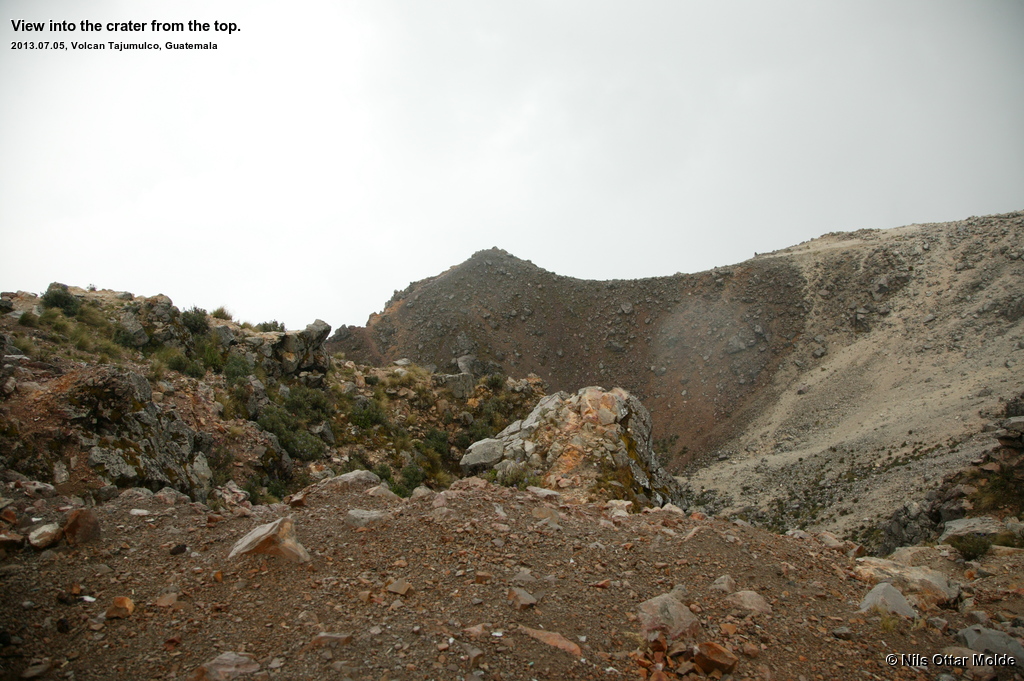
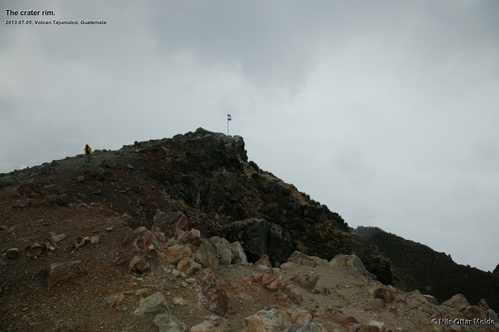
The knowledge of less than 300 metres ascent left to the top kept me going over some more rough terrain, large boulders and steep slope. Suddenly we where on the lowest rim of the crater and could see inside ... and also, at the top of the crater, a pole with the Guatemalean flag flapping in the stiff wind. We were nearly there.
César was complaining about the wind and the rain and the fact that he was cold. I had not utilized the fleece jacket nor the gloves I picked up last evening, and I was not cold at all. The temperature in my estimate was about 5 C so as a Norwegian this was business as usual in the mountains. I had been on top of Ulriken and Løvstakken during such conditions with no more clothes than shorts and t-shirt many many times.
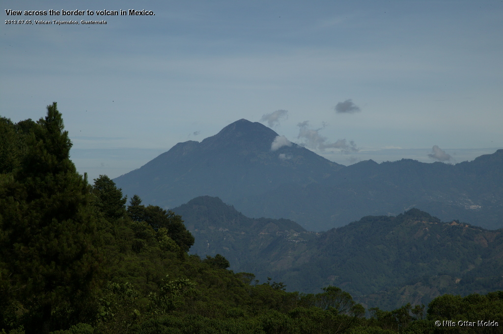
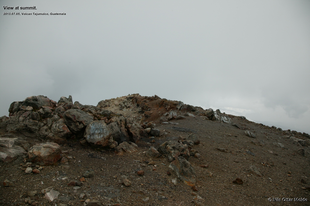
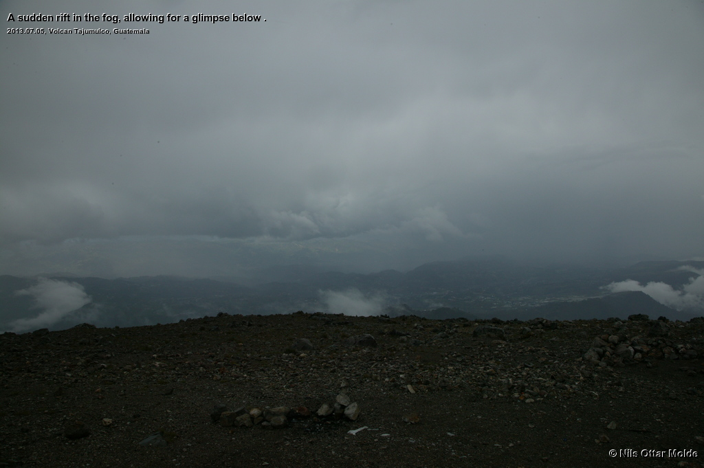
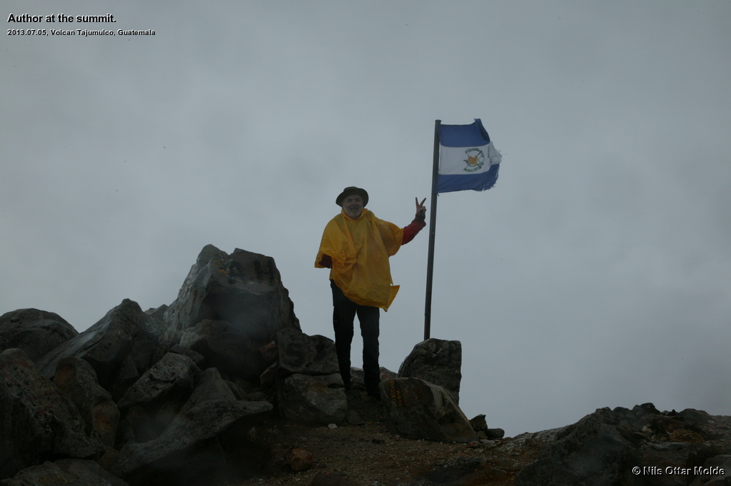
As we came onto the top I walked around the crater to see it from all angles. The clouds flew by and I got some glimpse into the valley below and the mountains in Mexico on the other side of the valley. I felt no ill effects of the height at all and enjoyed myself immensly. The thunderclaps kept coming at a rather high frequency, so after 20 minutes I had had my fill of the summit and the pictures taken, so we started on the decent. Now it started to hail as well, a rather uncommon event at this part of the world, and César found this highly amusing. No wonder he was cold.
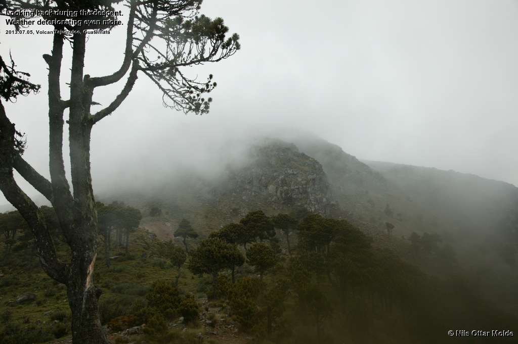
Walking downhill was (as always) much easier and I did not experience any respiratory discomfort at all. We kept a good pace down, and to Césars huge relief Lennart managed to come through on the telephone assuring him that he was safe and sound by the road. César had arranged for us to grab a meal at a restaurant by the start of the trail so he called for someone to come and get Lennart so that he did not have to wait outside in the rain by the road. The fog got thicker and thicker all the way down so that at some times the view was limited to 15 - 20 metres.

When César and myself came down to the road and into the restaurant, Lennart was sitting at a table having consumed some warm soup and was drinking tea. Now the confusion with the phones was worked out. I have two phones, one smartphone for work and one rugged phone for walking on the mountains, but with twin sim cards. This means that both phones have the same number and shall receive calls and SMS simultaneously. This had not happened in Guatemala. All of Césars calls had gone to the smartphone and Lennart thought that these calls were from my work and had no great desire to be part of my potentially work related problems so he just ignored the calls. When he eventually came down to the road he found the card that César had given him with his phone number and called him instead. And, as by magic, after an outbound call, incoming calls would now go to both phones simultaneously. I guess the Guatemalean tele operator just had to be made aware of the twin card solution.
Lennart had spent some time in a tiny cantina beside the road before he was escorted to the restaurant. There the owner of the cantina was hugely impressed with the clothes that Lennart was wearing and had spent quite some time trying to persuade Lennart to give him some of these. Finally Lennart gave him a Bjørn Dæhlie wollen hat and he was pleased with that.
From the mountain
After the meal we packed up and went out to the road to wait for a returning Chicken Bus. The rain had stopped but the fog was thick and the wait turned out to be longer than I would have guessed by the observed frequency of Chicken Buses during the time we had spent in Guatamala so far. There were several Chicken Buses going the other way though ... why where they not returning?
Finally one emerged out of the fog, and it was filled to the brim with people. But all the people waiting by the road, now numbering 6, were pushed into the bus and we were left standing in the narrow isle hanging on to a rail in the roof for dear life. Luckily there were some turnaround of passengers so after a little while I managed to obtain a seat.
It started to rain again and I noticed to my amazement that this bus did not have working window wipers at all! The driver was hurtling down the narrow road with hairpin turns during burst of heavy rain without the benefit of a clear view. After stopping by a school the bus was stuffed to the brim, and then some, with giggling girls in school uniform. This is the first time I have ever experienced a hint of claustrophobia while riding a public transport vehicle ... but with the aid of deep breaths and summoning of happy thoughts I managed to revert to puzzeled amusement throughout the ride.
Arriving safe and sound back in Xela after dark, the Chicken Bus rides was an experience I would not have been without, but I'm glad I don't have to do this on a daily basis. After a shower and change of clothes, we embarked upon a short trip to a nearby pizzeria for some food and some more sampling of the local beer was in order. Then it was off to bed as we were to travel on to Antigua the next day at 08:00 hours.
To go directly to the next leg of this trip, click here.
Trivia/Reference
Photos marked with Nils Ottar Molde is taken with a Canon EOS-1 Ds Mark I camera, using a Canon EF 24-105mm L IS USM lens. (One or two may be taken with my smartphone)
Here is how the GPS readings we collected during the trip is rendered in Google Earth.
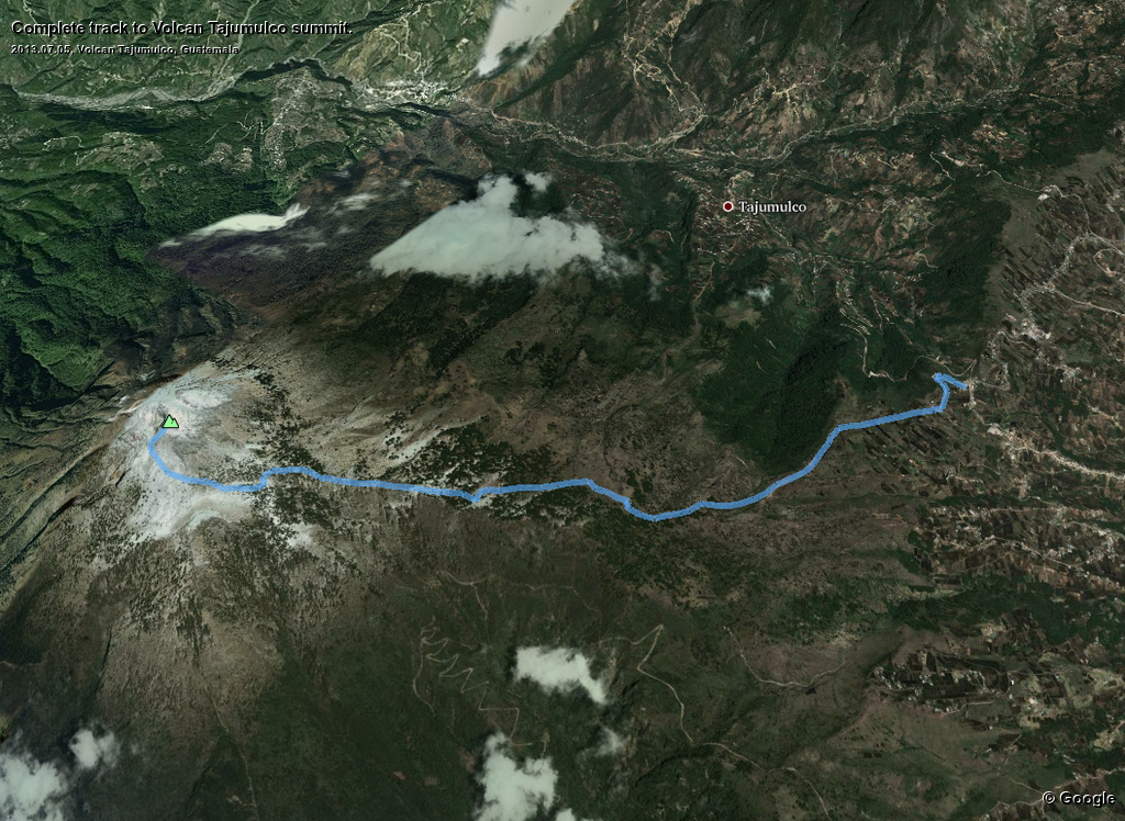
And below is the kml format of the route. Using the GPSBabel software, you could probably convert it to fit into your own GPS device.
This file can also be applied directly into Google Earth so you can view the route from many different angles and altitudes.
Download kml file for Volcan Tajumulco.