Content
Preparation
My mother-in-law decided that she would treat the family to a vacation in Egypt this Christmas. This was accepted with huge enthusiasm and the next stop was the internet to figure out what mountains were available at our destination. We were to take this vacation at Sharm El Sheik at the south point of the Sinai peninsula. This turned out to be a perfect spot as the high point of Egypt, Mt St Catherine turned out to be about a 3 hours drive where we would stay.
The most popular mountain to climb however was the Mt Sinai, where legend has it that Moses received the 10 commandments. I read a little about the mountains on the internet (but not enough it turned out later) and felt pretty confident that some mountaineering would be done during this vacation.
When we arrived at Sharm El Sheik we found a list of activities we could attend during our stay and one of them was a trip to Mt Sinai to watch the sunrise from the top and visit the St Catherine Monastery during the descent. This was perfect. I had this vague notion that I could just carry on over to Mt St Catherine after we had been to Mt Sinai as I could skip the St Catherine Monastery visit. Thus I would reach the Egypt high point at the same time. It would soon turn out that my preparations were less than adequate. I had meant to spend some more time on the internet and Google Earth before leaving for Egypt, but had never found the time.
The bus would take us from the hotel at 22:00 so that we would be at the foot of the mountain at about 01:00 the following day. The sun would rise somewhere after 06:00 and we would have ample time to get ourselves into position. The starting point turned out to be about 1.500 m.s.l., leaving us with 780 meters to ascend.
Since we had read about the possibility of such a trip before we left from home, we all had brought sensible equipment wool undergarments, fleece sweaters and jackets, wind-proof jackets, caps, gloves and hiking boots. We knew that in the winter it would be cold on the Sinai mountains.
So, we signed up (wife (Helen), children (Sigrid, Haakon), nephew (Torbjoern) and myself) and found ourselves on the bus heading for the interior of the Sinai peninsula.
During the trip we encountered many checkpoints with armed personell on duty. The traffic was very light and the roads were excellent. It was of course pitch black and not very much to see during this part of the trip.
On the mountain
When we arrived at the parking lot situated a couple of hundred metres from the St Catherine Monastery it was pitch black and very cold. The guide could inform us that the temperature was only 2 �C (35.6 �F). Before we left the bus we all received a flashlight from our guide (I declined as I had brought my own headlamp).
There were a lot of natives around trying to sell blankets, gloves and hats. Also stalls where open, selling water, softdrinks and chocolate.
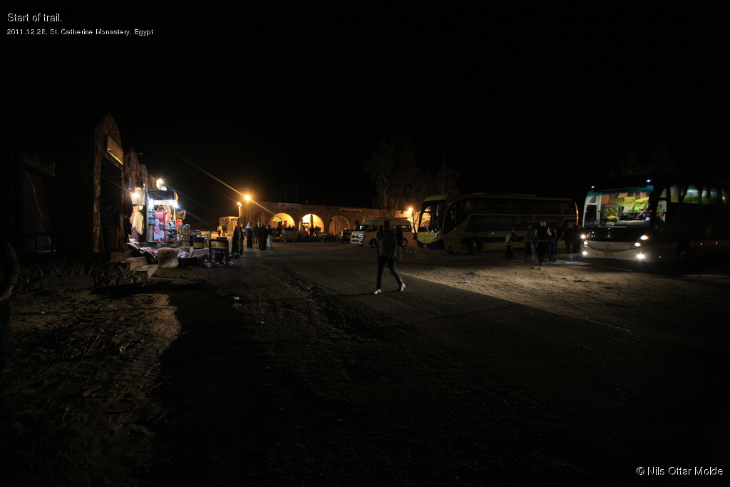

After a small gathering of our group where the guide asked us to be present at this location no later than 10:00 after our trip, we were off. The guide had of course taken care of all "red tape" before we set out. There is a Tourist Police present at the entrance and I guess some fee is to be paid before entering the mountain.
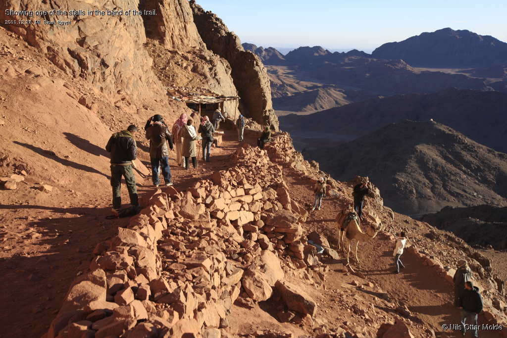
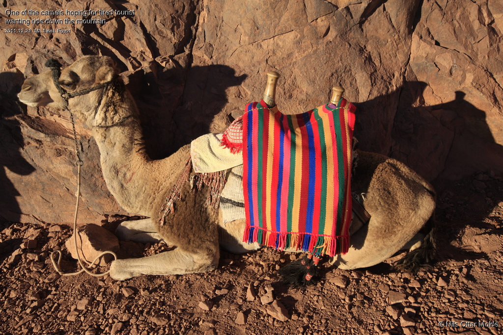
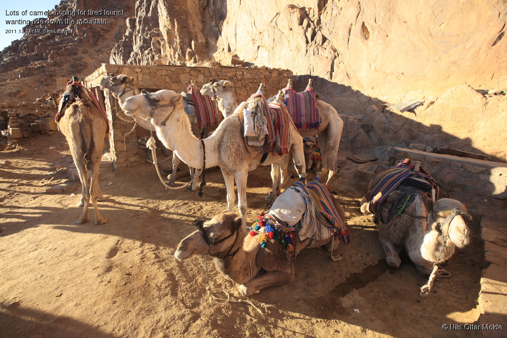
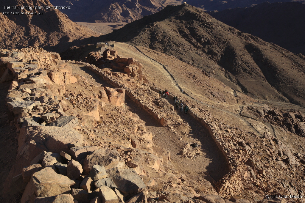
It was pitch black so the only view during the whole climb would be just the circle of lights cast by the flashlights/headlamps. Soon we encountered natives with camels who would ask if we wanted to rent a camel to take us to the top. We also saw several groups of "lights" on the trail both in front of us and behind us. A group of asians with Santa Claus hats with rows of red light flashing on and off overtook us, all riding camels.
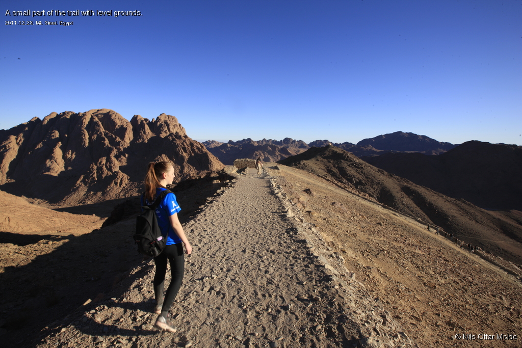
The trail was very easy to walk and we had frequent pauses in order for the guide to make sure that the group kept together. At regular intervals there were set up stalls selling water, softdrinks and chocolate and all along the way beduins renting out camels. I had brought chocolate with me in my rucksack but decided to not use this and bought all I needed from the vendors on the mountain giving them some business.
At some of the stalls there were also set up WC's that could be used for a minor fee.
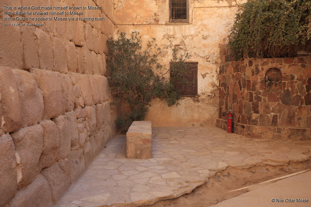
When we were 150 - 200 meters from the top the time was not more than 04:30 and it would be too early to go to all the way up. If was now below zero and standing at the top waiting for the sunrise would be a cold experience indeed. The guide had a deal with one of the vendors with a large stone hut and we were all invited inside where there was warmer and we could buy tea or coffe. The guide entertained us by telling the history of Moses as seen from the Quran vs the Bible.

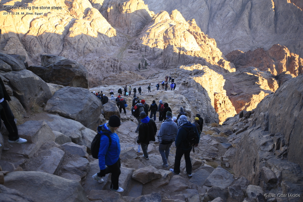
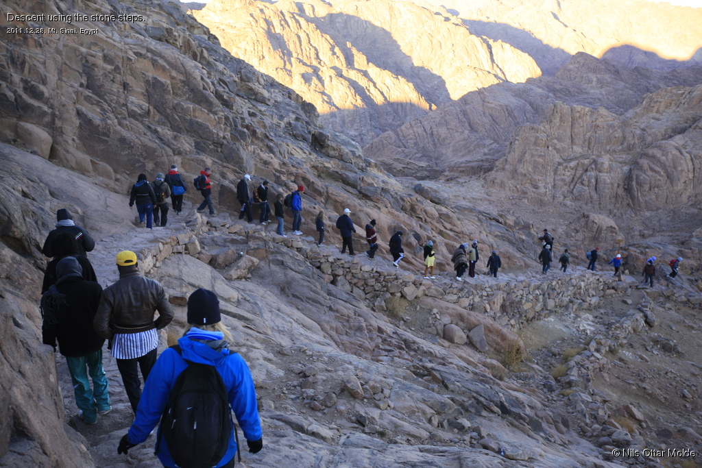
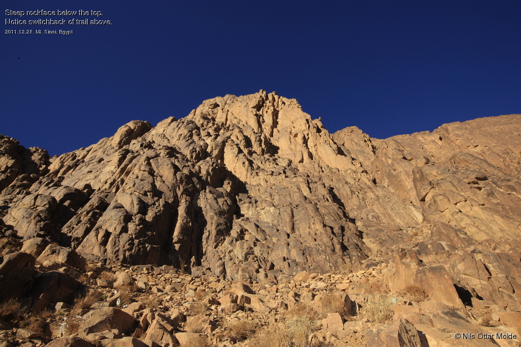
After about 45 minutes we started on the final ascent to the top. This was a bit more steep and consisted for the most part of stone steps. Suddenly there were much more people than before and I realized that several parties must have started after us and were now crowding the trail. The equipment came in all flavours from men in suits to women with city shoes carrying plastic bags. Unbelievable! They must be having an awful climb and freezing as well. Clearly the preparations differed hugely and we passed many people who clearly were at the end of their resources. I take it that it was some kind of pilegrim journey for these people and that they did not usually spend time outdoors climbing mountains.
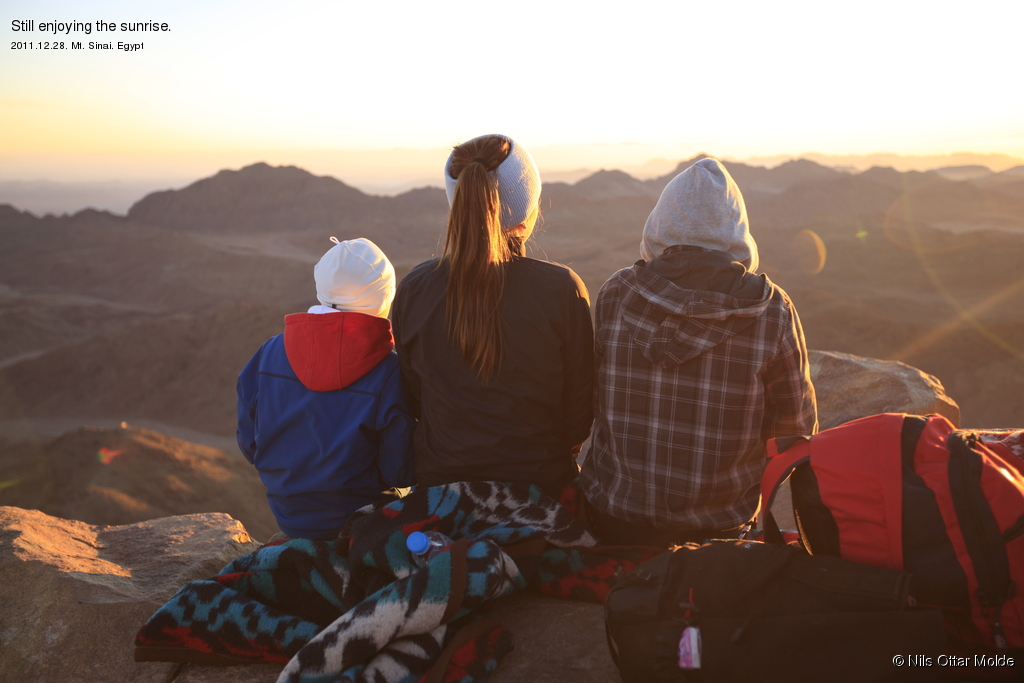
Just below the top two more stalls were set up renting out blankets. We rented two and continued to the top, went all the way to the east side and sat down on a natural stone shelf, wrapping ourselves into the blankets.
In the east we could now see the weak promise of the sunrise.

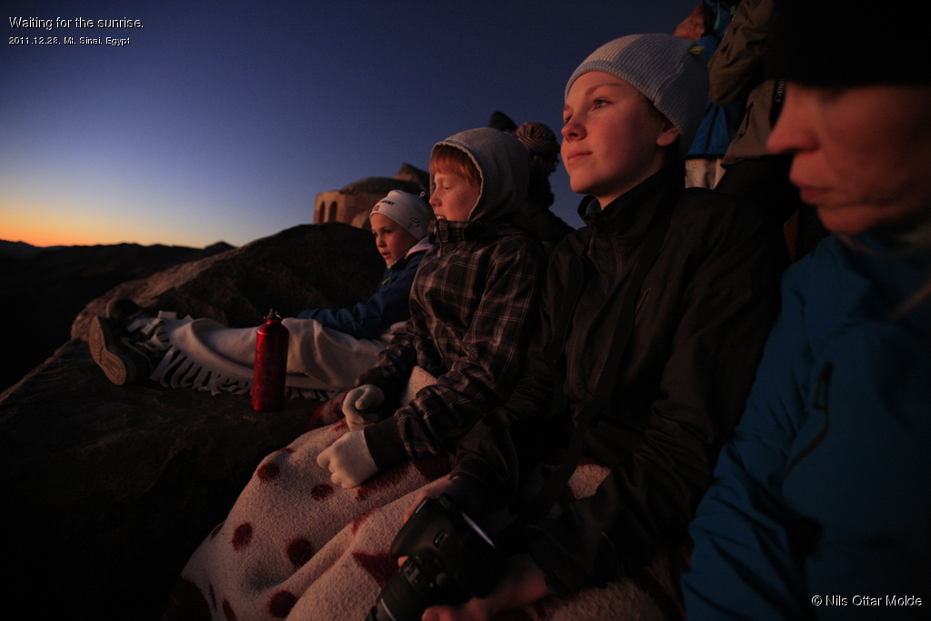
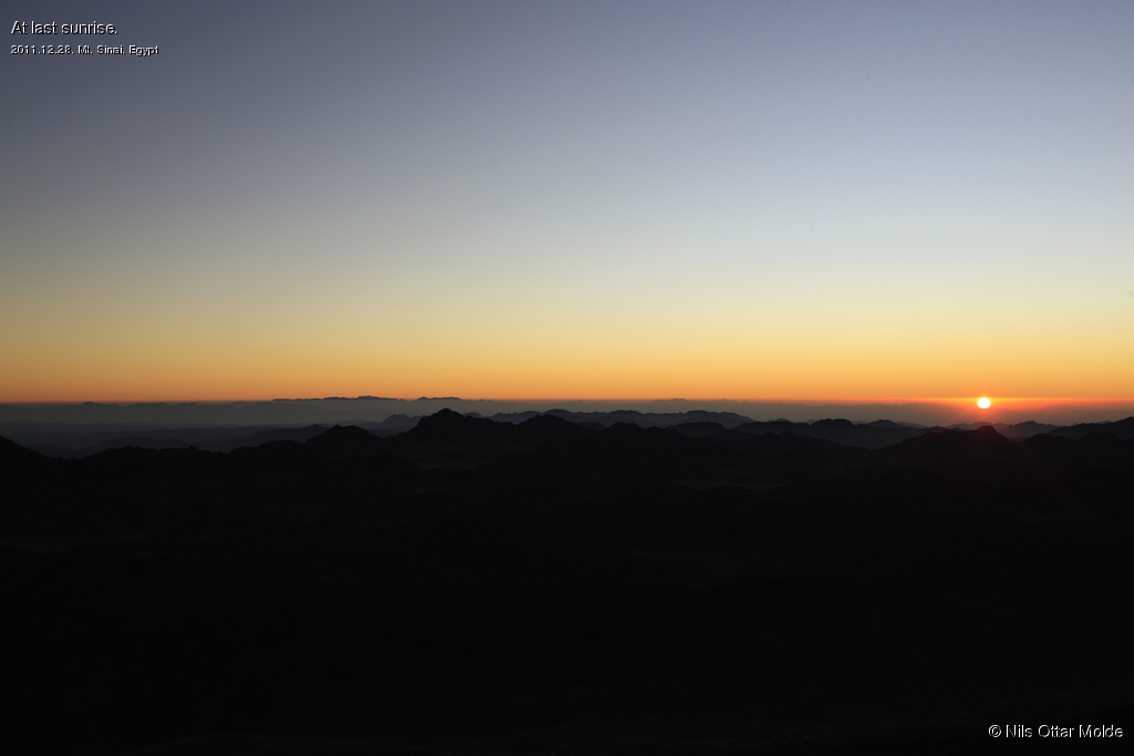

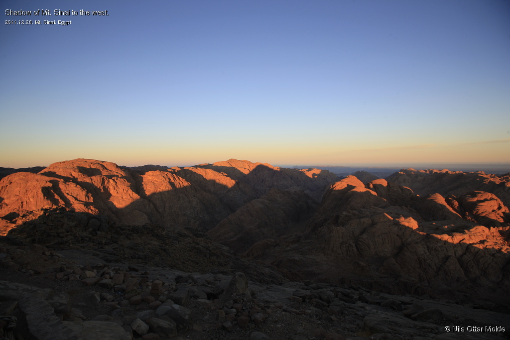
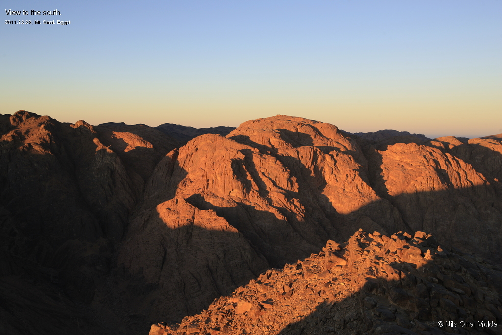
When the sun rose the temperature also rose rapidly. After enjoying the view for about 30 minutes we explored the rest of the top of the mountain.
Now I also got a nasty blow to my plan of going to Mt. St. Catherine the same day. This mountain was not just a little trip over ... it was a descent of at least 500 meters before you could reach the foot of the mountain and then you had an ascent of about 900 meters. In other words : I could not manage this on the remaining time before the bus would start on the return trip. I kicked my self mentally because I had not spent more time before we left from Norway getting a more exact lay of the land ... not that it would have made any difference but then I would have been spared the disapointment ... somewhat spoiling the current experience.
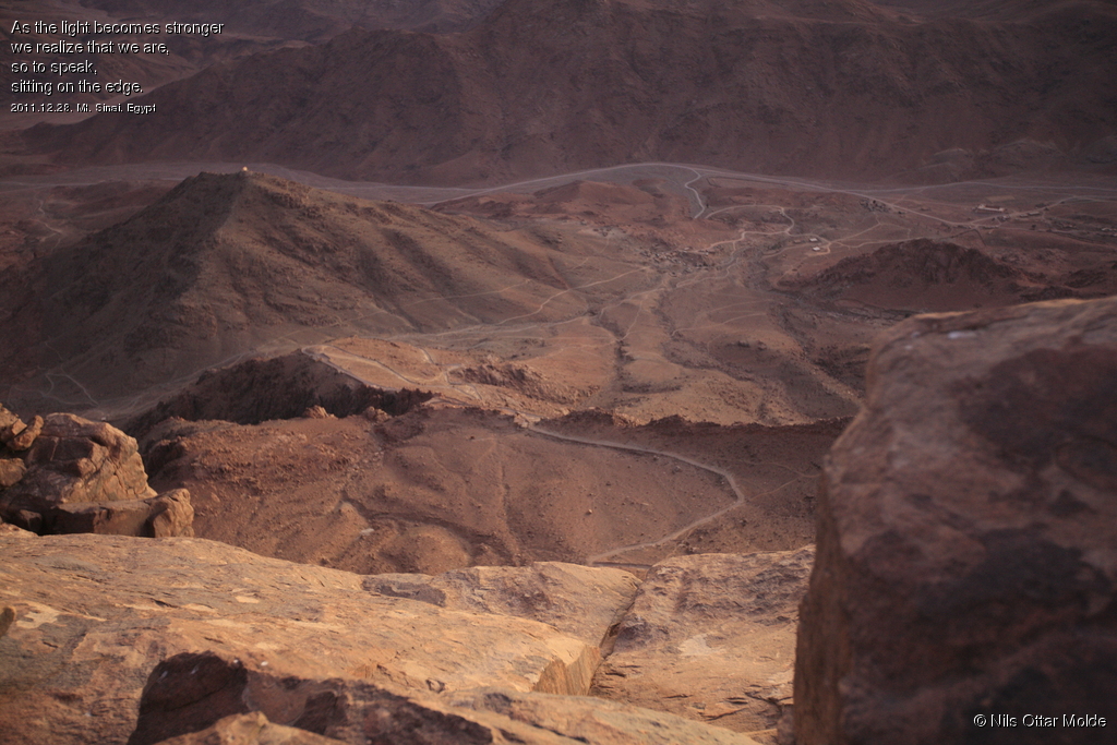
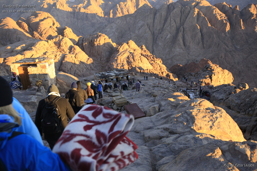
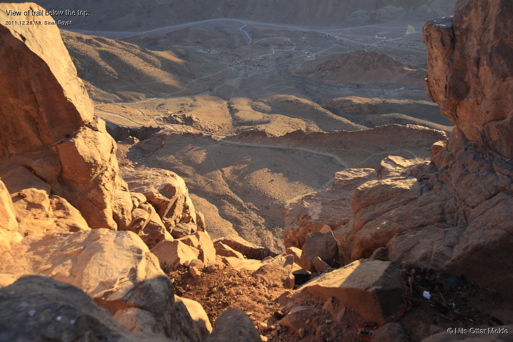
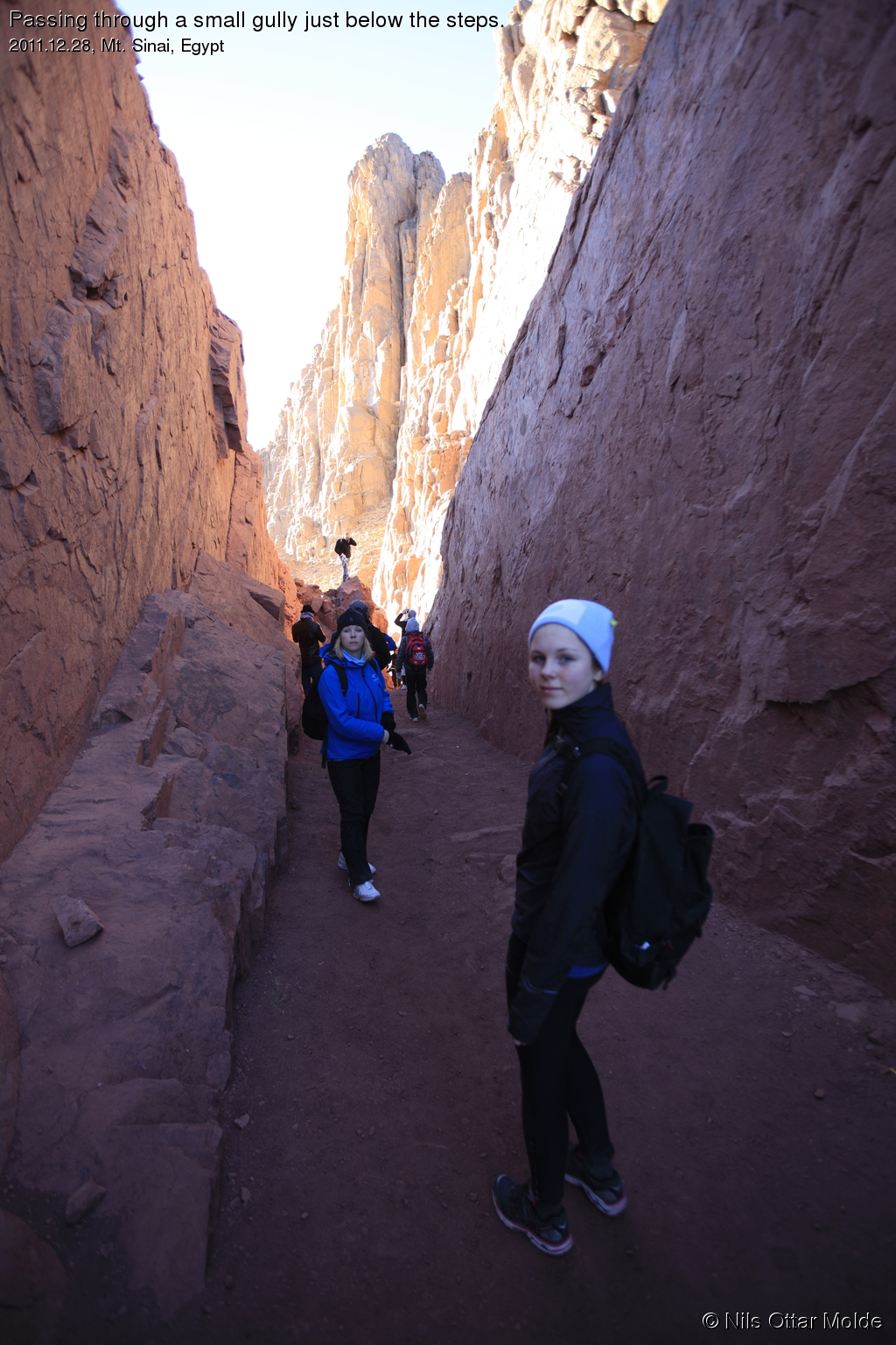
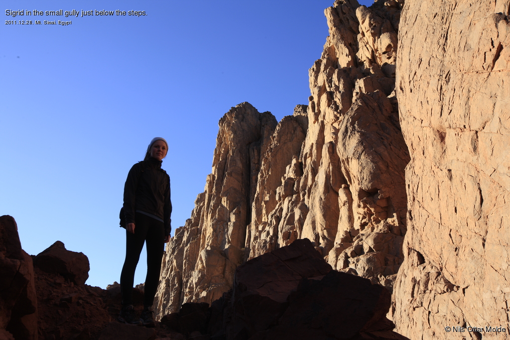
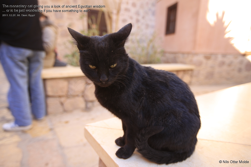
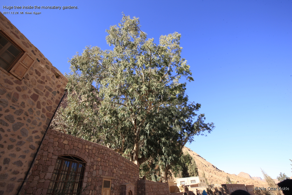
The descent was very nice with the sun now removing the last traces og chill in the air. For the first time we got to see the trail and the mountain in daylight. Below is some of the pictures taken during the descent.

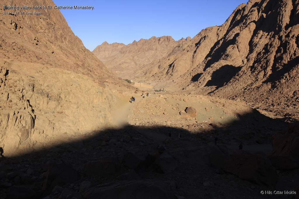
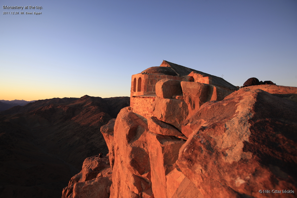
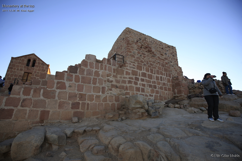
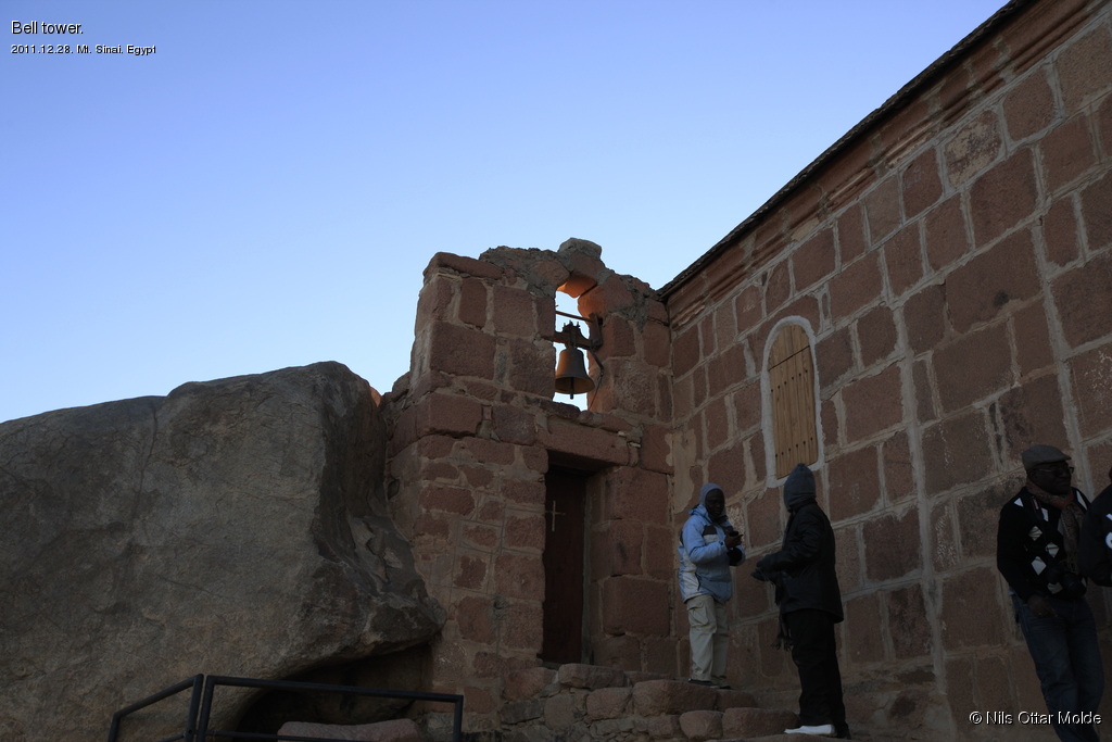
At the end of the trail the monastery of St. Catherine is situated. The guide took us on a brief walk through the buildings giving us an interesting lecture of the place.


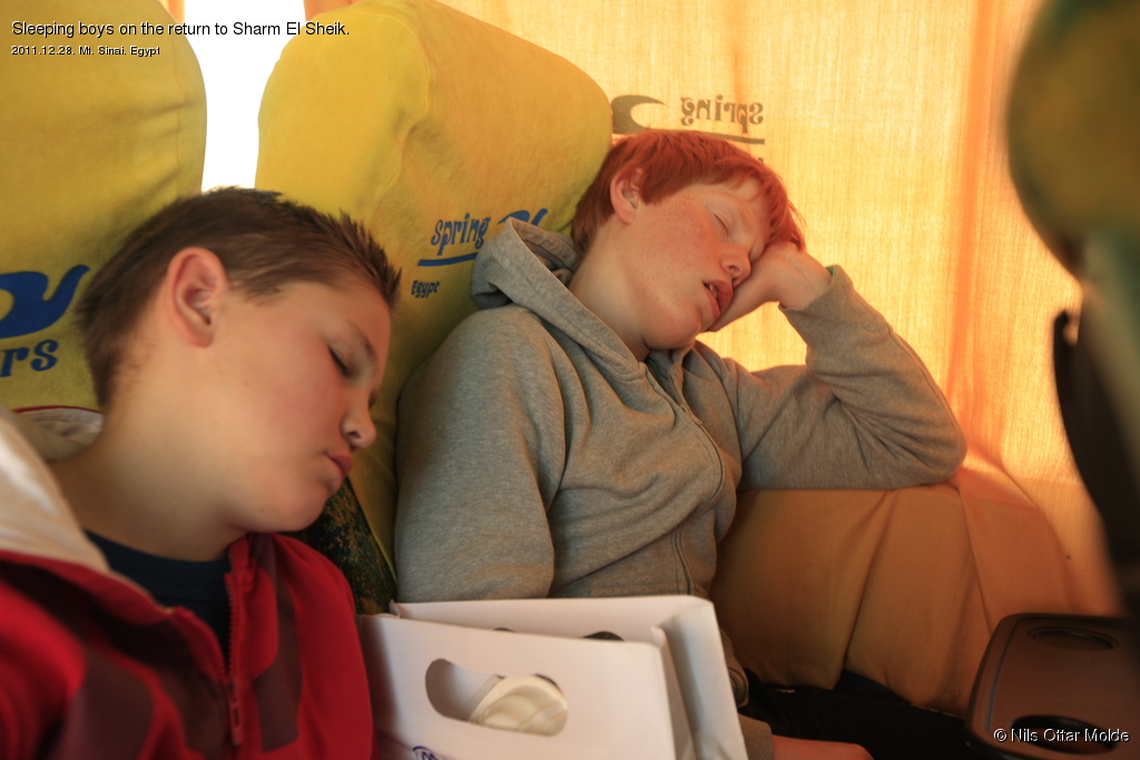
On the bus ride back to Sharm El Sheik the young ones slept all the way.
I did not manage to sleep as I was enjoying the view ... and my mind was preoccupied with figuring out how I could manage to get to the top of Mt. St. Catherine during the few days we had left.
You can read more about that here.
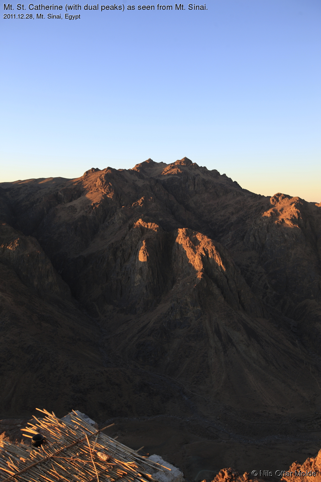
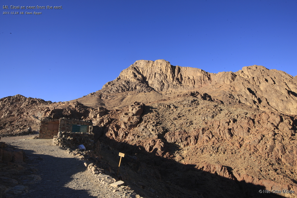
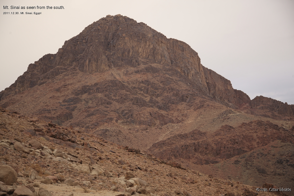
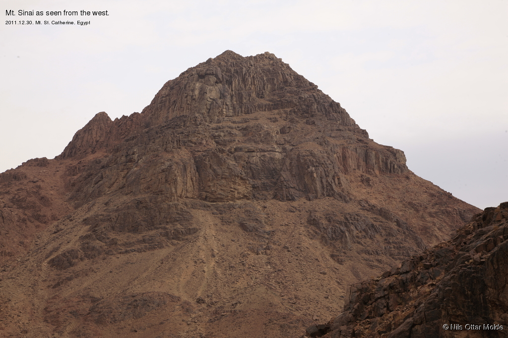
At last a couple of images showing Mt. Sinai from different angles.
This was a very enjoyable experience for the family. The children thought this was exciting fun. It comes highly recommended, but make sure that you have enough warm clothes!
If you, like me, enjoy a more solitary experience, the correct day to go to the top would be on a friday. This is the muslim holiday and all the natives will be having their day of rest. No camels for rent and all the stalls closed. Also the trail is well enough defined that a guide will not be needed. When we were at the mountain it was about 200+ people there at the same time giving a bit of a crowded feel on the last part with the stone steps to the top both during ascent and descent. But this is individually of course.
Trivia/Reference
Photos marked with Nils Ottar Molde is taken with a Canon EOS-1 Ds Mark III camera, using a Canon EF 16-35mm II USM lens.
Photos marked with Sigrid Indrekvam Molde is taken with a Canon EOS 600D camera.
Here is how the GPS readings we collected during the trip is rendered in Google Earth.

And below is the kml format of the route. Using the GPSBabel software, you could probably convert it to fit into your own GPS device.
This file can also be applied directly into Google Earth so you can view the route from many different angles and altitudes.
Download kml file for Mt. Sinai.